Hi, what do you want to do?
Read Works
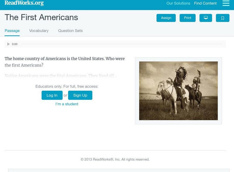
Read Works: The First Americans
[Free Registration/Login Required] Intended to support early elementary students' reading comprehension, the importance of Native Americans is discussed in this informational text. Visual cues are provided to support the passage and...
CommonLit
Common Lit: Text Sets: Native American History
This is a collection of 27 Grade-Leveled texts (4-12) on the topic Native American History. Before European settlers came to North America, millions of native people lived in many unique societies. Explore the history of Native Americans...
University of Groningen
American History: Outlines: New Peoples
Most settlers who came to America in the 17th century were English, but there were also Dutch, Swedes and Germans in the middle region, a few French Huguenots in South Carolina and elsewhere, slaves from Africa, primarily in the South,...
Other
The People's Paths: Remarks Concerning the Savages of North America
Written in 1784, this piece by Benjamin Franklin, considers the relative meaning of civilization and manners while he recalls several anecdotes of interaction between the European settlers and the Natives of North America.
Annenberg Foundation
Annenberg Learner: America's History in the Making: Contested Territories
This site highlights the westward expansion of settlers in North America and the effects this expansion had on Native Americans between the Revolutionary and Civil Wars.
Curated OER
Cbc.ca: Taking the West Pioneers Head West
After Confederation, Canada focused on settling the vast lands to the West. They hoped to avoid the problems already faced by the Americans in western expansion by establishing peace and law before the settlers arrived.
Alberta Online Encyclopedia
Alberta Online Encyclopedia: Competitive Fur Trade (1850 1900)
This encyclopedia article explains that competition in the fur trade did not end after the 1821 merger of the North West Company and Hudson's Bay Company. The Metis and other private traders were active with American trade companies....
Other
California Missions Resource Center
Peruse this thorough resource featuring historical California missions stretching from San Diego to San Francisco as the Spanish established themselves on the west coast of North America between 1768-1853. Read stories of the early...
Curated OER
Etc: Oregon Trail and Other Routes, 1832 1842
A map of western North America between the opening of the Oregon Trail in 1832 to 1842, prior to the establishment of the Provisional Government of Oregon by American settlers in 1843. The map shows the boundary of the Oregon Country,...
Curated OER
Educational Technology Clearinghouse: Maps Etc: The San Juan Boundary, 1883
A map of the Puget Sound area of North America showing the area of the boundary dispute between British Columbia and the United States. The San Juan Boundary was the source of a military conflict between the US and British North America....
Tom Richey
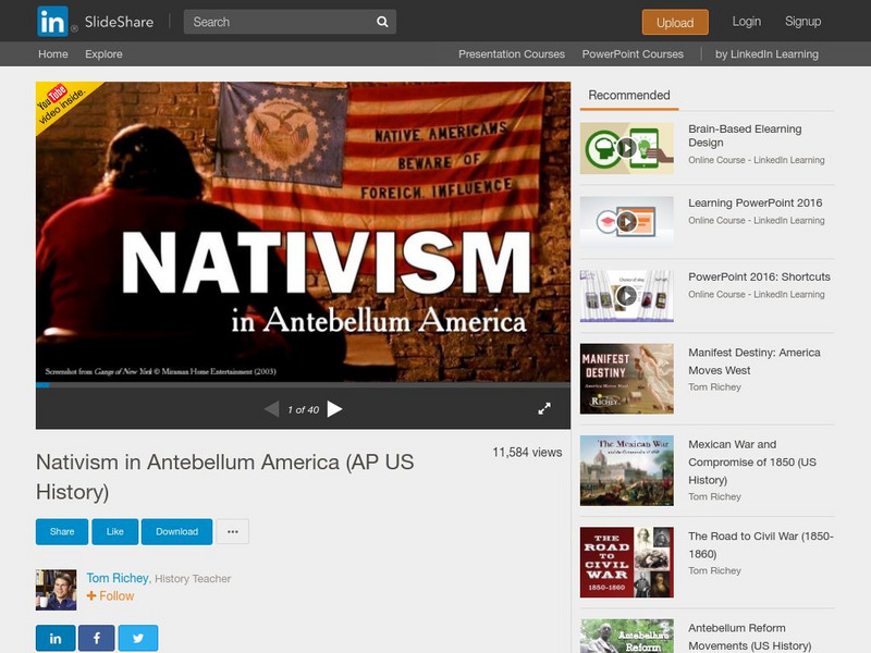
Tom Richey: Nativism in Antebellum America
A comprehensive slideshow illustrates the history of nativism in North America. Understand the role nativism plays in immigration as well as the Native Americans who were here long before the settlers come to the nation.
Curated OER
Educational Technology Clearinghouse: Maps Etc: British Canada, 1791
A map of eastern Canada in 1791 after the American Revolution, during the formation of British North America and the division of Quebec into the largely French-speaking Lower Canada and the Loyalist Upper Canada. The map is color-coded...
Curated OER
Etc: Maps Etc: The Location of the Eastern Indian Tribes, 1600s
A map from 1911 of eastern North America showing the general areas of early contact between the Native Americans and European settlers. The map is divided by groups (Algonquians, Iroquoians, Siouans, and Muskhogeans) and the principal...


