Curated OER
Etc: Maps Etc: Campaign in Northeast Ireland, 1690
A map of Ulster in the north-east of Ireland during the War of Two Kings (Williamite War or Jacobite War), showing the campaigns in the region, including the siege of Londonderry (Derry), Enniskillen, Battle of Newtown Butler (1689), the...
Curated OER
Educational Technology Clearinghouse: Maps Etc: The Northeast, 1689 1713
A map of the region around the St. Lawrence River from Lake Ontario to Quebec, and New York to Albany. The map shows the area of the King Williams War (1689-1697), the invasion of Canada by Schuyler (1691), and Queen Anne's War...
Curated OER
Educational Technology Clearinghouse: Maps Etc: Anthracite Region, 1922
A map from 1922 of the anthracite region in northeast Pennsylvania in the vicinity of Scranton and Allentown, showing county lines, principal cities and towns, railroads, terrain features, lakes, and rivers.
Other
Northeastern States Activity
This site gives and teachers and students ideas for research topics about the northeastern states. Topics range from economics to science. The content is geared towards elementary level students.
US Department of Agriculture
White Mountain National Forest
Find current information about visiting the White Mountains at this resource. Be sure to click on Environmental Assessments for more clinical information and Notes from a Naturalist for general information about the mountain environment.
Other
Smis: Daily Satellite Photo: European Russia, Western Siberia, North East Europe
This site offers weather maps for three areas: European Russia, Western Siberia, and Northeast Europe. The maps show very current weather conditions for each area.
Other
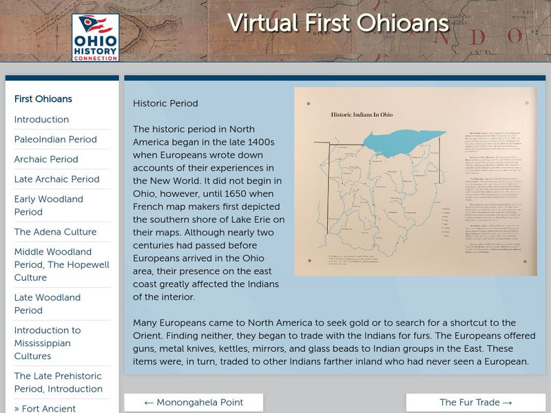
Ohio Historical Society: Historic Period
Enter the Europeans into the woods and plains of central North America. How did this effect the people that were here already? Who was here, and what happened when worlds collide? Click on the thumbnail images for more information on the...
US Department of State
America.gov: Megalopolis
An excellent definition of a megalopolis. Begins with the creation of Megalopolis and delves into the dominant theme which is "Urban-ness." The "Changing Patterns in Megalopolis," are also discussed.
Northeast Parallel Architectures Center, Syracuse University
Npac Reu Program: Norad Air Defense Overview
Northeast Parallel Architectures Center from Syracuse University provide an overview of NORAD with information about its structure, mission, purpose, regions, and importance.
Other
Western North Carolina Vitality Index: River Basins
Ten river basins drain about 11,459 square miles in Western North Carolina. The New River, in the northeast corner of the region, is thought to be one of the oldest in the world.
Nature Conservancy
Nature Conservancy: Animals We Protect: Karner Blue Butterfly
Discover the beauty of the Karner blue butterfly found in the Great Lakes region and the northeast United States.
ClassFlow
Class Flow: Thirteen Colonies
[Free Registration/Login Required] This flipchart includes information and maps of the original thirteen colonies and describes the characteristics of the three regions involved-- Northeast, Middle and Southern. Questions to check for...
Curated OER
Educational Technology Clearinghouse: Maps Etc: Rainfall in North America, 1898
A map from 1898 of North America, Central America, Greenland, and the Caribbean to Puerto Rico showing the general distribution of rainfall in the region. The map shows areas of little or no rainfall to areas of heavy rainfall. The map...
Curated OER
Educational Technology Clearinghouse: Maps Etc: Pre Colonial Africa, 1885
A map of the African continent prior to the Berlin Conference of 1885, when the most powerful countries in Europe at the time convened to make their territorial claims on Africa and establish their colonial borders at the start of the...
Curated OER
Etc: Maps Etc: Drainage on the Laurentian Plateau, 1911
A map from 1911 of a portion of the Laurentian Plateau region of North America showing the drainage and lake network west of Lake Nipigon. The map shows the division line for waters flowing to the Albany and the Winnipeg river systems,...
Curated OER
Etc: Maps Etc: Rainfall and Winds in South America, 1916
A 1916 map of South America, showing annual rainfall and prevailing winds. This map shows the wind direction of the Northeast Trades, the Atlantic and Pacific Southeast Trades, and the Westerlies, and shows their effect on rainfall...
Other popular searches
- U.s Northeast Region
- Northeast Region Map
- Us Northeast Region
- Northeast Region of Us
- U. S. Northeast Region
- Usa Northeast Region
- Northeast Region of the u.s
- The Northeast Region
- Northeast Region in Usa
- Us Northeast Region Map
- Northeast Region of the Us
- Art Northeast Region Map


