Hi, what do you want to do?
Curated OER
The World's Newest Landmark
In this reading comprehension worksheet, students read a 6-paragraph article about the tallest building the world, the Burj Khalifa. Students respond to 6 short answer questions. Vocabulary words and definitions are included.
Curated OER
Immigration in the United States from 1880-1910
Eleventh graders explore, examine and study immigration in the United States from 1880-1910. They identify different aspects of the American immigration movement. Each student also shares where their ancestors are from and their...
Curated OER
The Trading Post with the Most: Colonial Dorchester's Settlement and Economy
Eighth graders explore the Dorchester settlement, In this American colonial history lesson, 8th graders examine primary resources and maps from the Dorchester trading post in order to learn about its contributions to the...
Curated OER
The Roman Empire
Fourth graders identify the reasons behind the fall of the Roman Empire and describe the changes that occurred after the fall of the Roman Empire.
Curated OER
U.S. Quiz Questions
In this ESL United States worksheet, learners answer a set of 25 questions about the United States. The answers to each question are written beneath each.
Curated OER
Etc: Maps Etc: Northern New England and Canada, 1919
The Northern New England states and part of Canada in 1919, showing roads.
Curated OER
Etc: Maps Etc: Canada and Northern New England, 1919
Parts of Northern New York, and Quebec.
National Wildlife Federation
National Wildlife Federation: Northern Forest
NWF features the Northern Forest highlighting its native people and wildlife. Threats to this massive forest of the New England forest ecosystem are identified.
Khan Academy
Khan Academy: Anglo Saxon England
In the fifth century C.E., people from tribes called Angles, Saxons and Jutes left their homelands in northern Europe to look for a new home. They knew that the Romans had recently left the green land of Britain unguarded, so they sailed...
Other
Hillcrest High School: The Colonies Come of Age: The Commercial North [Pdf]
A chapter from a history text that looks at the Northern colonial economy, colonial town life, the immigrant groups who settled there, slavery in the North, the role of women, the Salem witchcraft trials, and the influence of the...
Other
School Wires: The Commerical North [Pdf]
The Northern colonies developed a predominantly urban society, based on commerce and trade.
Black Past
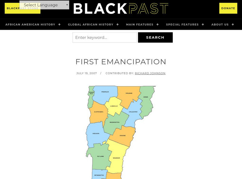
Black Past: The First Emancipation
This encyclopedia entry gives interesting information about how the Quakers encouraged legislation that led to the banning of slavery in states in the Northeast by 1820.
Digital History
Digital History: "Bleeding Kansas" and "Bleeding Sumner"
Read about how the concept of popular sovereignty expressed in the Kansas-Nebraska Act resulted in political intrigue and murder in Kansas and the caning of a U.S. Senator in the Senate chamber.
McGraw Hill
Mc Graw Hill: Colonial Economy and Patterns of Society
Although tied to pages from a specific text, these AP study questions allow anyone to consider aspects of colonial economics. (Answers to some of the questions are located at the following link:...
Curated OER
Etc: Claims of Various European Countries to the Us, 1643 1655
A map of the eastern coast of North America showing territorial claims of Europeans and the development of the United Colonies of New England (New England Confederation) in 1643, and the territorial changes between the Dutch and British...
Curated OER
Etc: Atlantic Coast Development, 1650 1695
A series of maps showing the development and colonial claims of the northern Atlantic Coast between 1650 and 1695. The maps are color-coded to show charter colonies, proprietary colonies, and the royal colonies. The map from 1650 shows...
Curated OER
Etc: Maps Etc: Forest Map of the United States, 1910
A map from 1910 of the United States showing the forest regions of the Pacific, Rocky Mountains, Northern Forest in the Great Lakes and New England areas, Southern Forest along the Gulf and East Coast, and the Hardwood Forest. The map...
Curated OER
Educational Technology Clearinghouse: Maps Etc: Seat of War, 1812 1814
A map of the Great Lakes and New England region of North America showing the northern area of conflict during the War of 1812, including the important sites of Detroit, Buffalo, Lewiston, Queenstown, Ogdensburg, Battle of the Thames...
Digital History
Digital History: European Colonization North of Mexico
Although settlements by other northern European countries are mentioned, the primary focus of this article is on English settlements and the types of immigrants who came to the New World from England.


