Library of Congress
Loc: America's Story: Ohio
Can you guess what the Ohio state tree is? How many presidents were born and lived in Ohio? Find the answers to these questions by checking out this Library of Congress state profile.
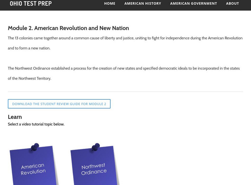
Ohio Test Prep
Ohio Test Prep: Module 2: American Revolution and New Nation
Ohio state test preparation material in Social Studies prepares students on the topic of the American Revolution, Northwest Ordinance and statehood. Learning materials include video tutorials, interactive review games, downlodable review...
Ohio History Central
Ohio History Central: Battle of Fallen Timbers
This site presents the background and a brief description of the Battle of Fallen Timbers.
Ohio History Central
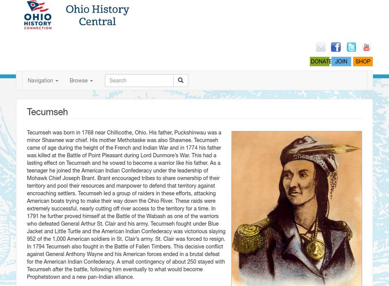
Ohio History Central: Tecumseh
This site presents a biography of Tecumseh, leader of the Shawnee Indians.
Curated OER
Educational Technology Clearinghouse: Maps Etc: The Northwest Territory, 1787
A map of the Northwest Territory of the United States north of the Iroquois or Ohio River in 1787 showing early forts and settlements with dates of establishment given, rivers, and the general territories of the Illinois, Miami, and...
Ducksters
Ducksters: Ohio State History for Kids
Investigate the history and timeline of the state of Ohio including early explorers, Native Americans, French and Indian War, Northwest Territory, and the Civil War.
Curated OER
Map of the Northwest Territory
This is a study guide about the Northwest Ordinance created to help students prepare for the Citizenship portion of the Ohio 9th Grade Proficiency Test. There are links to important terms or other related words.
National Humanities Center
National Humanities Center: Toolbox Library: America, 1789 1820: The Northwest Ordinance, 1787
The National Humanities Center presents collections of primary resources compatible with the Common Core State Standards historical documents, literary texts, and works of art thematically organized with notes and discussion questions....
Curated OER
Etc: Development of the Northwest Territory in Us, 1790 1810
A map of the American Northwest Territory showing the boundary developments in 1790, 1800, and 1810. The upper left map shows the territory acquired by the United States from Britain after the Revolutionary War as established by the...
Curated OER
Etc: Early Territory of the United States, 1783 1863
A map of the early United States west of the Mississippi River, showing the original territory after the Treaty of Paris 1783, the territory northwest of the Ohio River, the territory south of the Ohio River, the Mississippi Territory...
Curated OER
Etc: Original Territory of the United States, 1783 1790
A map of the United States showing the territorial growth from 1783 to 1790. The map is color-coded to show the original territory after the American Revolutionary War, the Northwest Territory north of the Ohio River in 1787, the...
Curated OER
Educational Technology Clearinghouse: Maps Etc: The State of Ohio, January 1804
After the French and Indian War, France ceded control of the Northwest region including Ohio to Great Britain. With American independence, Ohio became a part of the Northwest Territory, the first organized land addition to the original...
Curated OER
Etc: Acquisition of Territory, 1783 1884
A map from 1885 of the United States showing the territorial growth from the original States and the Northwest Territory in 1783 to the Russian cession of Alaska in 1867. The map is color-coded to show the progression from the original...
Ohio History Central
Ohio History Central: Sauk Indians
This is a very brief article on the Sauk Indians, who were part of the Algonquin Indians. Read about their involvement in the French and Indian War and the American Revolution.
Curated OER
Educational Technology Clearinghouse: Maps Etc: The Early United States, 1790
A map of the United States in 1790 showing the territorial claims of the states at the time, and the British and Spanish possessions and territory disputes. The map shows the frontier lines or extent of settlement from the coast of Maine...
Curated OER
Educational Technology Clearinghouse: Maps Etc: United States, 1789
A map of the United States in 1789, showing the State territorial claims, territories, and areas of territorial dispute. The map is color-coded to show States, territories, British possessions, and Spanish possessions, and shows the...
Curated OER
Educational Technology Clearinghouse: Maps Etc: The United States, 1800
A map of the United States in 1800 showing the territorial claims of the states at the time, the British and French possessions, and territory disputes. The map shows the frontier lines or extent of settlement from the coast of Maine to...
Curated OER
Etc: American Rev War Operations in the West, 1775 1782
A map of the Northwest Territory between the Allegheny Mountains and the Mississippi River and the Great Lakes to the Tennessee River showing the military operations and extent of settlement in the area during the American Revolutionary...
Curated OER
Educational Technology Clearinghouse: Maps Etc: The United States, 1800
A map of the United States in 1800 showing the original thirteen states with the additions of Vermont (1791), Kentucky (1792), and Tennessee (1796), the State claims to western lands by South Carolina and Georgia, the extent of the...
Curated OER
Educational Technology Clearinghouse: Maps Etc: Division of the West, 1782
A map of the United States and the division of the West as proposed by France, on September 6th, 1782. The map is color-coded to show the United States at the time, the Indian Reserves south of the Ohio River under the protection of the...
Curated OER
Educational Technology Clearinghouse: Clip Art Etc: Abraham Whipple
Abraham Whipple (26 September 1733 - 27 May 1819) was an American revolutionary naval commander. Whipple was born near Providence, Rhode Island and chose to be a seafarer early in his life. He embarked upon a career in the lucrative West...
Curated OER
Educational Technology Clearinghouse: Maps Etc: The War of 1812, 1812 1814
A series of maps showing the principal regions, campaigns, forts, and battle sites of the War of 1812, including: the northern seat of war in southern Canada, New York, Pennsylvania, Ohio, and the Michigan Territory; the vicinity of...
Curated OER
Educational Technology Clearinghouse: Maps Etc: Distribution of Population, 1790
A map of the original thirteen States in 1790 showing State lines, territories northwest and south of the Ohio River, British and Spanish possessions, and the distribution of the European-American population east of the Mississippi River...


