Hi, what do you want to do?
Curated OER
Island Hopping
Students to use cooperation, communication, problem solving, and math skills.
American Geosciences Institute
American Geosciences Institute: Earth Science Week: A Bit of Engineering
After researching how scientists drill into the ocean floor to retrieve core samples, students work in small groups to simulate the process in the classroom and report on their findings.
Science Education Resource Center at Carleton College
Serc: Fathoms, Ship Logs, and the Atlantic Ocean
Students use data from ship logs to graph a profile of the Atlantic Ocean. They will rely on prior knowledge of seafloor topography, instructions on how to read a bathymetric map, and observe a demonstration where the depth of the ocean...
PBS
Idaho Public Television: Ocean Murals
Integrative lesson plan incorporates math, science and art to teach children about the ocean and its inhabitants. Multiple activities included, approximately 4-6 days to complete. to other sources on oceans. References Bill Nye video...
NOAA
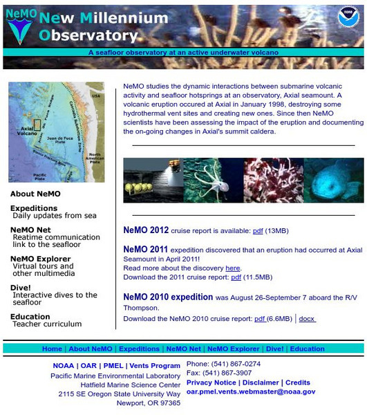
Noaa: New Millennium Observatory (Ne Mo)
NeMO is a seafloor observatory at an active underwater volcano! NeMO "background" is a great place to begin your scientific journey under the sea. Site includes virtual tours, daily updates from the sea, teacher resources and more.
Texas A&M University
Texas A&m University: Properties of the Ocean Activities
This site is from the Texas A&M University provides a lesson plan on measurement and properties of the ocean. As part of the lesson learners are challenged to create a model of an underwater amusement park. Web resources are provided...
NASA
Nasa: Oceanography
Join NASA in its study of oceanography and learn about the Earth system, the physical ocean, and life in the ocean. Try out the Giovanni: Earth Data Visualization Tool and access satellite-derived data to enhance the learning experience.
American Geosciences Institute
American Geosciences Institute: Earth Science Week: Deep Sea Drilling
In this activity, students learn about the JOIDES Resolution, an ocean-drilling vessel. They then use string to estimate the length of the ship and compare their estimates to the real length. They look at how deep the ocean water under...
US Navy
Naval Historical Center: The Navy Travels Undersea
[Archived Content] Have you ever wondered how it is possible to explore the ocean floor? This interactive site developed by the U.S. Navy answers this and other questions through various activities. Includes a biography of Dr. Ballard.
Texas Instruments
Texas Instruments: Numb3 Rs: Where's Cheetah?
Based off of the hit television show NUMB3RS, this lesson has students set up a search region for a yacht that sank into the ocean. Using cylindrical coordinates and a little trigonometry, students are able to block off a certain portion...
Woods Hole Oceanographic Institution
Woods Hole Oceanographic Institution: Tsunami: An Interactive Guide
A complete, interactive learning activity covering the science of tsunamis, preparedness, research, and historical tsunamis. Excellent animations and real, historical recordings of survivors allow the learner to experience what happens...
US Geological Survey
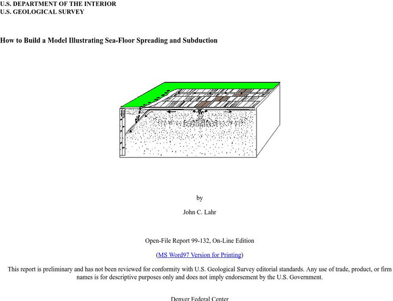
Usgs: How to Build a Model Illustrating Sea Floor Spreading
This is a comprehensive website featuring how to build a model that illustrates sea-floor spreading and subduction. It has diagrams and pictures reviewing major geological concepts.
Scholastic
Scholastic: Ocean Life
Good starting point for researching ocean life. Find general information, research-topic ideas, a glossary of important terms and people, and numerous links to related sites.
Science Education Resource Center at Carleton College
Serc: Aboard Alvin
This Gulf of Maine educational website takes students aboard the submersible Alvin. It includes informational pages such as a project overview, as well as pages about Alvin, hydrothermal vents, and the researchers involved in the...
Science Education Resource Center at Carleton College
Serc: Inquiry Into High Resolution Ice Core and Marine Sediment Records
Activity in which questions are provided relating to interpreting paleoclimate data such as characteristics that make sites favorable for paleoclimate records, locating sites using a map, finding patterns and correlations in the data,...
Curated OER
Unesco: Australia: Macquarie Island
Macquarie Island (34 km long x 5 km wide) is an oceanic island in the Southern Ocean, lying 1,500 km south-east of Tasmania and approximately halfway between Australia and the Antarctic continent. The island is the exposed crest of the...


