Hi, what do you want to do?
Curated OER
Super Scientists Code
In this science worksheet, students use the key code on the right to unscramble each of the scientists. They also match each of the scientists found to their correct description.
Curated OER
Looking into Surface Albedo
Students demonstrate how the color of materials on Earth affect the amount of solar energy that is absorbed. In this solar energy lesson students complete a lab to explore how the color of materials on the Earth's surface impacts...
Curated OER
Rain Shadows and Sea Breezes
Students plot the average rainfall for a variety of cities in the United States. Using the map, they work together to determine patterns on which toxicants are transported through the air. They determine the impacts of various weather...
Curated OER
Canada's Climate: Temperature and Rainfall Variations
Students analyze data about various climates in Canada. In this data analysis and climate instructional activity, students use Canada Year Book 1999 to complete a worksheet and make connections between precipitation and temperature in...
Curated OER
The Tilting Earth
Fourth graders use a styrofoam ball on a stick to represent earth and a light bulb in the center of the room to represent the sun. They walk around the light, holding their sticks at an angle to show the tilt of the earth's axis. They...
Math Science Nucleus
Math/science Nucleus: Observing Different Landforms
Lesson plan with subsequent pages to use with the lesson. Images with landform word match up and additional work on earth modeling.
Other
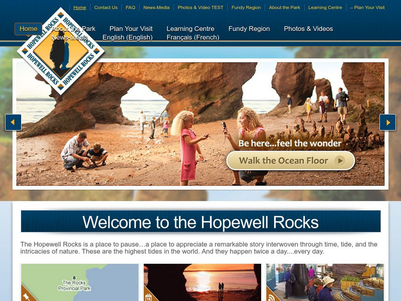
Hopewell Rocks 360 Degrees Panorama
Take a panoramic tour of the famous Hopewell Rocks. Explore the ocean floor and the rock formations. Be careful! When the tides come in the water rises to a height of a four story building.
Fourmilab Switzerland
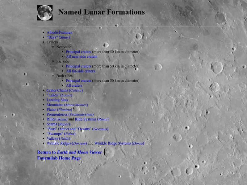
John Walker: Named Lunar Formations
This atlas of the Lunar surface features lists all named features. Click on a name and see an image of that item, or at least an image of the Moon centered on that item.
Science Education Resource Center at Carleton College
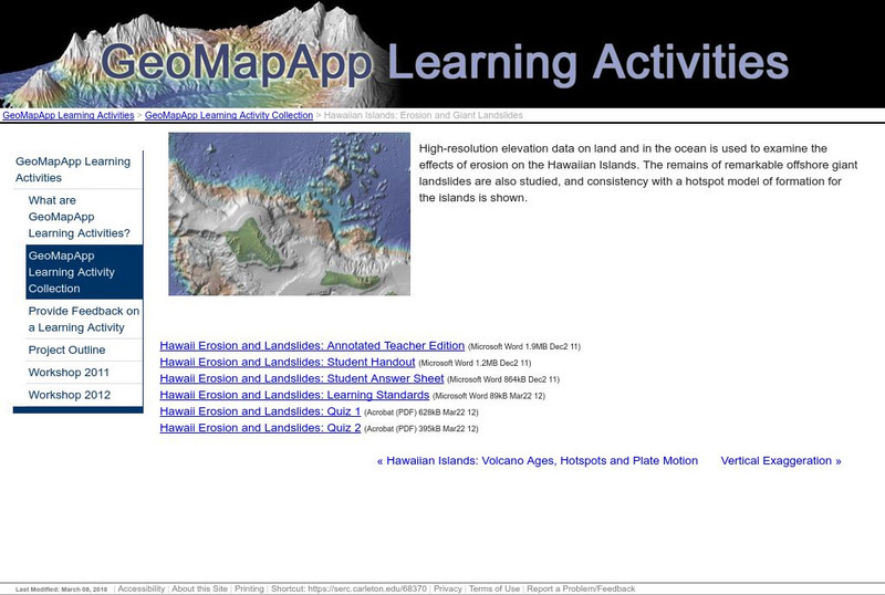
Serc: Hawaiian Islands: Erosion and Giant Landslides
High-resolution elevation data on land and in the ocean is used to examine the effects of erosion on the Hawaiian Islands. The remains of offshore landslides are also studied, and consistency with a hotspot model of formation for the...
Curated OER
Educational Technology Clearinghouse: Maps Etc: River Basins of Asia, 1912
A map from 1912 showing the various drainage basins across the Asian region. This map is color-coded to show watersheds draining to the Pacific Ocean in pink, to the Indian Ocean in green, to the Arctic Ocean in purple and inland basins...


