Houghton Mifflin Harcourt
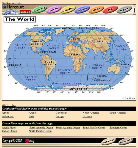
Harcourt: School Publishers: World Atlas: The World
Provides continent, country, and ocean floor maps from all over the world. Click on a continent's name to access the detailed maps which also include statistical facts on each available country.
National Geographic
National Geographic: My Wonderful World: World Wall Maps (Pdf)
Make your own full color or black and white mosaic wall map on your own printer. World maps, continents, Asian regions, and oceans are available for downloading, printing, and assembling.
National Center for Ecological Analysis and Synthesis, University of California Santa Barbara
University of California: A Global Map of Human Impacts to Marine Ecosystems
Maps in different categories such as fishing, climate change, and pollution were pulled together into a composite map that shows the impact of humans on the world's oceans. Analysis at the time (2008) showed that 40% of the world's...
Curated OER
Science Kids: Science Images: Indian Ocean
This is a satellite image of the Indian Ocean, the third largest ocean in the world. For more information on the Indian Ocean and other oceans of the world, check out our fun ocean facts for kids.
Curated OER
Science Kids: Science Images: Pacific Ocean
This is a satellite image of the Pacific Ocean, the largest ocean in the world. For more information on the Pacific Ocean and other oceans of the world, check out our fun ocean facts for kids.
Curated OER
Unesco: New Zealand: New Zealand Sub Antarctic Islands
The New Zealand Sub-Antarctic Islands consist of five island groups (the Snares, Bounty Islands, Antipodes Islands, Auckland Islands and Campbell Island) in the Southern Ocean south-east of New Zealand. The islands, lying between the...
Curated OER
Unesco: Bahrain: Pearling, Testimony of an Island Economy
The site consists of seventeen buildings in Muharraq City, three offshore oyster beds, part of the seashore and the Qal’at Bu Mahir fortress on the southern tip of Muharraq Island, from where boats used to set off for the oyster beds....
Curated OER
Surf's Up!
The National Weather Service presents "The Oceans" a complete site of the worlds water. Including information on layers of the ocean, waves, tides, and more. Also includes learning lessons and review questions.
Curated OER
The Ocean
The National Weather Service presents "The Oceans" a complete site of the worlds water. Including information on layers of the ocean, waves, tides, and more. Also includes learning lessons and review questions.
National Library of France
National Library of France: The Unknown Sea
An image-rich exposition of visual art that takes the sea as its a theme. Mythology, fantasy, mapmaking, and the history of sailing and marine exploration are all investigated as are fears about the ocean's power, puzzling beliefs about...


