Nations Online Project
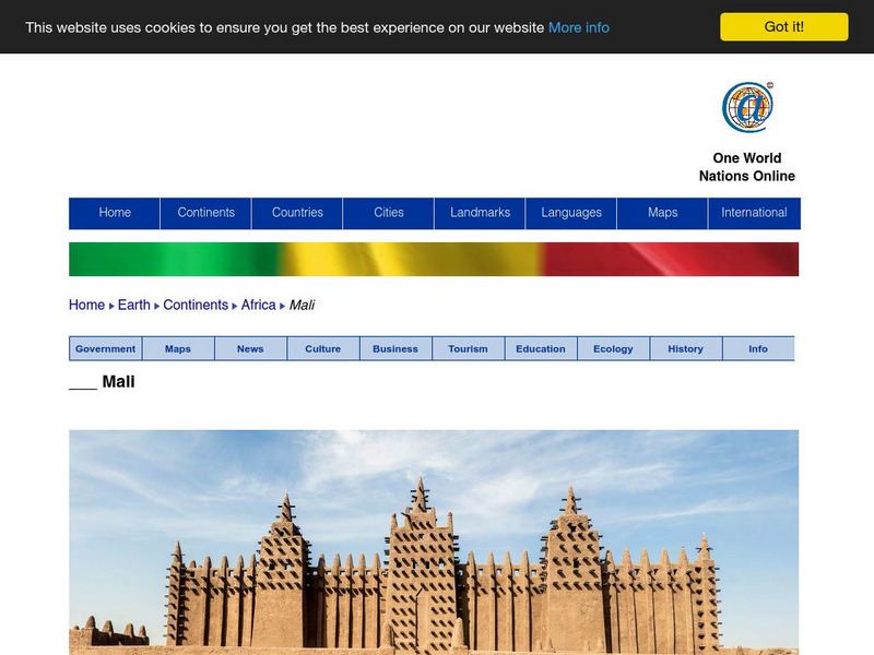
Nations Online: Mali
Features a broad country profile of the West African nation of Mali, background details, and numerous links to extensive information on the nation's culture, history, geography, economy, environment, population, news, government, and...
InterKnowledge Corp.
Exploring Mali
A very brief, yet informative page in which you will find an overview of Mali, its location, geography and climate, history and people.
Solomon R. Guggenheim Foundation
Guggenheim Museum: Africa: Western Africa
A simple explanation of the Western Africa region of Africa, with information on the cultural history and examples of artwork.
Solomon R. Guggenheim Foundation
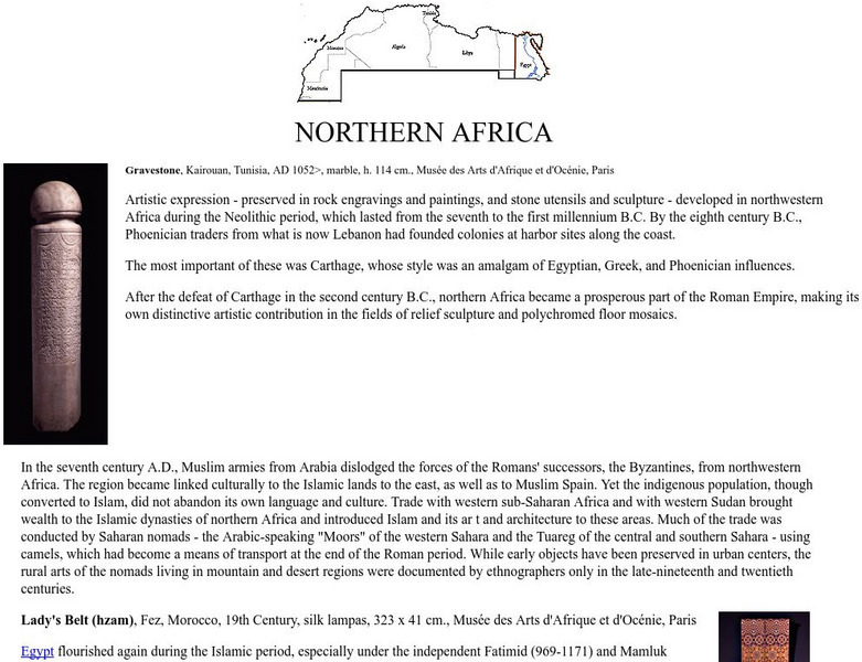
Guggenheim Museum: Africa: Northern Africa
A simple explanation of the Northern Africa region of Africa, with information on the cultural history and examples of artwork.
University of Calgary
University of Calgary: Africa the Search for Gold and Slaves
Historical background of the reasons for European exploration of Africa. Tutorial Links to further European trade and exploration.
US Geological Survey
Usgs: What Is a Desert?
At this site from the United States Geological Survey, you can read an informative and scientific explanation of what deserts are and what occurs in them. View pictures of deserts and a diagram showing the distribution of deserts in Africa.
Curated OER
Educational Technology Clearinghouse: Maps Etc: The Story of Africa, 1912
A stylized relief map of Africa, showing the Sahara, major rivers and lakes, mountains, "wild country," and other features. The Sahara is labeled as "The Great Desert that No Man Could Cross." with pyramids and temples drawn along the...
Curated OER
Educational Technology Clearinghouse: Maps Etc: Colonial Africa, 1899
Map of Africa in 1899 showing the colonial possessions of European powers on the continent established at the Berlin Conference of 1885. This map shows major cities and trade centers, railroad routes and canals, major river systems, and...
Curated OER
Educational Technology Clearinghouse: Maps Etc: Drainage Basins of Africa, 1916
A map of the major drainage basins of the African continent indicating the hydrologic flow to the Atlantic and Gulf of Guinea, the Mediterranean, the Red Sea and Indian Ocean, and the interior basins of the Sahara and Kalahari deserts...
Curated OER
Unesco: Algeria: Tassili N'ajjer
Located in a strange lunar landscape of great geological interest, this site has one of the most important groupings of prehistoric cave art in the world. More than 15,000 drawings and engravings record the climatic changes, the animal...
Curated OER
Unesco: Chad: Lakes of Ounianga
The site includes eighteen interconnected lakes in the hyper arid Ennedi region of the Sahara desert covering an area of 62,808 ha. It constitutes an exceptional natural landscape of great beauty with striking colours and shapes. The...
Curated OER
Bodil Mimi Krogh Schmidt Nielsen, Knut Schmidt Nielsen, Barbara Wagner
left to right: Bodil Mimi Krogh Schmidt-Nielsen (b. 1918), Knut Schmidt-Nielsen (1915-2007), and Barbara Wagner. The Schmidt-Nielsens were professors in comparative physiology at Duke University and Wagner was a secretary in the Duke...
Curated OER
Bodil Mimi Krogh Schmidt Nielsen (B. 1918) With Her Children
Bodil Mimi Krogh Schmidt-Nielsen (b. 1918), with her children (left to right) Mimi (age 5), Bent (age 9), and Astrid (age 11). They are shown examining study materials to be taken on an African expedition. The caption provided with the...
Curated OER
Science Kids: Science Images: Niger Flag
The national flag of Niger, a developing country in Western Africa that is largely covered by the Sahara Desert.


