Hi, what do you want to do?
Other
Six Nations: The Great Iroquois Confederation
This website provides information on the Six Nations or Iroquois Confederacy. Primarily aimed at defeating mistaken assumptions about the history and social organization of the Iroquois, it fails to include sources. Students should look...
Curated OER
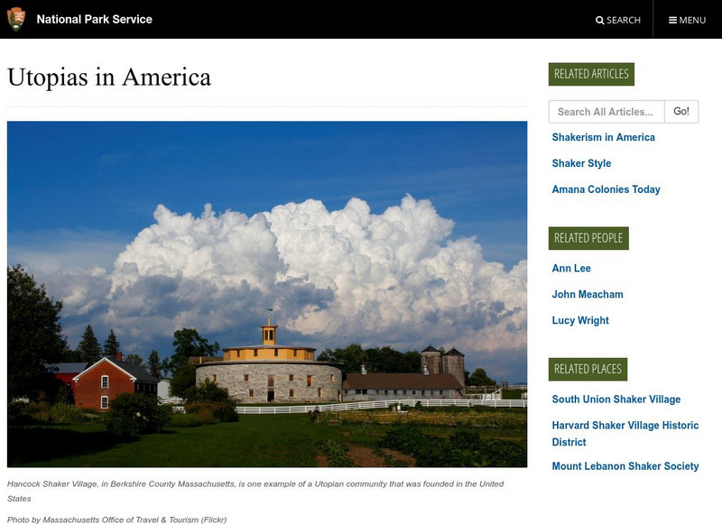
National Park Service: Utopias in America
A good look at the various Utopian communities established in the United States in the 1800s. Find out about the communities, their founders, and their demise.
Read Works
Read Works: Passages: "The League of the Iroquois" by Matthew Dennis
[Free Registration/Login Required] This article "The League of the Iroquois" by Matthew Dennis focuses on the 17th and 18th century "The League of the Iroquois" which united six Iroquois Nations: the Mohawks, Oneidas, Onondagas, Cayugas,...
Curated OER
Wikipedia: Natl Historic Landmarks in New York: Oneida Community Mansion House
Built in 1848 for the Oneida Community.
National Endowment for the Humanities
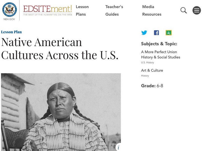
Neh: Edsit Ement: Native American Cultures Across the United States
Students explore different aspects of the cultures of the First Americans in this lesson plan. Stereotypes are often associated with Native Americans through movies and in the context of the Thanksgiving holiday. Specific information and...
Carnegie Museum of Natural History
Carnegie Museum of Natural History: The Iroquois of the Northeast
This site provides a brief look at the history of the Iroquois. The site has information about food, handwork, survival, and modern life.
Curated OER
Etc: Maps Etc: The Country East of the Mississippi, 1650
A map from 1872 of the country east of the Mississippi for the year 1650, forty-seven years after the settlement of Jamestown. This map shows early commencement of European settlement and the principal Native American tribal lands east...
Curated OER
Etc: Maps Etc: The Location of the Eastern Indian Tribes, 1600s
A map from 1911 of eastern North America showing the general areas of early contact between the Native Americans and European settlers. The map is divided by groups (Algonquians, Iroquoians, Siouans, and Muskhogeans) and the principal...


