Enchanted Learning
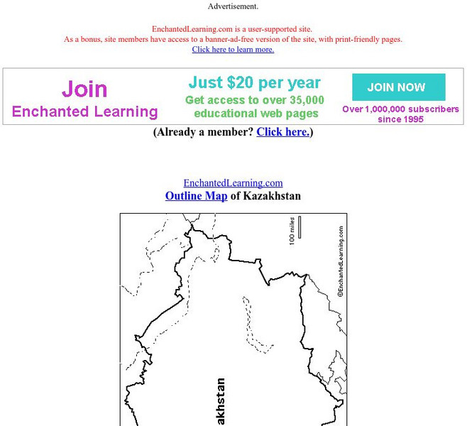
Enchanted Learning: Outline Map of Kazakhstan
Print out this outline map of Kazakhstan.
Enchanted Learning
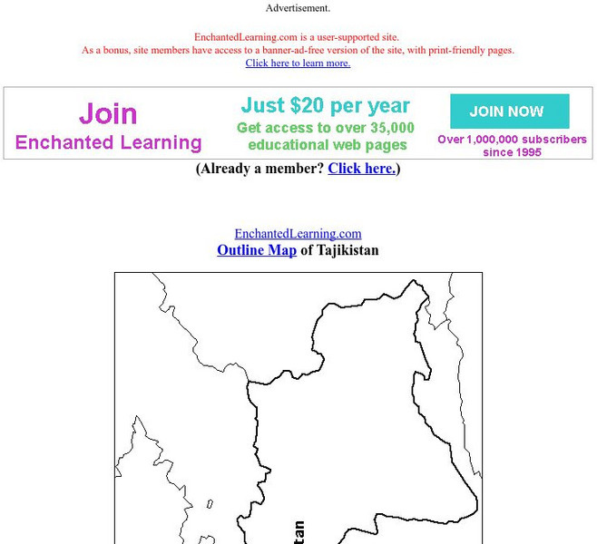
Enchanted Learning: Outline Map of Tajikistan
Practice what you know about Tajikistan's geography by printing out and filling in this outline map.
abcteach
Abcteach: Maps
[Free Registration/Login Required] Find outline maps of the continents and the United States and Canada, as well as other country and city maps.
Enchanted Learning
Enchanted Learning: Outline Map of Kyrgyzstan
This site offers an outline map of Kyrgyzstan to print out.
University of Texas at Austin
University of Texas: Perry Castaneda Library: Colorado Maps
Features a vast collection of a variety of different maps all representing the state of Colorado. View state maps, city maps, historical maps, National Park maps, and more.
Sophia Learning
Sophia: Outlining Plot
This video tutorial focuses on outlining plot; it explains that we outline plot as a way to analyze it; to analyze plot, focus on main events and interaction involving main characters. It offers three methods for outlining plot:...
University of Texas at Austin
Ut Library: Perry Castaneda Maps of Alabama
Here you will find state and city maps (including outline and topographical maps) of Alabama. Also includes historical maps and maps of Alabama's National Parks.
Curated OER
University of Texas: Afghanistan: Small Map
This small map of Afghanistan is easy to read, showing only the major cities, the outline of the country and its neighbors.
Curated OER
University of Texas: Bangladesh: Small Map of Bangladesh
On this small map of Bangladesh, you can clearly see the rivers, major cities, and outline of the country.
Texas State Historical Association
Texas State Historical Association: Texas Geology Map [Pdf]
A black and white outline map that can be colored in, using the key provided, to show the geologic periods in Texas history. A full color map is available in the Texas Almanac, which is free to download from the main website.
Texas State Historical Association
Texas State Historical Association: Texas Rivers Map [Pdf]
A blank outline map showing the major rivers of Texas. A full color, labeled map of these rivers is available in the Texas Almanac, which is free to download from the main website.
Texas State Historical Association
Texas State Historical Association: Texas Counties Map [Pdf]
A blank outline map showing the many counties of Texas. A full color, labeled map of the counties is available in the Texas Almanac, which is free to download from the main website.
Columbia University
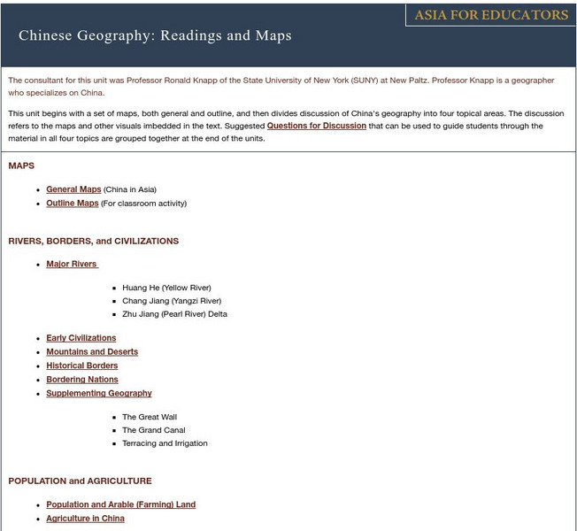
Asia for Educators: Outline Maps
The outline maps are designed to be used as transparencies that can be overlaid on an overhead projector to demonstrate the diversity of China's physical and cultural geography. Copies can be printed out and reproduced also for student...
Science Education Resource Center at Carleton College
Serc: State Map Poster
This is a project where young scholars pick a state, study its landforms and data about its geology, and produce a poster that outlines how the state's geography evolved over time. An example of such a poster is provided on a...
Other
Text2 Mind Map
An online tool for transforming an outline or a structured list into a mind map, which can then be saved and printed out.
University of California
Us Geological Survey: Cartogram Central
The USGS offers detailed information on Types of Cartograms, Congressional Districts, Software for Cartograms, Publications, and a Carto-Gallery.
50 States
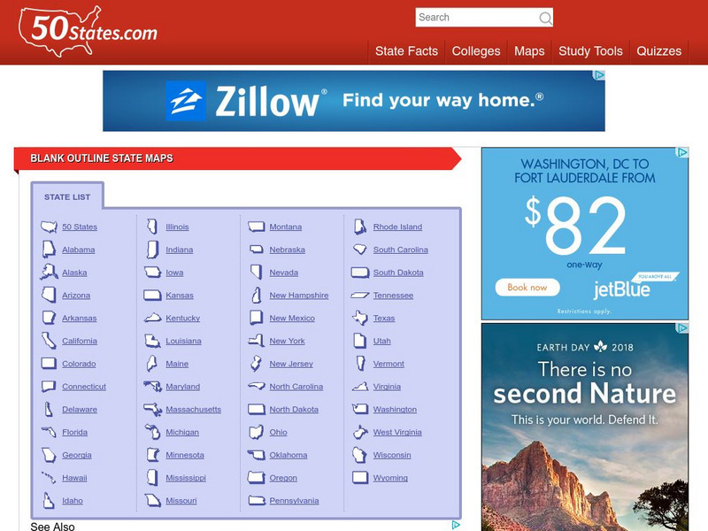
50 States: Blank Outline State Maps
All fifty states are linked here to outline maps of each. Also includes outline map of the United States.
Cool Math
Coolmath: Coolmath Games: Map Snap: Africa
You are presented with an outline map of Africa and you must place each country in its correct position. It clicks into place if you're in the right spot. You may want to start with the practice mode which has the shape outlines of the...
Cool Math
Coolmath: Coolmath Games: Map Snap: Europe
You are presented with an outline map of Europe and you must place each country in its correct position. It clicks into place if you're in the right spot. You may want to start with the practice mode which has the shape outlines of the...
Cool Math
Coolmath: Coolmath Games: Map Snap: Asia
You are presented with an outline map of Asia and you must place each country in its correct position. It clicks into place if you're in the right spot. You may want to start with the practice mode which has the shape outlines of the...
Curated OER
Educational Technology Clearinghouse: Maps Etc: Outline Map of Europe, 5,000 Bce
An outline map of Europe at a time when sea levels were lower than present, with Iceland, the British Isles and Scandinavian Peninsula a part of the mainland, and the Mediterranean, not connected to the Atlantic Ocean, split into two...
Other
Spotsylvania County Schools: Curriculum Maps
This site features an outline of how to implement the use of curriculum maps into a school district curriculum program.
Science Education Resource Center at Carleton College
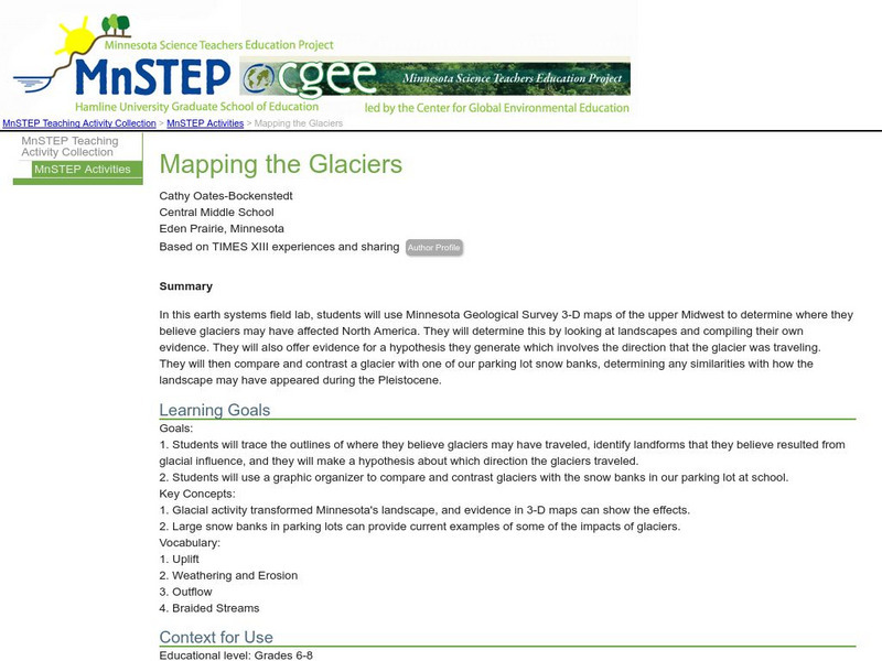
Serc: Mapping the Glaciers
In this activity, learners will use Minnesota Geological Survey 3-D maps of the upper Midwest to trace the outlines of where they believe glaciers may have affected North America. They will identify landforms that resulted from glacial...
Other
Jules Verne Voyager: Gem Global Strain Rate Map
GEM GSRM uses a texture underlay grid showing the 2nd invariant of lithospheric strain rate, with an image overlay of coastal outlines in white - which forces the texture underlay to have a black background in regions of zero strain...
Other popular searches
- Outline Maps of Europe
- Blank Outline Maps
- Us Outline Maps
- World Outline Maps
- Outline Maps of States
- Outline Maps of Wwi
- Outline Maps United States
- Europe Outline Maps
- Belgium Outline Maps
- Kazakhstan Outline Maps
- Outline Maps (Continents)
- Blank Outline Maps Americas
