Curated OER
Washington, D.C. Map
Here is an outline map of Washington, DC. Some of the points of interest in the city are labeled, as are Maryland, Virginia and Arlington. There are plenty of important monuments and locations not identified, making for a good...
abcteach
Abcteach: Maps
[Free Registration/Login Required] Find outline maps of the continents and the United States and Canada, as well as other country and city maps.
University of Texas at Austin
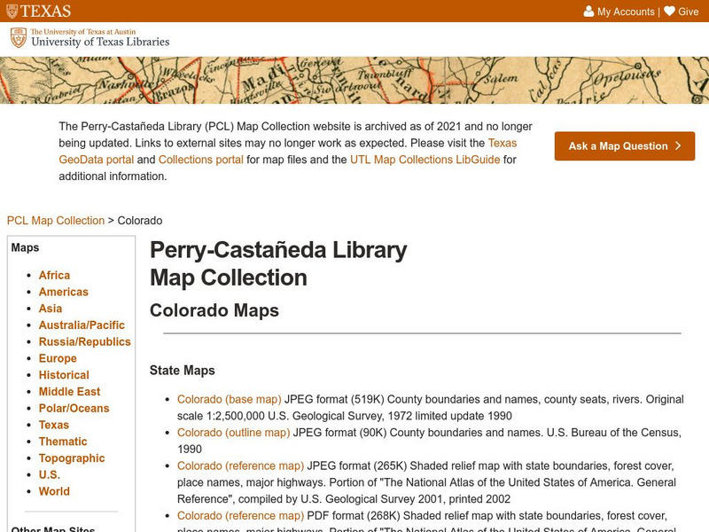
University of Texas: Perry Castaneda Library: Colorado Maps
Features a vast collection of a variety of different maps all representing the state of Colorado. View state maps, city maps, historical maps, National Park maps, and more.
Sophia Learning
Sophia: Outlining Plot
This video tutorial focuses on outlining plot; it explains that we outline plot as a way to analyze it; to analyze plot, focus on main events and interaction involving main characters. It offers three methods for outlining plot:...
University of Texas at Austin
Ut Library: Perry Castaneda Maps of Alabama
Here you will find state and city maps (including outline and topographical maps) of Alabama. Also includes historical maps and maps of Alabama's National Parks.
Curated OER
University of Texas: Afghanistan: Small Map
This small map of Afghanistan is easy to read, showing only the major cities, the outline of the country and its neighbors.
Curated OER
University of Texas: Bangladesh: Small Map of Bangladesh
On this small map of Bangladesh, you can clearly see the rivers, major cities, and outline of the country.
Texas State Historical Association
Texas State Historical Association: Texas Geology Map [Pdf]
A black and white outline map that can be colored in, using the key provided, to show the geologic periods in Texas history. A full color map is available in the Texas Almanac, which is free to download from the main website.
Texas State Historical Association
Texas State Historical Association: Texas Rivers Map [Pdf]
A blank outline map showing the major rivers of Texas. A full color, labeled map of these rivers is available in the Texas Almanac, which is free to download from the main website.
Texas State Historical Association
Texas State Historical Association: Texas Counties Map [Pdf]
A blank outline map showing the many counties of Texas. A full color, labeled map of the counties is available in the Texas Almanac, which is free to download from the main website.
Columbia University
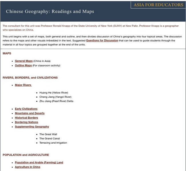
Asia for Educators: Outline Maps
The outline maps are designed to be used as transparencies that can be overlaid on an overhead projector to demonstrate the diversity of China's physical and cultural geography. Copies can be printed out and reproduced also for student...
University of California
Us Geological Survey: Cartogram Central
The USGS offers detailed information on Types of Cartograms, Congressional Districts, Software for Cartograms, Publications, and a Carto-Gallery.
50 States
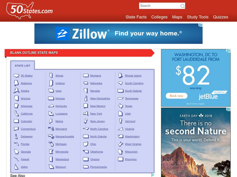
50 States: Blank Outline State Maps
All fifty states are linked here to outline maps of each. Also includes outline map of the United States.
Curated OER
Educational Technology Clearinghouse: Maps Etc: Outline Map of Europe, 5,000 Bce
An outline map of Europe at a time when sea levels were lower than present, with Iceland, the British Isles and Scandinavian Peninsula a part of the mainland, and the Mediterranean, not connected to the Atlantic Ocean, split into two...
Other
Jules Verne Voyager: Gem Global Strain Rate Map
GEM GSRM uses a texture underlay grid showing the 2nd invariant of lithospheric strain rate, with an image overlay of coastal outlines in white - which forces the texture underlay to have a black background in regions of zero strain...
Curated OER
Educational Technology Clearinghouse: Maps Etc: Pre Colonial Africa, 1872
A map of Africa showing the continent prior to the Berlin Conference of 1885, when the most powerful countries in Europe at the time convened to make their territorial claims on Africa and establish their colonial borders at the start of...
Curated OER
Etc: Maps Etc: Physical and Political Map of Africa, 1879
Map of pre-colonial Africa, showing the predominately native countries and territories of the African continent in 1879. The counties include the Barbary States of Morocco, Algeria, Tunis, Tripoli and Fezzan, the Egyptian territories of...
Curated OER
Etc: Maps Etc: European Possessions of Africa, 1906
A map of Africa after the Berlin Conference of 1885, which established the European colonial territory claims on the continent. This map shows the Belgian, British, French, German, Italian, Portuguese, and Spanish claims, and the Turkish...
Curated OER
Etc: Maps Etc: Physical, Political, and Economic Asia, 1872
A map of Asia from 1872, showing physical features including mountain systems, deserts, lakes, rivers with direction of flow, coastal features, and ocean currents, political boundaries and foreign possessions at the time, and commercial...
Curated OER
Educational Technology Clearinghouse: Maps Etc: Colonial Africa, 1899
Map of Africa in 1899 showing the colonial possessions of European powers on the continent established at the Berlin Conference of 1885. This map shows major cities and trade centers, railroad routes and canals, major river systems, and...
Curated OER
Educational Technology Clearinghouse: Maps Etc: Pre Colonial Africa, 1870
A physical and political map of Africa prior to the Berlin Conference of 1885, which established the European colonial territory claims on the continent. This map shows the African states of Morocco, Algiers (Algeria), Tripoli, Egypt,...
Curated OER
Educational Technology Clearinghouse: Maps Etc: Economic Map of Africa, 1915
A map from 1915 of Africa and Madagascar showing the principal economic products of the area. The map is keyed to show areas of production for rubber, gum arabic, dates, cotton, gold, ivory, and cattle breeding. Other products are named...
Curated OER
Educational Technology Clearinghouse: Maps Etc: Natural Regions of Africa, 1920
A map from 1920 of Africa and Madagascar showing principal physical features and natural regions. The map is color-coded to show lowlands, uplands and plateaus, the Kongo basin, the older, worn down mountains, and young, rugged...
Curated OER
Educational Technology Clearinghouse: Maps Etc: Natural Regions of Asia, 1920
A map from 1920 of Asia showing principal physical features and natural regions. The map is color-coded to show lands below sea level, lowlands, uplands and plateaus, the older, worn down mountains, and younger, rugged mountains. The map...
Other popular searches
- Outline Maps of Europe
- Blank Outline Maps
- Us Outline Maps
- World Outline Maps
- Outline Maps of States
- Outline Maps of Wwi
- Outline Maps United States
- Europe Outline Maps
- Belgium Outline Maps
- Kazakhstan Outline Maps
- Outline Maps (Continents)
- Blank Outline Maps Americas


