Hi, what do you want to do?
Khan Academy
Khan Academy: Terracotta Fragments, Lapita People
Archaeologists get very excited when they find pieces of Lapita pottery. Why? Because the sequential depositing of potsherds (fragments of pottery) in an easterly direction across the island groups of the Pacific has become the pivotal...
Michigan State University
Michigan State University: Global Edge: New Zealand: Introduction
Provides statistics, history, politics, and demographics for the island country of New Zealand in the southwestern Pacific Ocean.
Michigan State University
Michigan State University: Global Edge: Vanuatu: Introduction
Discover statistics, history, economy, culture, politics, and demographics for Vanuatu in the Southern Pacific Ocean.
Michigan State University
Michigan State University: Global Edge: Fiji: Introduction
Complete guide to the statistics, history, economy, culture, politics, and demographics for the island of Fiji in Oceania in the South Pacific Ocean.
Countries and Their Cultures
Countries and Their Cultures: Niue
Provides an overview of the culture of Niue, a small island country in the South Pacific Ocean. Gives basic information on topics such as geography, ethnic makeup, languages, symbolism, economy, food, customs, social stratification,...
Michigan State University
Michigan State University: Global Edge: Federated States of Micronesia: Introduction
Complete guide to the statistics, history, economy, culture, politics, and demographics for the Federated States of Micronesia in the western Pacific Ocean.
Michigan State University
Michigan State University: Global Edge: Kiribati: Introduction
Provides statistics, history, politics, and demographics for the island nation of Kiribati located in the Pacific Ocean.
Michigan State University
Michigan State University: Global Edge: Tonga: Introduction
Discover statistics, history, economy, culture, politics, and demographics for the country of Tonga in the South Pacific Ocean.
Nations Online Project
Nations Online: Samoa
Good reference tool that gives you a virtual destination guide, country profile, and background information on the Polynesian islands of Samoa. Also, provides links to sources with comprehensive information on art, culture, people,...
Michigan State University
Michigan State University: Global Edge: Nauru: Introduction
Provides statistics, history, politics, and demographics for the island nation of Nauru.
Blackdog Media
Classic Reader: "A North Pacific Lagoon Island" by Louis Becke
Text of the short story "A North Pacific Lagoon Island" by Louis Becke, an Australian author. (Free site registration offers some additional features, e.g., the ability to insert annotations.)
World InfoZone
World Info Zone: Easter Island Rapa Nui
Gives some basic geographic and historical information on Easter Island located in the South East Pacific. Includes photos.
Wikimedia
Wikipedia: Pacific Ring of Fire
Wikipedia offers information on the location of the Pacific Ring of Fire, an area of frequent earthquakes and volcanic eruptions. Map included.
PBS
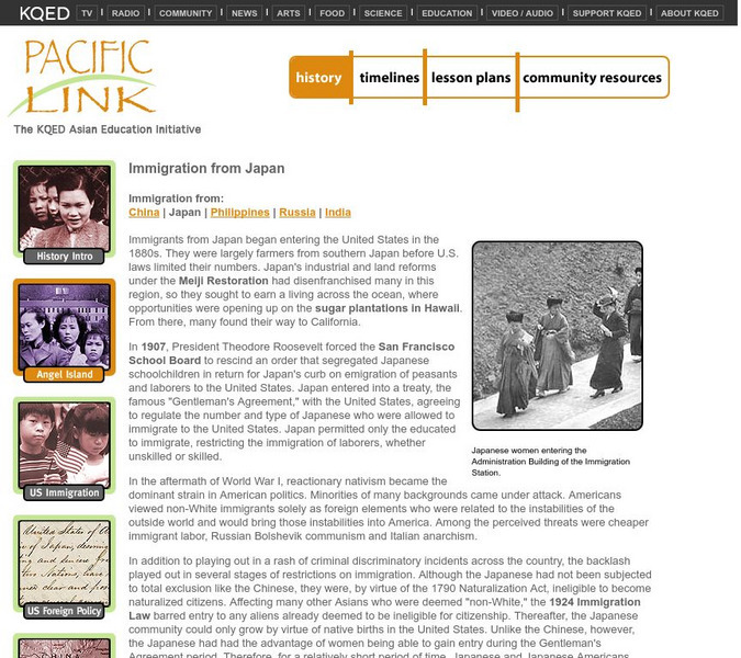
Pacific Link: Immigration From Japan
An article about Japanese migration to the United States, from the 1880s through World War II, including reference to Japanese picture brides and Angel Island.
E-learning for Kids
E Learning for Kids: Science: Easter Island: What Makes Up Our Circulatory System?
Help Atua learn how our blood works, and what our circulatory system has to do with this.
E-learning for Kids
E Learning for Kids: Science: Easter Island: Senses: Observation of Living Familiar Things
Students investigate how the senses are used to make observations about objects and things in the environment.
E-learning for Kids
E Learning for Kids: Science: Easter Island: Why Do Young Grow Up to Look Like Their Parents?
Kevin and his grandfather, Omag are going to the zoo. Join them and learn all about animal classification and life cycles.
Curated OER
Educational Technology Clearinghouse: Maps Etc: Philippine Islands, 1902
A map from 1902 of the Philippine Islands, showing the provinces at the time, major cities and ports, railroads on Luzon, rivers, terrain, and coastal features. The divisions of Luzon are numbered and listed on the map. Inset maps detail...
Curated OER
Educational Technology Clearinghouse: Maps Etc: Philippine Islands, 1899
A map from 1899 of the Philippine Islands. The Philippines at the time of this map had recently been taken as a possession of the United States under the Treaty of Paris at the end of the Spanish-American War (December 10, 1898), and the...
Digital Dialects
Digital Dialects: Niuean Language
An introduction to this Polynesian language particularly spoken among the Niue in the Cooks Islands, New Zealand and Tonga. Start learning common phrases, greetings and simple vocabulary terms. For additional practice play the online games.
Google
Google Maps
Explore the entire world or your local area through Google's maps, Street View photos, satellite images, and in a 360-degree panorama. Take a virtual field trip to an Arctic town or a Pacific island, a famous landmark, a bird sanctuary,...
Curated OER
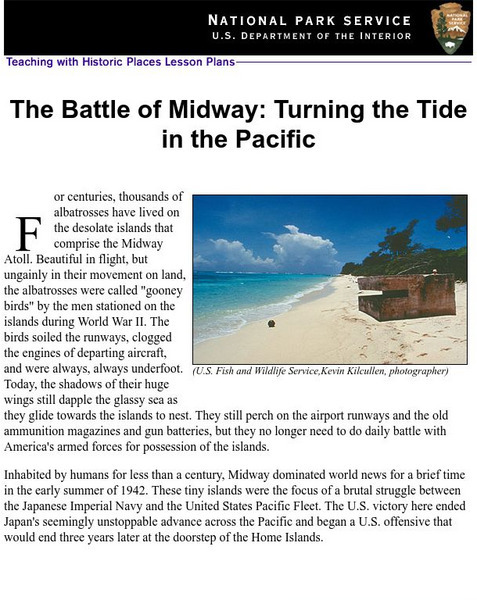
National Park Service: Battle of Midway: Turning the Tide in the Pacific
This Teaching with Historic Places lesson plan examines Midway's strategic importance in World War II.
Curated OER
University of Texas: Vanuatu: Relief Map
A relief map of the several islands that make up the country of Vanuatu. An inset shows the islands in relation to others in the South Pacific. Clicking on the map will enlarge it. From the Perry Castaneda Collection.
Digital History
Digital History: The Decision to Drop the Bomb [Pdf]
The day before the bombing of Pearl Harbor, President Franklin Roosevelt gave the go-ahead to scientists to develop an atomic bomb. This site gives a good overview of the war in the Pacific against Japan, the increasing successes of the...
Other popular searches
- Asia & Pacific Islands
- South Pacific Islands
- Pacific Islands New Zealand
- Pacific Islands Art
- Pacific Islands Music
- Imperialism Pacific Islands
- Cultures Pacific Islands
- Mythology Pacific Islands
- Pacific Islands New Zeal And
- Pacific Islands Geography


