Other
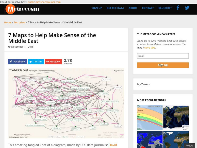
Metrocosm: 7 Maps to Help Make Sense of the Middle East
Keep up to date with the everchanging Middle East Region. The Middle East has been a tangled web of alliances since WWI. These maps attempt to make sense out of the this often confusing area. The 7 maps show the relationships among...
Harry S. Truman Library and Museum
Harry S. Truman Library and Museum: Un Resolution 181: 1947 Partition
The map shows the partition of Israel according to UN Resolution 181 in 1947.
University of Texas at Austin
Map of the West Bank
A colorful political map of the West Bank of the Jordan River. Shows shrines, mines, antiquities sites, bordering countries, Israeli civilian and military areas,roads, and razed villages. Map reflects the territory in 1992.
Other
Le Monde Diplomatique: The First Arab Israeli War (1948 1949)
This site provides maps of the attacks and counter-attacks during the First Arab-Israeli War.


