Weebly
Ancient China
From China's physical geography and earliest beginnings of civilization to the Qin and Han dynasties, here is a nicely designed worksheet on ancient China, which includes a graphic organizer and timeline to summarize the reading...
Teach Engineering
Where Are the Plastics Near Me? (Mapping the Data)
The last activity in a nine-part series has teams create a Google Earth map using the data they collected during a field trip. Using the map, groups analyze the results and make adjustments to the map to reflect their analysis. A short...
Johns Hopkins University
John Hopkins University: Color Landform Atlas of the u.s.
This site from John Hopkins University provides detailed maps of and physical information on each of the 50 states. Maps range from relief maps to satellite images, to historical maps.
Encyclopedia Britannica
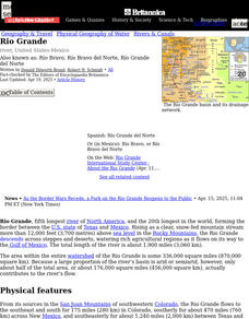
Encyclopedia Britannica: The Rio Grande
This entry provides a description of the physical features, the economy surrounding and the study and exploration of the Rio Grande river.


