Hi, what do you want to do?
PBS
The Planets of the Solar System
Launch a lesson that's sure to capture middle schoolers' interest! Exploration enthusiasts examine the planets of our solar system using an activity from PBS's Space series. The resource includes images and information for each planet,...
J. Paul Getty Trust
J. Paul Getty Museum: Christ's Entry Into Brussels in 1889
Displays and explains James Ensor's painting, Christ's Entry into Brussels in 1889. Also gives the history of the painting. Accompanied by its provenance, exhibitions it was in, a bibliography, a lesson plan for K-2, and audio recordings...
Daily Teaching Tools
Daily Teaching Tools: Free Graphic Organizers for Planning and Writing
This Daily Teaching Tools resource provides 30+ graphic organizers to aid in planning and writing. Students will be able to write informational pieces and literary responses.
Columbia University
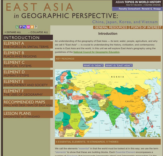
Columbia University: Asia for Educators: East Asia in Geographic Perspective
This teacher resource is devoted to teaching about the geographic history of East Asia. Includes standards information and links to related lesson plans. Also features a downloadable world map (PDF, requires Adobe Reader).
Sophia Learning
Sophia: Planning Your Answer
In this slide show tutorial, students will review how to approach answering short answer and extended response essay questions. Marking strategies examples are included.
Sophia Learning
Sophia: Planning Your Answer
In this slide show tutorial, students will review how to approach answering short answer and extended response essay questions. Marking strategies examples are included.
Andre Dollinger
Reshafim: Housing in a Workers' Village: Deir El Medine
Find out about the village built for the craftsmen who built the monuments in the Valley of the Kings. See a floor plan and read about the building techniques. Hyperlinks for more information and links to other websites for additional...
International Institute of Social History
International Institute of Social History: Do a Good Job in Family Planning to P
From the International Institute of Social History this is "Do a good job in family planning to promote economic development" a Chinese political propaganda poster by Zhang Zhenhua, 1986.
American-Israeli Cooperative Enterprise
Jewish Virtual Library: Un Partition Plan, September 1947
This authentic UN map depicts the political lines to be drawn to partition Palestine as established in 1947.
Curated OER
Unesco: Switzerland: La Chaux De Fonds / Le Locle, Watchmaking Town Planning
The site of La Chaux-de-Fonds / Le Locle watchmaking town-planning consists of two towns situated close to one another in a remote environment in the Swiss Jura mountains, on land ill-suited to farming. Their planning and buildings...
Google
Google Maps
Explore the entire world or your local area through Google's maps, Street View photos, satellite images, and in a 360-degree panorama. Take a virtual field trip to an Arctic town or a Pacific island, a famous landmark, a bird sanctuary,...
BBC
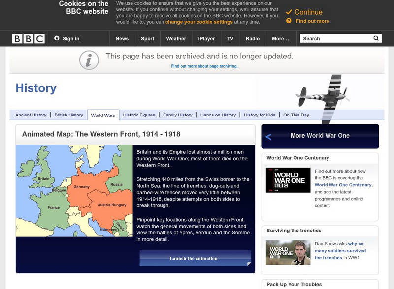
Bbc History: World Wars: World War One: Animated Map: Western Front, 1914 18
Animated map of the war's western front shows the attacks, counterattacks, and shifts in military strategy that took place along this line of battle over the full course of the World War One.
Sophia Learning
Sophia: Analyzing Shakespeare
This tutorial focuses on analyzing Shakespeare's works using "Midsummer Nights Dream" in the form of a downloadable PowerPoint presentation. It also provides "Tools for Analysis of Tragedy and Tragic Action" and a YouTube video...
Curated OER
Klass Kids Foundation: Amber Plan
This site explores the Amber Plan by state. Learn what the Amber plan is, how the plan works, and what the initial criteria are to put the plan in action. Content also includes a state-by-state analysis of the Amber plan in each area.
The National Gallery (UK)
National Gallery, London: Ite About 'And When Did You Last See Your Father?'
Discover this painting by William Frederick Yeames. It has a unique narrative about the English Civil War. Also included is a special feature that allows you to get a zoomed in look at the painting. There is also a lesson plan in which...
Curated OER
Etc: Maps Etc: Plan of the City of Washington, March 1792
A plan of the city of Washington from 1790. The lat/long figures on the map shows a longitude of 0 degrees 0 based on the Washington Prime Meridian passing through the Capitol. "This city was laid out by Peter Charles L'Enfant, who...
Curated OER
Etc: Maps Etc: Plan of the Movements at Concord, 1775
A plan of the Battle of Concord, Massachusetts, at the opening of the American Revolutionary War (April 19, 1775). Explanation of the Plan: (1) Lexington Road; (2) Hills and high land where the liberty pole stood; (3) center of the town,...
Curated OER
Etc: Plan of the Temple of Edfu, 2134 1999 Bc
This is a plan of the Temple of Edfu in Egypt.
Curated OER
Educational Technology Clearinghouse: Maps Etc: Plan of Nice, 1903
Plan of Nice, France in 1903 showing roads, railways, waterways, and landmarks.
Curated OER
Educational Technology Clearinghouse: Maps Etc: Plan of Munich, 1903
A plan of the city of Munich, Germany in 1903 showing the layout of the streets and the location of some important features. Some of the features included are the Infantry Barracks, the Northern Cemetery, the Botanic Gardens, Englischer...
Curated OER
Etc: Maps Etc: Plan of Cathedral at Aix La Chapelle, Ad 796
This is the Plan of Cathedral at Aix-la-Chapelle in Aachen, Germany.
Curated OER
Etc: Maps Etc: Plan of Ancient Athens, Ancient Athens
A map showing the plan of ancient Athens, according to that given in Barthelemy's Anacharsis. The map shows historic landmarks, including the Parthenon (1), Propylaea (2), Theater of Bacchus (3), Odeum (4), Prytaneum (5), Areopagus (6),...
Curated OER
Etc: Plan of the Hall of Xerxes, 485 465 Bc
This is a plan of the Hall of Xerxes in Persepolis, near Shiraz, Iran. This is the plan of he palace according to Mr. Weld Blundell. This is an example of Persian architecture. The scale is in feet.
Curated OER
Educational Technology Clearinghouse: Maps Etc: Plan of Syracuse, 415 413 b.c.
A plan of the Greek colony of Syracuse during the years 415 to 413 BC, at the siege of Syracuse in the Peloponnesian War. The map shows Athenian naval camp (a), the Athenian fort (b), the height at the rear of the Athenian line (c), the...
Other popular searches
- Planning in Higher Education
- Integrated Planning Matrix
- Garden Planning in Fall
- Family Planning in India
- Family Planning in China
- Indian Planning Co Mission


