Hi, what do you want to do?
ClassFlow
Class Flow: Plate Tectonics Intro
[Free Registration/Login Required] This flipchart will take several class periods. This lesson begins to look at how the different landforms are created. There will be two follow up lessons - one on volcanoes and one on mountains.
ClassFlow
Class Flow: Plate Tectonics Volcano
[Free Registration/Login Required] This lesson will take several class periods. This lesson begins to look at how volcanoes are created.
Curated OER
Plate Boundaries/plate Tectonics
Visit this site to learn more about the different types of plate boundaries. Includes color pictures and easy-to-understand examples of how and why plates move the way they do.
Other
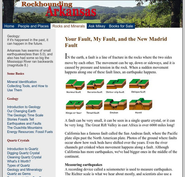
Rockhounding Arkansas: Your Fault, My Fault, and the New Madrid Fault
Text and diagrams regarding tectonic forces, the new Madrid Fault, and earthquakes.
Scholastic
Scholastic News: Found: A Missing Tectonic Plate
Scientists recently discovered a missing tectonic plate known as the Farallon plate beneath California. This article explains what the Farallon plate is, as well as the significance of its discovery.
American Geosciences Institute
American Geosciences Institute: Earth Science Week: Mapping Quake Risk
Students use GIS to observe worldwide patterns of earthquakes and volcanoes and analyze the relationships of those patterns to tectonic plate boundaries. Then they identify cities at risk.
Science Education Resource Center at Carleton College
Serc: Hotspot Lesson: Final Project
Student groups work on a assigned hotspot chain in this culminating assignment for a series of activities about hotspots and plate motions. Each group gets to study a seamount trail from around the world and presents their findings to...
Science Education Resource Center at Carleton College
Serc: Hotspot Lesson: Samoan Hotspot
Using the Hotspot Theory and Plate Velocities, students make comparisons between Hawaii and Samoa in an attempt to determine the volcanic origin of Samoa.
PBS
Pbs Teachers: Deadly Shadow of Vesuvius
Observe the relationship among volcanoes, earthquakes and lithospheric plates by collecting data and creating maps. This activity was created to be used with the NOVA program, "Deadly Shadow of Vesuvius" but the video is not necessary...
University of Washington
University of Washington: Mountain Building
A detailed description of tectonic plate collisions. There are illustrations of Indian and Eurasian plate collision.
Other
Paleomap Project
Virtual reality animation map showing continental drift from 200mya to the present. The animation map is small but effective in showing the positions of the land masses.
Math Science Nucleus
I. Science Ma Te: Integrating Science, Math and Technology
This site offers a wealth of online textbook-related materials that encourage the discovery of science in the world around us. Enter the site to access material on specific topics. Each section contains reading material (complete with...
Annenberg Foundation
Annenberg Learner: Dynamic Earth Interactive
Delve into the structure of the Earth to learn what causes earthquakes, volcanoes, and more.
Geography 4 kids
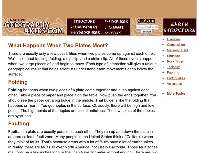
Geography4 kids.com: What Happens When Two Plates Meet?
Different events occur when two parts of the earth shift. Highlighted in this resource are details of faults, dips, slips, folds, and strike slips.
Sophia Learning
Sophia: Earth Sciences: Move Mountains
Created to teach students of the 21st century, SOPHIA is bringing the science experiements straight to your fingertips. Learn about tectonic plates will Bill Nye as you take part in this interactive lesson and help make learning permanent!
American Geosciences Institute
American Geosciences Institute: Earth Science Week: A Model of Three Faults
In this instructional activity, young scholars learn about the different kinds of faults and plate boundaries and where they can be found. They research and report on the faults that are present in their state. They are also asked to...
Exploratorium
Exploratorium: On the Road With the Faultline Project
This outstanding multimedia website follows the San Andreas fault system up the California coast from San Diego to just north of San Francisco on the coast.
Exploratorium
Exploratorium: Earthquake Faultline Earthquake Activities
This outstanding website provides an excellent variety of hands-on earthquake activities to help you understand what causes earthquakes.
Exploratorium
Exploratorium: Loma Prieta, Bay Area, Earthquake 1989
This outstanding multimedia site documents the earthquake and related events that took place on October 17, 1989 in the San Francisco Bay Area.
Other
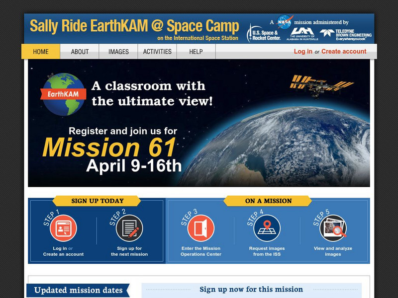
Nasa: Iss Earth Kam
Students get a whole new perspective of the world through images obtained from the International Space Station. Students can even request images to be taken through ISS EarthKAM. Activities and educator guides are provided.
National Geographic
National Geographic: Encyclopedia: Mantle
An in-depth look at the structure and composition of Earth's mantle, with lots of visuals. Covers lithosphere, Mohorovicic discontinuity, asthenosphere, transition zone, lower mantle, the d double-prime region, mantle convection, mantle...
NASA
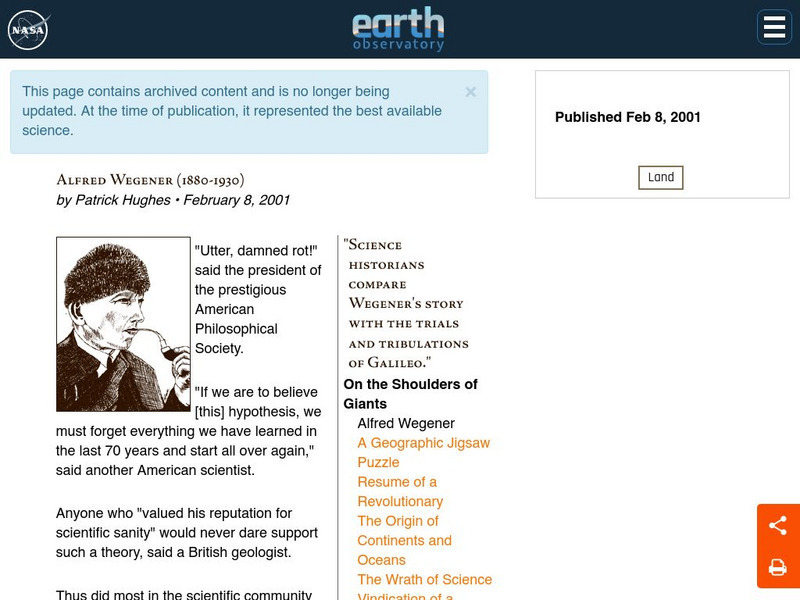
Nasa: Alfred Wegener
An excellent biography of Wegener that includes his breakthrough work and the storm of controversy it created. Finally, Alfred Wegener has gotten the praise and recognition he deserved.
University of California
University of California: Understanding Earthquakes
This website is a resource for learning about earthquakes. Java animation at this site helps you visually understand the causes of earthquakes.
Annenberg Foundation
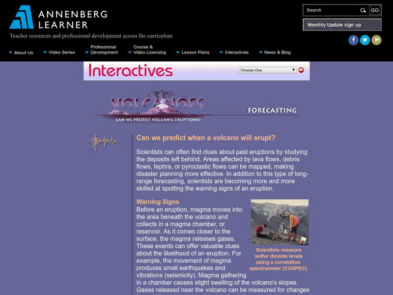
Annenberg Learner: Volcanoes: Forecasting Eruptions
A look at some of the methods and problems with forecasting volcanic eruptions.
Other popular searches
- Plate Tectonics Activities
- Plate Tectonics Pangaea
- Plate Tectonic Demonstration
- Science Plate Tectonics
- Lessons on Plate Tectonics
- Theory of Plate Tectonics
- Plate Tectonics Lab Activity
- Modeling Plate Tectonics
- Evidence for Plate Tectonics
- Plate Tectonics Theory
- Plate Tectonics Word Search
- Tectonic Plate Boundaries


