Other
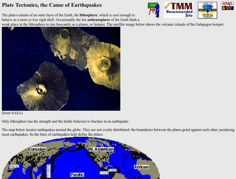
Nevada Seismological Laboratory: Plate Tectonics, the Cause of Earthquakes
This site contains an in-depth explanation of the causes of earthquakes as they relate to plate tectonics, and also has many nice and easy to read pictures, maps, and diagrams of plate tectonics and earthquakes.
NASA
Nasa: Slr and Gps (And Plate Tectonics and Earthquakes) [Pdf]
This slideshow explains how satellites are used to measure the movement of tectonic plates.
US Geological Survey
Usgs: Plate Tectonics, Hot Spots, and Ring of Fire: World Map
A world map featuring active volcanoes, plate tectonics, hot spots, and ring of fire.
University of California
Ucmp: Plate Tectonics
Provides hyperlinks to the history behind and the mechanisms driving plate tectonics. Be sure to click on the globe icons for animations of plate tectonics.
Other
Plate Tectonic Theory [Pdf]
Check out this slideshow on Plate Tectonics-The unifying theory for all other theories in the Earth sciences-Has resulted in a more detailed understanding of Earth history-Has enabled geologists to more precisely(and cheaply) discover...
Oregon State University
Osu: Volcano World: Spreading Plate Boundaries
This page has pictures and descriptions of different areas on Earth where the plates are spreading. Also includes links to more information on slow, medium, and fast moving plates.
Northwestern University
Northwestern University: Measuring Plate Motions [Pdf]
This slideshow gives an advanced-level explanation of how to calculate the distance that tectonic plates move by using Physics formulas and concepts. Includes a discussion of marine magnetic anomalies and how these impact plate movement....
Other
New Mexico State University: Metamorphism and Metamorphic Rocks [Pdf]
A PowerPoint slideshow converted to a PDF, with six slides per page. It explains what metamorphism is, the distribution of metamorphic rocks, the agents of metamorphism, the types of metamorphism, metamorphic grades or degrees, how...
University of California
Tectonic Plates
Get an overview of all the tectonic plates that make up the earth's crust. The colorful contrasting and labeled plate boundaries make this an excellent resource.
Curated OER
Plate Boundaries/plate Tectonics
Visit this site to learn more about the different types of plate boundaries. Includes color pictures and easy-to-understand examples of how and why plates move the way they do.
Curated OER
Extreme Science: A Lesson in Plate Tectonics
With its clickable map, this site provides text and graphics on spreading boundary, converging boundary, subduction zone, transverse boundaries and faults.
Curated OER
Merriam Webster: Visual Dictionary Online: Tectonic Plates
Labeled map showing locations of world's tectonic plates.
Other
Earth History: The Paleomap Project
The Paleomap Project illustrates the plate tectonic development of the ocean basins and continents, as well as the changing distribution of land and sea during the past 1,100 million years.
University of California
University of California Museum of Paleontology: Distribution in Time and Space
The Understanding Evolution site provides evidence for evolution in biogeography utilizing relative dating, geography, and plate tectonics.
Khan Academy
Khan Academy: Gallery: How Do Earth and Life Interact?
Explore the biosphere, zoom in on some unique ecosystems, and learn how activity in the Solar System and plate tectonics can affect the climate and life on the planet.
Other
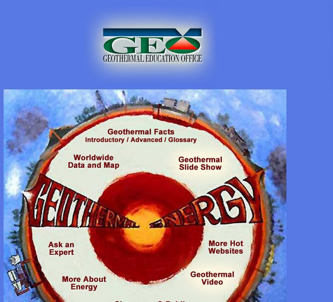
Geothermal Education Office
This resource for geothermal energy education features a slide show with instructive graphics.
Curated OER
Hartao: An Introduction to Plate Tectonics
Introduces South African Alexander Toit as naming Gondwanaland and Laurasia.
Other
Everytrail: Trail Map of San Andreas Fault Trail Exploration
Use this map on the San Andreas Fault by following lines of posts that mark the various fault breaks in the Los Trancos Open Space Preserve. The trail takes hikers to see some of the effects of earthquakes in this otherwise tranquil...
Incorporated Research Institutions for Seismology
Iris: Seismic Tomography [Pdf]
Learn how seismic tomography imaging helps scientists understand the formation of the Earth's interior.
Curated OER
Geo Net Internet Geography
This site provides a detailed overview of all forms of geography. Learn about earthquakes, ecosystems, plate tectonics, rivers, national parks, and more.
PBS
Wnet: Thirteen: Savage Earth: Waves of Destruction, a Tsunami Animation
View a brief animation that explains the science behind a tsunami.
Curated OER
Unesco: Australia: Macquarie Island
Macquarie Island (34 km long x 5 km wide) is an oceanic island in the Southern Ocean, lying 1,500 km south-east of Tasmania and approximately halfway between Australia and the Antarctic continent. The island is the exposed crest of the...
Other popular searches
- Plate Tectonics Activities
- Plate Tectonics Pangaea
- Science Plate Tectonics
- Lessons on Plate Tectonics
- Theory of Plate Tectonics
- Plate Tectonics Lab Activity
- Modeling Plate Tectonics
- Evidence for Plate Tectonics
- Plate Tectonics Theory
- Plate Tectonics Word Search
- Plate Tectonics and Tsunamis
- Plate Tectonics Pangaea Map

![Nasa: Slr and Gps (And Plate Tectonics and Earthquakes) [Pdf] PPT Nasa: Slr and Gps (And Plate Tectonics and Earthquakes) [Pdf] PPT](https://d15y2dacu3jp90.cloudfront.net/images/attachment_defaults/resource/large/FPO-knovation.png)


