Curated OER
Earthquakes: Learn From the Past, Prepare for the Future
Students examine the destruction caused by earthquakes. In this community safety lesson, students examine the risk involved in living in an earthquake zone and how to prepare for future earthquakes.
Curated OER
Tectonic Plates, Earthquakes, and Volcanoes
Challenge geography classes to locate the major volcanoes and earthquake faults on a world map. In groups, they identify the pattern made and examine the relationship between the locations of the faults and volcanoes and tectonic plates....
Curated OER
Did You Feel That? Earthquake Data Chart
Young scholars plot earthquakes on the world map using coordinates of longitude and latitude. They designate the earthquakes magnitude with a symbol which they include in the map key.
Curated OER
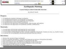
Earthquake Plotting
Learners become familiar with map coordinates. They establish the frequency of earthquake occurrences and study the location and magnitude of earthquakes. To establish the location of plate boundaries.
Curated OER
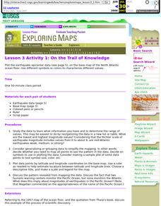
Lesson 3 Activity 1: On the Trail of Knowledge
Students plot the earthquake epicenter data on the base map of the North Atlantic ocean floor using different symbols or colors to characterize different values.
Curated OER
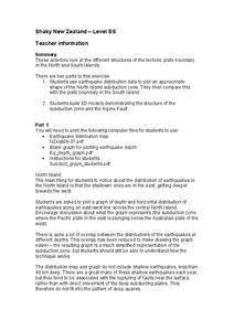
Shaky New Zealand
Students explore Earth science by building a model in class. In this tectonic plate lesson, students identify the impact tectonic shifts have on humans and animals and where the plates and faults lie under New Zealand. Students examine...
Curated OER
The Tell-Tale Plume
Students examine hydrothermal vents. In this ocean lesson, students identify changes in physical and chemical properties of sea water caused by hydrothermal vents.
Curated OER
Geography and Architecture
Pupils discuss how terrain and climate affect the design of houses and commercial structures and thus influence the way architects design buildings in this elementary lesson plan.
Curated OER
States with Attitude, Latitude and Longitude Dude
Sixth graders identify states whose boundaries are formed by lines of latitude and longitude or natural borders such as rivers. They trace a map of the U.S., and fill in borders, rivers and lines of latitude and longitude.


