Curated OER
Mystery State #40
In this mystery state instructional activity, students answer clues arranged from difficult to easy to identify the state, then locate it on a map.
Curated OER
New England News: All You Need to Know About the New England Colonies
Students explore the New England colonies inj this five lessons unit. The colonies of plymouth Rock, Massachusetts, Rhode Island, New Hampshire, and Connecticut are highlighted through a variety of techniques.
Curated OER
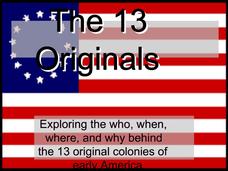
The 13 Originals: Exploring the Who, When, Where, and Why Behind the 13 Original Colonies of Early America
Discover the stories behind each of the thirteen stripes on the American flag with this straightforward presentation. Complete with learning objectives, discussion questions, and solid information about each of the original thirteen...
Curated OER
Colonial Founders
Who were the founding fathers of the American Colonies? Engage in online activities, Internet research, and focused writing to find out. Students choose one colonial founder, conduct biographical research on the person, and take a quiz...
Curated OER
Pilgrim Immigration Lesson Plans: Then and Now
Pilgrim immigration lesson plans offer more than a study of these early settlers. It gives students an insight into modern immigration.
Curated OER
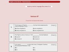
General Knowledge of American History #67
In this general knowledge of American history #67 worksheet, 6th graders interactively answer 10 multiple choice questions with immediate online feedback.
Curated OER
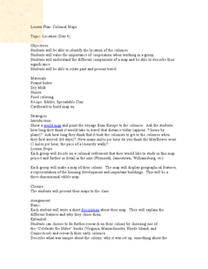
Colonial Maps
Students discover the history of America by identifying the traditional colonies. In this U.S. history lesson, students examine a world map and identify where the voyagers left from Europe to arrive at the United States. ...
Curated OER
Educational Technology Clearinghouse: Maps Etc: Pequod (Pequot) War, 1636 1638
A map of southern Connecticut and Rhode Island showing the area of the Pequot War (1636-1638) between the allied Massachusetts and Plymouth colonies against the Pequot tribe. The map shows the territories of the Mohegans, Narragansetts,...
Curated OER
Educational Technology Clearinghouse: Maps Etc: New England Grants, 1643 1684
A map of the Massachusetts Bay Colony and New England Confederation (1643-1684) showing the grants of the area, and is keyed to show: (1) the Plymouth Colony (1620), (2) Massachusetts, (3) Massachusetts Bay, (4) Maine, (5) New Hampshire,...
Curated OER
Etc: New England Colonies, 1620 1638
A map of the New England colonies showing the early permanent Pilgrim settlements and their dates of establishment, including Plymouth (1620), Little Harbor, New Hampshire (1623), Pemaquid, Maine (1625), Salem, Massachusetts (1628),...


