Lizard Point Quizzes
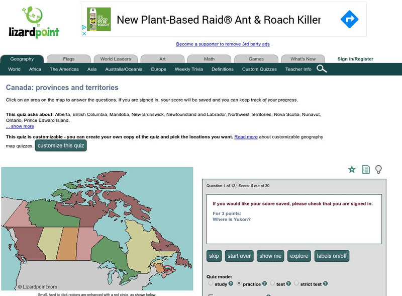
Lizard Point: Test Your Geography Knowledge Canada
Use this site to test your students, and your knowledge regarding the location of the provinces and territories of Canada.
Curated OER
Political Map of Canada
An index of maps of Canada including physical, political, and outline.
Latimer Clarke Corporation
Atlapedia Online: Canada
If you're doing a research paper on Canada, this is a great place to begin. Has information about the history, people, geography, climate, economy, and more. Click on the map image to get more details and an enlarged view.
Curated OER
Cbc News Interactive: Women in Politics
Peruse this interactive by CBC News to learn how Canada compares to the top ten countries and the G8 in terms of representation of women in government.
Curated OER
Physical Map of Canada
An index of maps of Canada including physical, political, and outline.
Curated OER
Etc: Maps Etc: Dominion of Canada, Newfoundland, and Greenland, 1916
A map from 1916 of the Dominion of Canada, Newfoundland (Newfoundland and Labrador were not part of the Canadian Confederation until 1949), Greenland, and Iceland. This map uses color-contouring to show general land elevations from sea...
Curated OER
Etc: Maps Etc: British Provinces in Eastern Canada, 1872
A map from 1872 of the eastern British provinces in Canada at the time. The map shows the eastern portion of Ontario, southern portion of Quebec, New Brunswick, Prince Edward Island, Nova Scotia, and an inset map of Newfoundland. The map...
Curated OER
Etc: Maps Etc: Eastern Canada and Newfoundland, 1883
A map from 1883 of the eastern part of Canada showing the political boundaries at the time, the capital and provincial capitals, major cities and towns, railways, mountains, lakes, rivers, coastal features, and islands. The territories...
Curated OER
Etc: N America Illustrating the Conquest of Canada and War of Indep, 1757 1783
A map of eastern North America illustrating the Conquest of Canada and the War of Independence (1757-1783). The map shows major cities of the time, major river ways, topography and political boundaries. The map is color-coded to show the...
Curated OER
Etc: Maps Etc: Mexico, Central America, and the West Indies, 1906
A map from 1906 of Mexico, Central America, and the West Indies showing the political boundaries at the time, capitals and major cities, mountain systems, coastal features, and islands of the region. An inset map shows the entire North...
Curated OER
Educational Technology Clearinghouse: Maps Etc: North America, 1882
A map from 1882 of North America, Central America, and the Caribbean, showing political boundaries at the time, major cities, mountain systems, lakes, rivers, and coastal features of the region. The map is color-coded to show general...
Curated OER
Etc: Maps Etc: The Surface of North America, 1912
A base relief map from 1912 of North America, Central America, Greenland, and the Caribbean to Puerto Rico showing the general surface terrain, including mountain systems, highlands, plains, and major river systems of the region....


