Hi, what do you want to do?
Other
Ohio Wesleyan University: World Political Boundaries
This site has a photograph of a detailed, colorful map of political boundaries around the world with a zoom feature for a closer look. A brief description of how economic boundaries relate to political ones.
Latimer Clarke Corporation
Altapedia Online: World Map Resources
Features downloadable World Political and Physical Maps that include country names, country borders, ocean features, island names, and lat/long graticules. Clicking on any part of the map enlarges it.
Curated OER
Etc: Comparative Projections of Asia, 1800 1899
A map using comparative map projections of Asia, as part of a hemisphere and on a Mercator's projection, to illustrate European misconceptions of land claims during territorial colonialism. In the 19th century, European powers were...
Central Intelligence Agency
Cia: World Factbook: Austria
See a map of Austria and read about the country's geography, government. people, economy and more.
Central Intelligence Agency
Cia: World Factbook: Russia
This resource from the CIA World Factbook provides a detailed fact sheet of Russia. The content covers the country's geography, people, government, economy, communications, transportation, military, and transnational issues. It includes...
Latimer Clarke Corporation
Atlapedia Online
This site provides both physical and political maps of countries of the world in full color. Also contains key facts and statistics.
Other
World Statesman: Peru
This site is a complete encyclopedia of Peruvian leaders, beginning with the arrival of the Spanish conquistadors. Also provides detailed chronologies, flags, national anthems, maps and indexes.
Other
Metrocosm: A Tangled Web of Alliances
Jefferson and Washington warned future Americans about entangling our country in too many alliances. Since WWII, we have largely ignored this advice. View our defense pacts, along with the rest of the world, on this map that resembles a...
PBS
Pbs: American Experience: Vietnam From 1945 to Postwar
In 1954, a peace conference in Geneva temporarily divided Vietnam in two: a pro-communist North and an anti-communist South. The political factions in North and South Vietnam -- supported by their communist and capitalist allies in the...
BBC
Bbc: News: Country Profile: Japan
The BBC provides a general overview of the country of Japan. Content includes a focus on Japan's recent history, leaders and media. There is also a timeline of key events in Japanese history.
BBC
Bbc: News: Country Profile: Maldives
BBC News offers a general overview of the South Asia islands of Maldives. Focus is on history, country facts, political leaders, and news media. Provides access to a timeline of key events, recent news articles, and related internet...
BBC
Bbc: News: Country Profile: Bahrain
BBC News offers a general overview of the Middle Eastern country of Bahrain. Focus is on history, country facts, political leaders, and news media. Provides links to a timeline of key events, recent news articles, and related internet...
BBC
Bbc: News: Country Profile: Bhutan
BBC News features a general overview of the tiny South Asian kingdom of Bhutan. Focus is on history, country facts, political leaders, and news media. Provides access to a timeline of key events, recent news articles, and related...
Curated OER
Map of Greenland
BBC News offers a general overview of Greenland, the world's largest island. Focus is on history, country facts, political leaders, and news media. Provides links to a timeline of key events, recent news articles, and related internet...
Central Intelligence Agency
Cia: World Factbook: Angola
This resource from the CIA World Factbook provides a description of Angola's location, people, political information, and economy, including summary statistics. It includes a map and flag.
Curated OER
Etc: Maps Etc: Physical, Political, and Economic Asia, 1872
A map of Asia from 1872, showing physical features including mountain systems, deserts, lakes, rivers with direction of flow, coastal features, and ocean currents, political boundaries and foreign possessions at the time, and commercial...
Curated OER
Educational Technology Clearinghouse: Maps Etc: South America, 1906
A map of South America from 1906 showing the political boundaries of the time. The map shows capitals, major cities, ports, rivers, terrain and coastal features. An outline map of Pennsylvania at the same map scale is included to show...
Curated OER
Educational Technology Clearinghouse: Maps Etc: South America, 1921
A map from 1921 of South America showing the political boundaries of the time, major cities, railroads, terrain, rivers, and coastal features, and includes an insert map of the Galapagos Islands. " South America, the fourth largest grand...
BBC
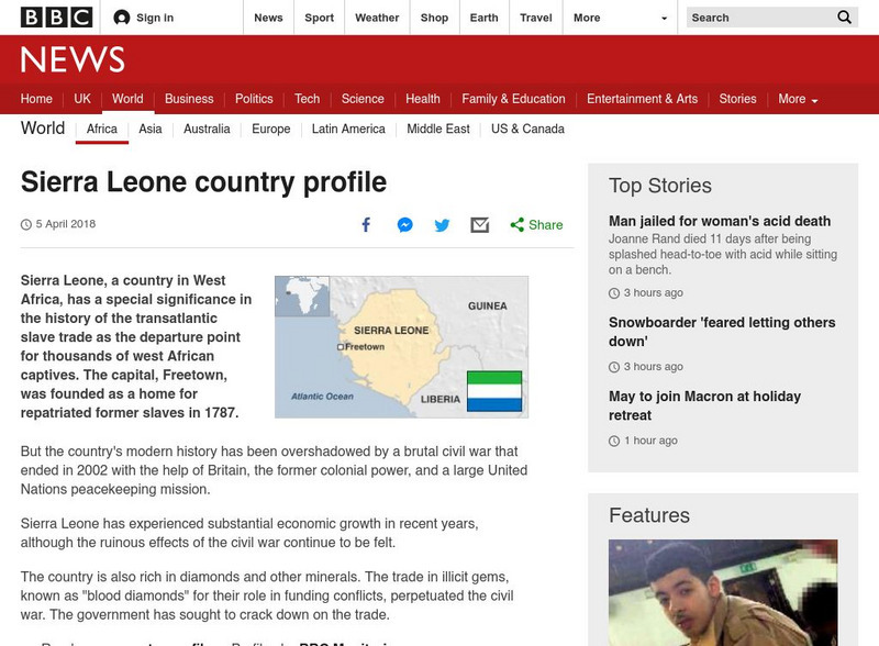
Bbc News: Sierra Leone
A profile of the African country of Sierra Leone. Topics include the usual country 'fast facts', plus history, political leaders, as well as a map of Sierra Leone. Links to related topics are included throughout the site.
Annenberg Foundation
Annenberg Learner: Dagestan Timeline
A timeline using historical maps shows the confluence of Islam and Russian rule in the area known as Dagestan. Follow the development of Islamic political entities in the area of present-day Dagestan.
Curated OER
Burma Political Map
An easy to read political map of Burma. Be sure to scroll down to see a satellite image of Burma from Google Earth. You can also find some facts about Burma at the bottom of the page.
Curated OER
Cbc News Interactive: Women in Politics
Peruse this interactive by CBC News to learn how Canada compares to the top ten countries and the G8 in terms of representation of women in government.
Curated OER
Geology.com: Madagascar Map Madagascar Satellite Image
Check out this great satellite image of Madagascar from Google Earth. Scroll past the informative political map to see the image. There is more information about the country below the satellite map.
Virginia History Series
Virginia History Series: Virginia State History Wwii Era (1940 1948) [Pdf]
WWII awakened a massive development in Virginia from manufacturing to naval bases. Follow the course of the war through pictures, maps, charts and political cartoons. Visualize life in America and abroad during the war.


