Hi, what do you want to do?
Smithsonian Institution
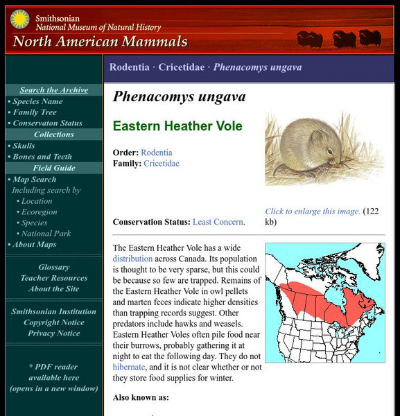
National Museum of Natural History: American Mammals: Eastern Heather Vole
The Eastern Heather Vole has a wide distribution across Canada. Its population is thought to be very sparse, but this could be because so few are trapped. Learn more about the Phenacomys ungava, more commonly known as an Eastern Heather...
Other
Baby Boomer Head Quarters: The Boomer Numbers
This page, part of the many pages offered by Boomer Headquarters, has many valuable statistics collected from the U.S. Department of Commerce, Bureau of the Census along with interesting explanations of the numbers.
BBC
Bbc: American Black Bear
This site has great black bear photos and facts on this beautiful animal.
Curated OER
Educational Technology Clearinghouse: Maps Etc: Cities and Towns of Europe, 1901
A sketch map from 1901 of Europe, showing the distribution of cities and towns in the region at the time. The size of the dots indicate the comparative populations.
Curated OER
Etc: Maps Etc: United States Cities and Towns, 1901
A map from 1901 of the contiguous 48 states showing the distribution pattern of the major cities and towns at the time. The larger dots represent the major manufacturing centers and greater population.
Curated OER
Etc: Maps Etc: The United States Cities and Towns, 1897
A base map from 1897 of the contiguous 48 states showing the distribution pattern of the major cities and towns at the time. The size of the dots indicate comparative populations.


