Hi, what do you want to do?
Curated OER
Etc: Maps Etc: Distribution of Ethnicities in the United States, 1900
A map from 1907 of the United States showing concentrations and distribution of various European ethnic groups in 1900. The map is color-coded to show foreign populations where 8 percent or more of the inhabitants are Scandinavian,...
Curated OER
Etc: Maps Etc: Cities and Towns of the United States, 1898
A map from 1898 of the contiguous 48 states showing the distribution pattern of the major cities and towns at the time. The size of the dots indicate comparative populations. "Most of the manufacturing of the world is carried on in...
Curated OER
Etc: Maps Etc: Distribution of European Races in the United States, 1900
A map from 1920 of the United States showing concentrations and distribution of various European ethnic groups in 1900. The map is color-coded to show foreign populations where 8 percent or more of the inhabitants are Scandinavian,...
Curated OER
Educational Technology Clearinghouse: Maps Etc: Cities and Towns of Europe, 1901
A sketch map from 1901 of Europe, showing the distribution of cities and towns in the region at the time. The size of the dots indicate the comparative populations.
Curated OER
Etc: Maps Etc: Cities in the United States, 1910
A map from 1910 showing the general distribution of the principal cities and towns in the United States at the time.
Curated OER
Etc: Maps Etc: United States Cities and Towns, 1901
A map from 1901 of the contiguous 48 states showing the distribution pattern of the major cities and towns at the time. The larger dots represent the major manufacturing centers and greater population.
Curated OER
Etc: Maps Etc: The United States Cities and Towns, 1897
A base map from 1897 of the contiguous 48 states showing the distribution pattern of the major cities and towns at the time. The size of the dots indicate comparative populations.
National Geographic
National Geographic: The Electoral College
Discover how the United States elects its president by using an Electoral College. A map shows how the Electoral College's 538 members are distributed throughout all fifty states and the District of Columbia.
University of South Florida
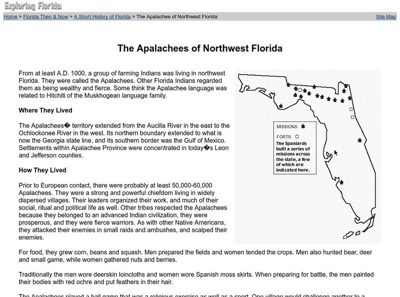
Florida Center for Instructional Technology: The Apalachees of Northwest Florida
The Apalachee tribe inhabited Northwest Florida. Pre-European contact life, the arrival of Europeans and its impact, and the decline of the Apalachees are discussed.


