Curated OER
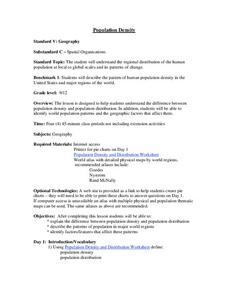
Population Density
Students examine world population density and population distribution. They create pie charts showing population distribution and analyze population patterns in the United States and major regions of the world. They identify...
Curated OER
What is the Population Distribution of Cartoon Characters Living On the Pages of Your Newspaper?
Students read various cartoons in their local newspaper and calculate the population demographics, spatial distribution and grouping of the characters. Using this information, they create a population distribution map and share them with...
PBS
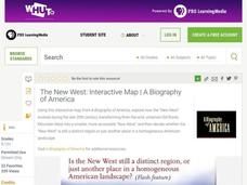
The New West: Interactive Map | A Biography of America
Using this interactive map activity, from A Biography of America, explore how the "New West" evolved during the late 20th century, transforming from the wild, untamed Old Rocky Mountain West into a smaller, more accessible "New West."...
ESRI
Juneteenth: An American History through Maps
An interactive website traces the history of Juneteenth celebrations from their origin in Galveston, Texas, on June 19th to the present day. Using interactive maps, learners can find information about the African-American population...
Curated OER
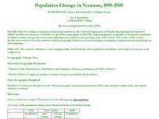
Population Change in Vermont, 1990-2000
Young scholars improve their mapping skills and knowledge about population distribution and change in Vermont at the county level. They are divided into groups of two or four. Each group is given two county base maps and the population...
Curated OER
Understanding "The Stans"
Students explore and locate "The Stans" in Central Asia to create, write and illustrate maps, graphs and charts to organize geographic information. They analyze the historical and physical characteristics of Central Asia via graphic...
Curated OER
As Simple as Beans: Canada's Population
Students gather facts about Canada from various maps. In this Canada lesson, students use beans to relate the populations of the U.S. and Canada. Students create population distribution maps based on the placement of the beans.
Curated OER
Mapping Population Changes In The United States
Students create a choropleth map to illustrate the population growth rate of the United States. They explore how to construct a choropleth map, and discuss the impact of population changes for the future.
Curated OER
Mapping Counties
Students practice reading a map. In this mapping activity, students illustrate a map and compare and contrast the counties based on their population. Students also explore what a census is and read census data on a map. A student...
Curated OER
Where is Everybody?
Students collect data from different grade levels at their school and develop thematic maps which show population density, and determine how this might affect the school and themselves in the future.
Curated OER
The Geography & Peoples of Europe
Extremely throrough and informative, this presentation details many aspects of European geography and demographics, including natural resources, climate, topography, and population distribution. This slideshow would be an excellent...
Curated OER
China Quest
Read and research information on China. Young researchers complete a knowledge hunt about China then locate and describe each location using directional words. They recognize the word meaning through context clues and application practice.
Curated OER
Why We Count
Students visualize census data on a map and use a map key to read a population map. In this census lesson, students use a map of the Virgin Islands and corresponding worksheets to gain an understanding of population density.
Curated OER
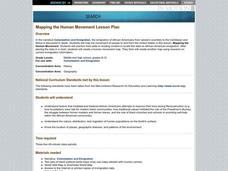
Mapping the Human Movement
Students research data on African-American emigration, place the data in a chart and create a human movement map. They also create another map using research on current immigration information.
Curated OER
Satellite Images- Night Time
Fourth graders study the geography and population distribution of various places on earth. They utilize actual satellite images of the night sky (lights showing heavily around area of dense population) to study and make observations...
Curated OER
Balancing Act
Students investigate the dramatic increase in world population and the unequal distribution of resources. They examine the six world regions and how they are affected by the increase in population.
Curated OER
Where Should We Put a Store?
Students analyze population data. They convert population data into simple density maps to help make decisions about their world. They select the best location for a school store based on population density. They present their maps...
Curated OER
Take Me Out To the Ball Game
Students use a map to graph and locate major league teams of different sports. In groups, they analyze the population data of the United States and compare it with the amount and location of the major league teams. They share their...
Curated OER
Geomnemonics: Facilitating the Teaching of Social Studies Content with Geography Skills
Students explore how to draw a world map by hand and how to locate countries.
Curated OER
Population Counts
Learners use 2001 population figures to color provinces and territories on a map. They use the information on their map to answer questions.
Curated OER
Geography: Mapping Newspaper Coverage
Students examine the locations of stories appearing in newspapers and determine where to assign reporters. Using various maps, they connect the stories to the correct maps and create charts of the story locations. Students explain their...
Curated OER
Comparison of hometown life with that of life in a Canadian city
Young scholars research cultural characteristics of a Canadian city with that of their home town. They complete a map handout, providing the relative location on a large map and the absolute location on a provincial map. Students work...


