BBC
Bbc News: Disposable Planet
The Earth's population is soaring, but its resources are finite. Can we provide food, water, energy? Watch a slideshow on our planet's future, and take a quiz to measure your impact on the Earth.
Other
Ohio Public Libraries: The Evolution of Ohio
Eleven major territories of Ohio are separated and information on economic patterns, population trends, migratory patterns and historical information is provided for each. Site is easily navigated with buttons and links.
Other
City Data
A great source for finding stats and data about U.S. cities compiled from a variety of government and commercial sources. Profiles both large and small cities and includes maps, pictures, population, income and geographical data.
Other
Metrocosm: How We Share the World
In this geographic interactive, students can visualize the world via the following six ways: GDP, government debt, population, births, wealth and billionaires.
Curated OER
Animated Map of Human Population
This animated map shows world population growth from the year 1 to 2020 A.D. Note the changing years as you observe the growth on a map of the world.
PBS
Wgbh/pbs: Westward Expansion 1860 1890
Many changes across the country during the westward expansion were features that could be captured on a map. Review this map and select characteristics to be illustrated. Characteristics such as population, major cities, railroads, and...
Curated OER
Woa: Population & Sustainability Dynamics India
With India's population topping one billion, this page deals with both population growth and sustaining the current population in India.
Curated OER
Woa: Population & Sustainability Dynamics India
With India's population topping one billion, this page deals with both population growth and sustaining the current population in India.
Curated OER
Etc: United States Growth in Population by Decades, 1900 1910
A map of the United States showing the increase in population per state between the 1900 and 1910 census. The map is keyed to show State population increases ranging from under 2 per cent to 50 per cent and over. "This is a map...
Curated OER
Factors Limiting Population Growth of Wolves in Algonquin Park
Information is given on the Eastern Wolf's appearance, migration, food, breeding and predators. Several of the topics are highlighted with video clips. Research questions and answers examine the environmental impact on the wolves in the...
Curated OER
Www.imagesoftheworld.org
With India's population topping one billion, this page deals with both population growth and sustaining the current population in India.
Incorporated Research Institutions for Seismology
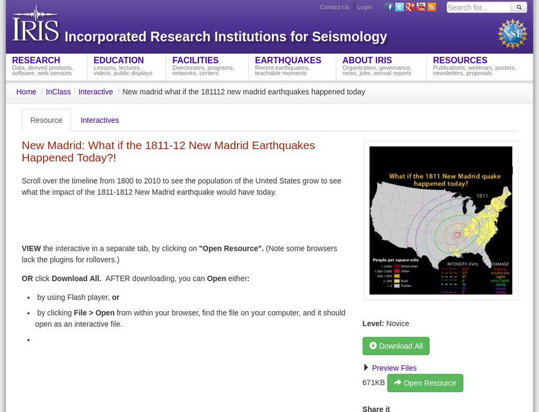
Iris: New Madrid: What if the 1811 12 New Madrid Earthquakes Happened Today?
A timeline from 1800 to 2010 that shows population growth of the United States. It shows the impact of the 1811-1812 New Madrid earthquake would have today.
Curated OER
Estados Unidos De Am
Review accurate and up to date statistics on the population of Hispanics in the United States. Click on the different states and find how Hispanics are becoming the number one minority in the United States.
Khan Academy
Khan Academy: Claim Testers: Episode 3 Planting Seeds
The claim-testing gang find themselves in a bind and conduct their own experiment to show how agriculture leads to more complex societies.
Curated OER
Unesco: Palau: Rock Islands Southern Lagoon
Rock Islands Southern Lagoon covers 100,200 ha and includes 445 uninhabited limestone islands of volcanic origin. Many of them display unique mushroom-like shapes in turquoise lagoons surrounded by coral reefs. The aesthetic beauty of...
Curated OER
Educational Technology Clearinghouse: Maps Etc: Northeast China, 1971
"Northeast China - the provinces of Heilungkiang, Kirin, and Liaoning - is the most important region of the country and a nationally significant and still-developing center of agricultural production. Most of the Northeast remained...
Curated OER
Educational Technology Clearinghouse: Maps Etc: Nevada, 1904
A map from 1904 of Nevada showing the capital of Carson City, major cities and towns, railroads, mountains, lakes, and rivers. "Nevada (Sage Hen State) - Created a Territory in 1861, declared a state in 1864. The real growth of the State...
Curated OER
Unesco: United States of America: Olympic National Park
Located in the north-west of Washington State, Olympic National Park is renowned for the diversity of its ecosystems. Glacier-clad peaks interspersed with extensive alpine meadows are surrounded by an extensive old growth forest, among...
Other popular searches
- Human Population Growth
- World Population Growth
- Population Growth Patterns
- Limits to Population Growth
- Effect of Population Growth
- Population Growth Rate
- Biology Population Growth
- : Zero Population Growth
- Population Growth and Change
- Growth of World Population
- Population Growth Science
- Population Growth Lessons


