Hi, what do you want to do?
Encyclopedia Britannica
Encyclopedia Britannica: 300 Women Who Changed History: Liliuokalani
Encyclopaedia Britannica provides a biography of Liliuokalani, the first woman to be queen of Hawaii.
Other
Select Committee on Homeland Security
Offical website of the Select Committee on Homeland Security, which focuses on the role of this committee within the House of Representatives.
Other
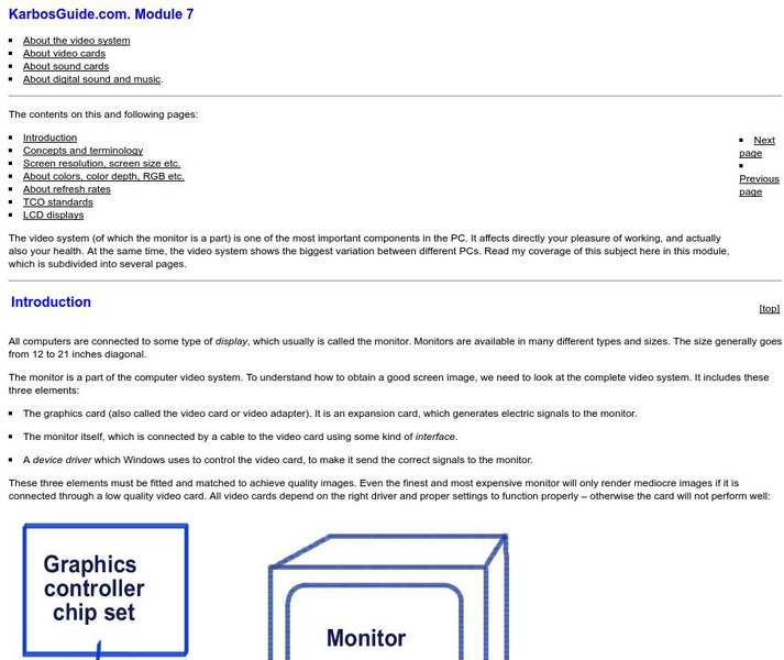
Karbos Guide: An Illustrated Guide to Monitors
The video system (of which the monitor is a part) is one of the most important components in the PC. This site is a must see if you are interested in learning about this system.
Ohio History Central
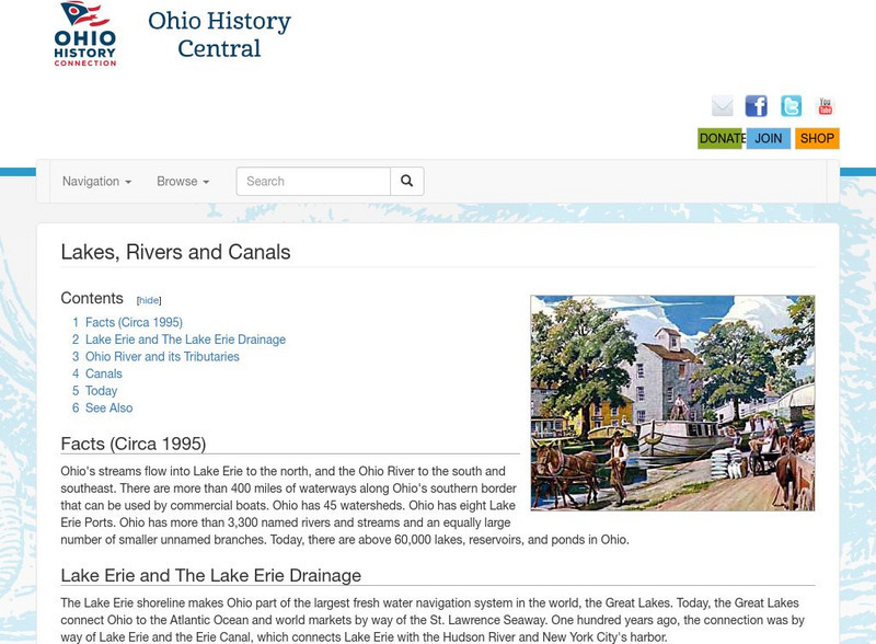
Ohio History Central: Lakes, Rives, & Canals
This site provides a brief introduction to the river system and canals of Ohio. Includes a history of the canal system, details and maps of the drainage throughout the state, and how the river systems are used today.
Independence Hall Association
U.s. History: Westward Expansion: The Louisiana Purchase
Read about the fortuitous purchase made that doubled the size of the United States. See why Napoleon was willing to sell the land, and find out about the quandary Thomas Jefferson was in as he had to go against his strict construction...
Library of Congress
Loc: America's Story: Louisiana Purchase
This Library of Congress timeline series discusses the Louisiana Purchase.
Digital History
Digital History: The New Left
Read about the New Left, its often radical ideas, and how its impact far exceeded the numbers of those who claimed to belong to the New Left.
A&E Television
History.com: World Trade Center
The iconic twin towers of downtown Manhattan's World Trade Center were a triumph of human imagination and will. Completed in 1973, the towers stood at 110 stories each, accommodating 50,000 workers and 200,000 daily visitors in 10...
A&E Television
History.com: The Mariel Boatlift: How Cold War Politics Drove Thousands of Cubans to Florida in 1980
After Fidel Castro loosened emigration policies, some 125,000 Cubans landed on U.S. shores over a span of five months. The Mariel Boatlift of 1980 was a mass emigration of Cubans to the United States. The exodus was driven by a stagnant...
Curated OER
Port City of Lake Charles, Louisiana
In this September, 2005, report, the Gulf Coast is hit by Hurricane Rita. Along with report, is a photographic slideshow, satellite images, and links to other articles.
Curated OER
Aboriginal Man Dancing, Port Douglas, Queensland, April 1957
A broad selection of images featuring Australian indigenous dance can be found on this site by Picture Australia. By clicking on individual images you'll find high quality photographs as well as a brief description.
Other
Staten Island Children's Museum: Block Harbor [Pdf}
In this activity, you can use wooden and cushion blocks to build your own ship or place of port.
Civil War Home
Home of the American Civil War: The Battle of Vicksburg
Provides a general overview of the siege of Vicksburg. Content includes a small map of the area on July 3, 1863. From "Historical Times Encyclopedia of the Civil War" edited by Patricia L. Faust.
ibiblio
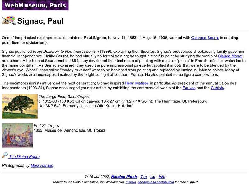
Ibiblio: Web Museum: Paul Signac
This site from the WebMuseum of ibiblio.org provides a biography of a neoimpressionist and pointilist, Paul Signac, who worked with artist Georges Seurat Includes images of his artwork.
University of Groningen
American History: Outlines: Outline of American History Coercive Acts
This essay provides information about the First Continental Congress which was called as a result of the passage of the Coercive Acts.
Wikimedia
Wikipedia: New York Harbor
Wikipedia offers a quick overview of the famous New York harbor, a good example of an ice-free, natural harbor.
Other
Networking
Information on connecting Mac and Windows machines to an Ethernet network. Click on icons for specific information and settings.
Other
Pc Guide: Video Cards
This site from the PC Guide provides a detailed explanation of what a video card is and its purpose. This site is a thorough reference to learn more about video cards and their capabilities.
Open Door Team
Open Door Web Site: The "Boston Tea Party"
This brief article hits the high points of the Boston Tea Party-the reason, those involved, and England's response.
Smithsonian Institution
Smithsonian American Art Museum: Joseph Stella
Joseph Stella is profiled at this site in a format that begins with a very brief biographical sketch of his life. His works are then listed by appearance in the museum's database. Each work is presented in thumbnail format with brief...
Other
Forest Pathology: Invasive Species: Nightmare or Reality?
This informative resource provides an overview of the invasive species problem related to trees and suggests a solution to solving the problem. Contains links to other related information.
Curated OER
Educational Technology Clearinghouse: Maps Etc: Japan, 1920
A map from 1920 of Japan, showing the islands of Yesso (Hokkaido), Hondo (Honshu), Shikoku, and Kiushu (Kyushu), the capital city (Tokyo) and other major cities, treaty ports, railroads, proposed railroads, submarine cables,...
Other popular searches
- Local Ports
- Selling u.s. Ports
- Selling Us Ports
- Ports and Harbors
- Colonies and Ports
- Ports in the Us
- American Revolution Ports
- Southeastern Ports
- Imaginative Ports
- Revolutionary War Ports
- Ports in Britain
- Houston Ports


