Curated OER
Mapping Spain
In this map labeling worksheet, students follow directions to label 10 items on a map of Spain. They label the capital city of Madrid, the Pyrenees Mountains, surrounding water bodies and countries. They trace the flow of the Duero River.
Curated OER
Creating a Map of France
In this crating a map of France worksheet, students find and label important parts of France, bodies of water, mountains and surrounding countries.
Curated OER
Geography A to Z: The Letter F
The geography letter of the day is F! The class needs to determine the answer to each of the seven clues with a world location that starts with letter F. Wonderful for a daily warm up or as an exit-card activity.
Curated OER
Colorful Cut-Outs
Students examine the works of Claude Matisse. In this Matisse Art Lesson, students explore Beasts of the Sea to find recognizable shapes. Students visit the National Gallery to view Matisse artworks.
Ms. Catsos
Ancient Rome Map Worksheet
It wasn't just the great leaders of ancient Rome that shaped their civilization—the geography of the region played a major role as well. After first identifying major land masses, bodies of water, and city states on a map of Europe,...
Curated OER
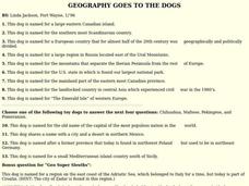
GEOGRAPHY GOES TO THE DOGS
Students use countries and dogs from around the world to answer the questions.


