Curated OER
Lesson Plan: Using Maps and Scales to Get to the Basketball Hall of Fame
Students view a quicktime video of basketball players going from Atlanta to Springfield, Mass. In this scaling lesson, students use a map to calculate the distance of the trip and the length of travel time. Students apply ratio and...
Benjamin Banneker Association
Celebrate Benjamin Banneker
Inventor, astronomer, surveyor, mathematician, clock maker. Learners celebrate the life of Benjamin Banneker by building creative analog clocks, making scale models, and solving problems related to surveying. The activities model the...
Curated OER
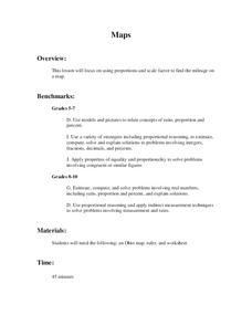
Maps
Students figure out the mileage from one state to another using a map. In this map lesson, students look at the scale factor and turn it into a fraction. They measure the distance between two cities and use the proportion to find the...
Curated OER
It's Greek to Me!
Students explore Greek Mythology. In this Greek Mythology unit, students read myths, pantomime vocabulary words, practice research skills, create city-states, and demonstrate knowledge of ratios and proportions. This unit includes many...
Curated OER
The Good, The Bad, The Ugly
Sixth graders examine the causes of the stock market crash of 1929. For this integrated math/history unit on the stock market, 6th graders study, research, and read stocks, visit a local bank, and create a PowerPoint to show the...
Curated OER
In Country: An Integrated Look at the Vietnam War
High schoolers explore aspects of the Vietnam War and how it relates to the heritage of America. In an attempt to understand the level of involvement, students analyze statistics from the Vietnam war. High schoolers watch a video, read a...
Curated OER
Reading distance on maps
Eighth graders complete worksheets on reading the distance on maps in miles or kilometers. For this maps lesson plan, 8th graders use a calculator and ruler.
Curated OER
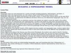
Building a Topographic Model
Students explore Mount Shasta and various locations on Mars to examine ways geographical data can be represented. They study topographic maps and translating data from 2-Dimensions to 3-Dimensions.
Curated OER
MOBILITY, Traveling Lightly: What’s My Footprint?
Students calculate their carbon footprint. In this environmental technology lesson, students listen to a lecture on climate change. Students brainstorm solutions to reduce environmental impact based on travel options. Students calculate...


