Curated OER
University of Texas: Maps: Tajikistan: Political Map
Here's an easy to read political map of Tajikistan with its important cities, province borders, major highways, and railroads.
Curated OER
University of Texas: Sri Lanka: Relief Map
A very easy to read relief map of Sri Lanka from the Perry-Castaneda Collection showing the land forms along with the major highways and rail lines.
Curated OER
University of Texas: Cameroon: Political Map
On this site you'll find an easy-to-read political map of Cameroon showing the provinces, major cities and highways, and neighboring countries. From the Perry Castaneda Collection.
Sophia Learning
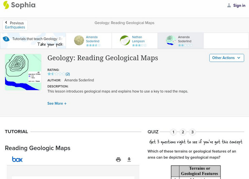
Sophia: Geology: Reading Geological Maps: Lesson 3
This lesson introduces geological maps and explains how to use a key to read the maps. It is 3 of 3 in the series titled "Geology: Reading Geological Maps."
Other
California State University: Topographic Map Symbols
Click on any of the geographical terms on this website to see examples that illustrate the symbols commonly used on maps. Includes boundaries, building symbols, caves, mines, elevation symbols, coastal features, and more.
University of Texas at Austin
The Perry Castaneda Library Map Collection
This collection contains more than 250,000 maps covering all areas of the world, and ranging from political and shaded relief maps to the detailed and the historical. Select from a region of the world or an area of highlighted interest.
Sophia Learning
Sophia: Note Taking: Concept Maps and Flow Charts
This slideshow lesson focuses on note taking using concept maps and flow charts; it provides background information, 6 types of concept maps or flow charts with best uses, uses in the classroom, uses while reading or researching, and how...
Curated OER
University of Texas: Small Map of Vietnam
Look at a map of Vietnam with all the major cities and the Mekong River and delta. Very easy to read.
Curated OER
University of Texas: Saudi Arabia: Small Political Map
This map of Saudi Arabia is very easy to read. It shows the major cities and its location in relation to other countries in the Middle East. From the Perry-Castaneda Collection.
NASA
Nasa Earth Observatory: Global Maps: Chlorophyll
Discover how chlorophyll is related to photosynthesis and watch a map evolve from July 2002 to October 2008 showing the varying levels of chlorophyll. Read about how important chlorophyll and photosynthesis are to our environment.
Curated OER
University of Texas: Small Map of India
See India's major cities and rivers in this easy-to-read map from the Perry Castaneda Collection.
Curated OER
University of Texas: Afghanistan: Small Map
This small map of Afghanistan is easy to read, showing only the major cities, the outline of the country and its neighbors.
Library of Congress
World Digital Library: Map of Atlantic Coast: Chesapeake Bay to Florida
A historic map of the Atlantic coast of America created by cartographer Joan Vinckeboons around 1639 for the Dutch West India Company. A feature on the page allows the visitor to listen to and read the accompanying descriptive text in...
United Nations
United Nations: Cartographic Section: Okavango River Basin [Pdf]
This map from the United Nations is a very detailed map of the Okavango River Basin, showing rivers, wetlands, cities, country boundaries and much more. Increase the viewing percentage to read the map easily.
University of Texas at Austin
Perry Castaneda Library Map Collection: Americas Historical Maps
This collection from the University of Texas Library Online of historical maps contains a wide variety of maps from various parts of the continent and from different parts of history. Each map is accompanied by a brief description and is...
University of Texas at Austin
Perry Castaneda Library Map Collection: Historical Maps of Russia
This outstanding collection of historical maps contains a wide variety of maps from various parts of the Soviet Union as well as the former Soviet Republics, and from different parts of history. Each map is accompanied by a brief...
University of Texas at Austin
Perry Castaneda Library Map Collection: Historical Maps of Europe
This collection from the University of Texas Library Online of historical maps contains a wide variety of maps from various parts of Europe and from different parts of history. Each map is accompanied by a brief description and is clear...
University of Texas at Austin
Ut Library Online: Historical Maps of Africa
This collection from the University of Texas Library Online of historical maps contains a wide variety of maps from various parts of the continent and from different parts of history. Each map is accompanied by a brief description and is...
University of Texas at Austin
Ut Library Online: Historical Maps of Asia
This collection from the University of Texas Library Online of historical maps contains a wide variety of maps from various parts of the continent and from different parts of history. Each map is accompanied by a brief description and is...
University of Texas at Austin
Ut Library Online: Historical Maps of the Polar Regions
This collection from the University of Texas Library Online of historical maps contains a variety of maps from various parts of the polar region and from different parts of history. Each map is accompanied by a brief description and is...
University of Texas at Austin
Perry Castaneda Library Map Collection: Historical Maps of Texas
This collection of historical maps contains a wide variety of maps from various parts of Texas and from different parts of history. Each map is accompanied by a brief description and is clear and easy to read.
Information Technology Associates
Information Technology Associates: Quick Maps
View countries of the world. Maps are quick and easy to read. Some are designed to be printed out for coloring and/or labeling.
English Zone
English Zone: Reading a City Map 1
Practice reading information provided in map format. This website has a simple city map that you refer to when answering questions about various places located on the map. Choose the correct response for each multiple choice question and...
Houghton Mifflin Harcourt
Holt, Rinehart and Winston: Estados Unidos
Easy-to-read Spanish map of the United States with country information below. A nice site with links to the States and the rest of the world's countries as well!
Other popular searches
- Map Reading
- Map Reading Skills
- Earth Science Map Reading
- Esl Map Reading
- Map Reading Activities
- Basic Map Reading
- Map Reading Powerpoint
- Topographic Map Reading
- Map Reading Grade 6
- Reading Maps and Globes
- Lessons on Map Reading
- Elements of Map Reading


![United Nations: Cartographic Section: Okavango River Basin [Pdf] Graphic United Nations: Cartographic Section: Okavango River Basin [Pdf] Graphic](http://content.lessonplanet.com/resources/thumbnails/457765/large/bwluav9tywdpy2symdi1mdqyoc04mzc3mdutcdftbgx4lmpwzw.jpg?1745828804)


