Hi, what do you want to do?
Read Works
Read Works: Dinosaur Discovery
[Free Registration/Login Required] Students read text, a map, and a chart about dinosaur fossils. A question sheet is available to help students build skills in comparing and contrasting.
Other
Spotsylvania County Schools: Curriculum Maps
This site features an outline of how to implement the use of curriculum maps into a school district curriculum program.
Pamela Seed
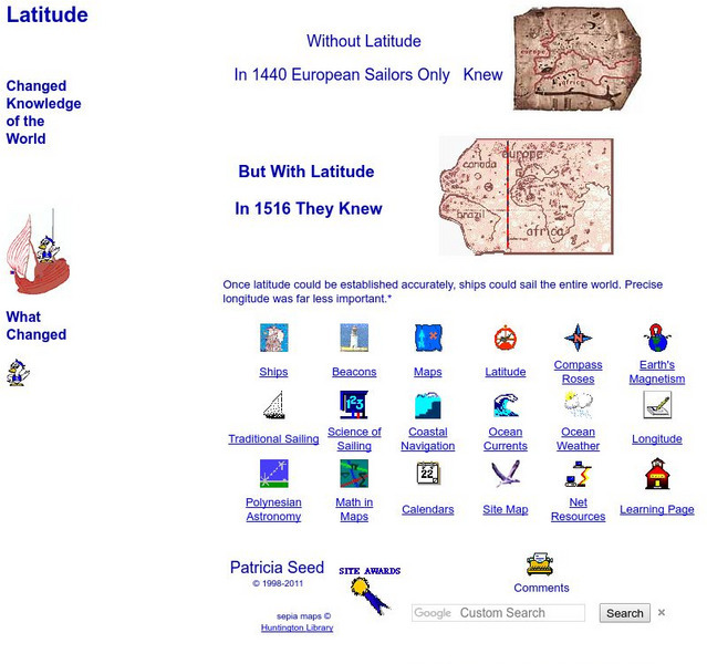
Rice: Latitude: The Art and Science of 15th Century Navigation
This is a great site to read about how navigation began in Europe and what tools were used. Make sure to read the segments on coastal navigation, maps, and ocean currents.
CK-12 Foundation
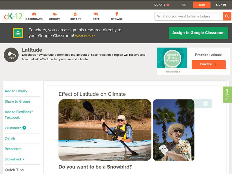
Ck 12: Earth Science: Effect of Latitude on Climate
[Free Registration/Login may be required to access all resource tools.] How latitude affects the climate of a region.
CK-12 Foundation
Ck 12: Earth Science: Effect of Latitude on Climate
[Free Registration/Login may be required to access all resource tools.] How latitude affects the climate of a region.
Math Science Nucleus
I. Science Ma Te: Integrating Science, Math and Technology
This site offers a wealth of online textbook-related materials that encourage the discovery of science in the world around us. Enter the site to access material on specific topics. Each section contains reading material (complete with...
Other
Classzone: Weather Forecasters Use Advanced Technologies [Pdf]
An excerpt from an earth science textbook. The chapter shown here covers concepts about how weather data is collected, displayed and how meteorologists forecast fronts and storms.
Curated OER
Latitude: The Art and Science of 15th Century Navigation
This is a great site to read about how navigation began in Europe and what tools were used. Make sure to read the segments on coastal navigation, maps, and ocean currents.
US Geological Survey
Lake Pontchartrain Basin Foundation: Watershed
Explore the characteristics of a watershed through these multiple intelligences learning activities. Activities will help students define a watershed as well as read the features on a topographic map. Site also includes background...
Georgia Department of Education
Ga Virtual Learning: Electrostatics With Conductors
In this interactive tutorial students will find out why the electric field inside a conductor is zero. They can learn to read maps of equipotential surfaces surrounding charged conductors and map electric field lines from those...
ClassFlow
Class Flow: Tornados in the Us
[Free Registration/Login Required] Overview: In this lesson, students will learn the basics about how tornadoes are formed, and when and where they are most likely to occur. They will learn that the United States is the country most...


![Classzone: Weather Forecasters Use Advanced Technologies [Pdf] eBook Classzone: Weather Forecasters Use Advanced Technologies [Pdf] eBook](https://static.lp.lexp.cloud/images/attachment_defaults/resource/large/FPO-knovation.png)

