Curated OER
Reading the newspaper
Middle schoolers read articles related to local, state, national, and world events using word maps.
Curated OER
Toy Making and Resourcefulness
Students demonstrate their understanding of resourcefulness by making a toy and describing how they were resourceful. They find Malawi on a map and tell the interesting things about the book Galimoto.
Curated OER
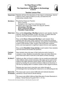
The Importance of Site Maps in Archaeology
Students consider the importance of site maps in archeology. They interpret site maps, draw site maps of their classroom and home and then participate in simulated Paleolithic archeological camp activity.
Curated OER
Making Topographic Maps and Mountain Profiles
Students study how to mark inclines and construct a mountain profile. In this topographic map lesson students mark contour intervals and draw mountain profiles.
Curated OER
Isolines on a Weather Map
Ninth graders explore weather by analyzing maps. In this temperature instructional activity, 9th graders view black and white weather maps of locations in which the weather changes often. Students identify the isolines used on the maps...
Curated OER
Reading and Responding: Lesson 3
Eighth graders practice reading a nonfiction selection. They read for details, read for cause and effect, and practice the process of elimination. They use these strategies when answering multiple choice questions in tests.
Curated OER
Sequencing / Story Events
Students read a story and use sentence strips to order story events. In this sequencing lesson, students learn new vocabulary words centered around the story Cloudy With a Chance of Meatballs, preview the story, make predictions...
Curated OER
Treasure Hunt
First graders read and follow a map in a treasure hunt to find the location of the treasure. They demonstrate their knowledge/understanding of symbols, keys on a map, and directions by following the map with ease.
Curated OER
Project Whistlestop:Missouri Vacation Learning Unit
Fourth graders reserach the state of Missouri. For this Missouri History lesson, 4th graders plan a vacation to a region of Missouri. Students work in collaborative groups to determine all aspects of the trip. Students use math...
Curated OER
Around the Town
Young scholars explore reading maps. In this map reading lesson, students compare distances fom place to place. Young scholars work in groups and predict the distance then find the actual distance using string or rulers.
Curated OER
Welcome to My World!
Students use maps to locate information. They read the story, "It Looked Like Spilt Milk", view images of the continents and discuss the various continents. Afterward, they make their own Atlas to record information that they can later...
Curated OER
Arthur's Nose
Students read a story and complete a story map. In this diversity and acceptance lesson, students read Arthur's Nose, make a story map, research Aardvarks, complete a Venn Diagram comparing Arthur's nose to other animals in the...
Curated OER
Drake's West Indian Voyage 1588-1589
Students investigate several maps detailing Sir Francis Drake's voyages. For this geography lesson, students practice reading maps and locating the precise locations of where Sir Francis Drake visited. Students create an...
Curated OER
Charlotte's Web
Fourth graders focus on fluency by reading the book Charlotte's Web. In this reading strategies lesson, 4th graders partner read, do guided reading, and independent reading to increase fluency. Students use Venn Diagrams, discuss...
Curated OER
From Claws to Jaws: Atlantic Regions of the United States
Students explore New England, Mid-Atlantic, and southeastern regions of the United States. In this social studies thematic unit, students research a state and make a regional quilt. Students wrte a book report and read two novels...
Curated OER
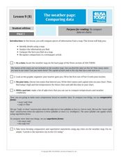
The Weather Page-Comparing Data
Students examine weather patterns in the United States. In this weather instructional activity, students use a United States map to identify high and low temperatures in two states. Students compare the data and record their findings...
Curated OER
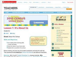
2010 Census Lesson 1: It's About Us
Students analyze data from the 2000 census to learn how the census works. In this civics instructional activity, students read a story to find out about the census, then use a map and census data to analyze changes. Lesson includes...
Curated OER
Cardinal Directions
First graders study cardinal directions on maps. In this geography lesson, 1st graders determine and show where North, South, East, and West are on various maps.
Curated OER
Johnny Appleseed Walkabout
Second graders calculate mileage for a journey. In this place value and measurement lesson, 2nd graders read Johnny Appleseed, work in groups to locate his birthplace on a map, locate the other states he stopped in, and measure the...
Curated OER
Navigation
Students explain that globes are the best way to show positions of places, but flat maps are portable and can show great detail. They make a mercator projection of the route Lewis and Clark took on their journey.
Curated OER
Reshaping the Nation
High schoolers learn why the census makes a difference. In this U.S. Census lesson plan, students learn how to read and use a cartogram while they explore new ways to represent data.
Curated OER
Why We Count
Students visualize census data on a map and use a map key to read a population map. In this census lesson plan, students use a map of the Virgin Islands and corresponding worksheets to gain an understanding of population density.
Curated OER
Cacao Tree Geography
Students use a map to learn about where chocolate comes from. In this lesson on the cacao tree, students locate various regions where the cacao tree grows. They will discuss why the cacao tree grows more favorably in particular climates...
Curated OER
Wales: An Interdisciplinary Unit
Students practice basic map and geographic skills as they compare Oregon to Wales. Students color map of Wales and Oregon using color codes to distinguish between land, water, and bordering nations or states, listen to stories and...


