Hi, what do you want to do?
International Institute of Social History
International Institute of Social History: Resolutely Destroy All Enemies Who Da
From the International Institute of Social History this is "Resolutely destroy all enemies who dare to encroach upon us!" a Chinese political propaganda poster by the artists of the Political Department of the Zhejiang Military Region of...
Harry S. Truman Library and Museum
Harry S. Truman Library and Museum: Un Resolution 181: 1947 Partition
The map shows the partition of Israel according to UN Resolution 181 in 1947.
Georgia Department of Education
Ga Virtual Learning: Identify Plot: Plot Structure Diagram [Pdf]
This is a PDF of a ReadWriteThink plot structure diagram chart form for students to use on short stories. It includes exposition, rising action, climax, falling action, resolution, theme, and protagonist and antagonist.
Curated OER
The Resolution of Louis Xiv to Make War on the Dutch Republic
An image of "The Resolution of Louis XIV to Make War on the Dutch Republic", created by Charles Le Brun in 1671 (Oil on canvas, 72 x 98 cm).
NASA
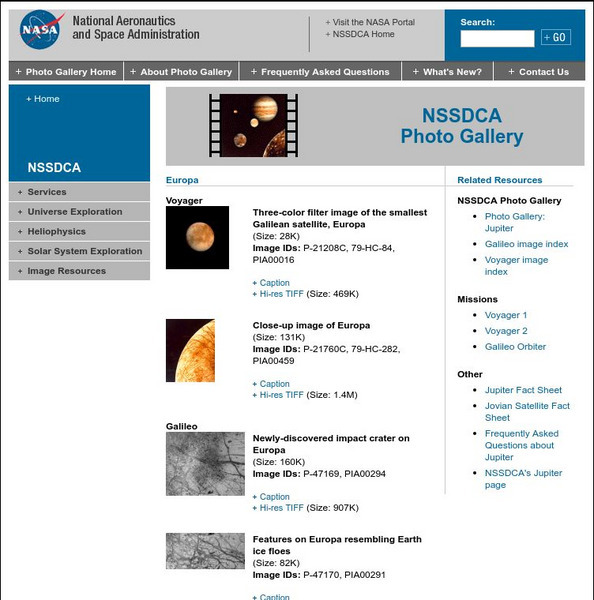
Nasa Space Science Data Archive: Photo Gallery: Europa
This NASA page is a collection of thumbnail images of Europa taken by the Voyager and Galileo missions. Thumbnails link to low and high resolution image files and complete caption files. Images are excellent examples of various surface...
NASA
Nasa: Welcome to From Earth to the Solar System (Fettss)
A collection of high-resolution images of space. Images "showcase the discoveries and excitement of planetary exploration, with a focus on the origin and evolution of the Solar System and the search for life".
Other
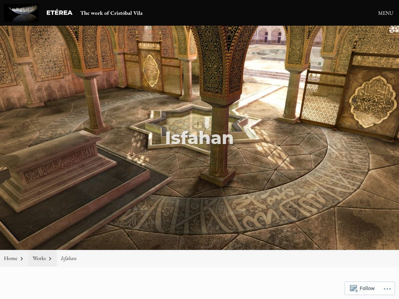
Isfahan: An Animation Inspired by Persian Architecture
View a wonderfully intricate animated film [3:00] inspired by different places of worship centered in and around the Iranian city of Isfahan. Created by a digital artist/architectural illustrator based in Spain, the film is accompanied...
NASA
Nasa Space Science Data Archive: Photo Gallery: Jupiter
Images of Jupiter and its moons. Thumbnails lead to small JPEG graphic files. Some link to large, high-resolution TIFF files. Nearly all have a detailed caption file link.
ReadWriteThink
Read Write Think: Conflict Map
This graphic organizer focuses on conflict: identifying the conflict, listing possible resolutions, and determining the cause of the conflict. It can be used as a reading tool, a writing organizer, or solving a real-life conflict.
Other
Livius: Nineveh, Palace of Senacherib
A collection of high-resolution photos of carvings from the walls of the Palace of Sennacherib, as well as a drawing of a map.
NASA
Nasa: Milky Way
This Milky Way image is part of a series of photographs taken from the Spitzer Space Telescope. The picture is accompanied by a textual overview of the Milky Way with specific attention given to the details of the picture. Several higher...
Other
Art Smart: Indiana: Indiana Locations Map
A detailed, high resolution, printable map showing the counties, communities, and cities of Indiana.
Georgia Department of Education
Ga Virtual Learning: Fable Chart [Pdf]
This is a PDF Fable Chart designed for students to complete as they read a fable; it includes the title and author, the animal character, human characteristics, the individual elements of a short story, and the moral or lesson.
Kidsource OnLine
Kid Source on Line: Developmental Considerations Concerning Children's Grief
This site offers a chart that explains children's perceptions of death and their responses at different ages in their development.
Tom Richey
Tom richey.net: Adams Administration: Constitution in Crisis 1797 1801 [Ppt]
Presents key ideas for examining the issues faced by the Adams Administration including sectionalism, political partisanship, the Alien and Sedition Acts, and more.
Curated OER
Route of Franklin's Expedition From Fort Resolution to the Arctic Coast in 1825
This page, and the one after it, have a collection of the earliest maps of Canada by all the best known explorers.
Tom Richey
Slide Share: Elements of Plot
A slide show with ten slides about the parts of a plot development: exposition, conflict, rising action, climax, falling action, and resolution.
Tom Richey
Slide Share: Plot Structure
A slide show with twenty-one slides explaining elements of plot including: characters, setting, exposition, conflict, rising action, climax, falling action and resolution.
Other
Englishbiz: The Structure of Narrative: Freytag's Triangle
Teaching the plot structure of narratives is made easy with this diagram of Freytag's Triangle (also known as the plot pyramid).
NASA
Nasa: Planetary Photojournal: Jupiter
Looking for images of Jupiter or its moons? This is the place to start. Pictures are available from both Voyager missions, Galileo Orbiter and the Hubble Space Telescope. Choose from images of the planet, the ring, any of the Galilean...
Curated OER
National World War Ii Memorial
The official site of the National World War II Memorial. You can download a high-resolution image of the memorial.
Curated OER
Educational Technology Clearinghouse: Maps Etc: Italy, 1910
A map of Italy in 1910, color-coded to show the larger compartimenti (provinces) prior to the resolution of the Italian Irredentist Movement. This map shows the territories of Tyrol, Istria, and Dalmatia under Austria-Hungary Empire...
Curated OER
Educational Technology Clearinghouse: Maps Etc: Italy, 1909
A map of Italy in 1909, prior to the resolution of the Italian Irredentist Movement to unite the territories of ethnic Italians. This map shows the territories of Tyrol, Istria, and Dalmatia under Austria-Hungary Empire rule, Corsica...
Curated OER
Educational Technology Clearinghouse: Maps Etc: Italy, 1919
A map of Italy in 1919, however, it shows the Italian provinces prior to the resolution of the Italian Irredentist Movement to unite the territories of ethnic Italians under the London Pact of 1915. This map shows the territories of...
Other popular searches
- New Years Resolutions
- New Year Resolutions
- Debate Resolutions
- New Year's Resolutions
- Poetry New Year Resolutions
- United Nations Resolutions
- Resolutions for New Year
- Positive Resolutions
- Writing Resolutions
- Conflict Resolutions
- Making New Years Resolutions
- New Year Resolutions Poems


