Science Education Resource Center at Carleton College
Serc: Investigation Erosion in Our World
In this lab activity, students will look for evidence of erosion in river or streams. This activity should take place after students have observed erosion in a model.
Missouri Botanical Garden
Missouri Botanical Garden: Rivers and Streams
The Evergreen Project profiles the natural history of rivers and streams. Topics include watersheds, how a stream becomes a river, erosion, water pollution, and the like.
Orpheus Books
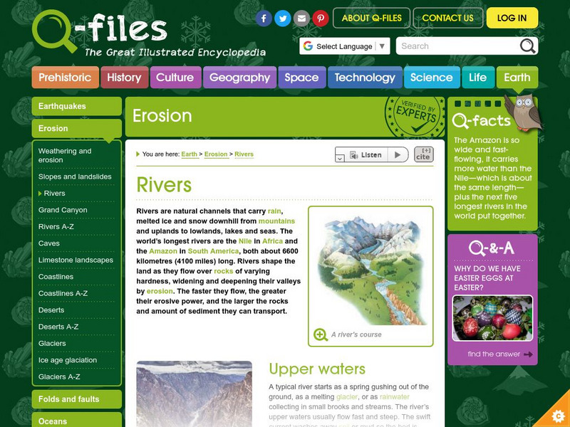
Q Files: Earth: Erosion: Rivers
Identify the upper waters, lower courses and whatever "falls" in between while studying the science of rivers.
US Geological Survey
Usgs Earth's Water: Rivers and the Landscape
Describes the formation of rivers and the transport of soil and sediment. Links to related material is provided within the text.
National Association of Geoscience Teachers
Nagt: Variable Rivers
In this activity students will test amount of water, velocity and steepness of a tabletop riverbed to see how it affects a river's depth, width, and delta size.
Science Education Resource Center at Carleton College
Serc: Measuring Discharge and Flow in the Rum River
Students will travel to a small stream and make predictions regarding stream discharge at the point bar and cut bank. They will make conclusions about how velocity affects erosion and discharge.
National Association of Geoscience Teachers
Nagt: Variable Rivers
In this instructional activity students will be introduced to rivers and river processes. They will test an isolated variable in rivers and they will test either the amount of water, velocity of water, or steepness of the river bed to...
Alabama Learning Exchange
Alex: River's Path
What determines the path of a river? Rivers follow the path of least resistance changing the landscape by carrying sediment and debris along the way.
CK-12 Foundation
Ck 12: Earth Science: Landforms From Stream Erosion and Deposition
[Free Registration/Login may be required to access all resource tools.] Explains how and where rivers erode and deposit sediments, including particles and dissolved ions.
American Geosciences Institute
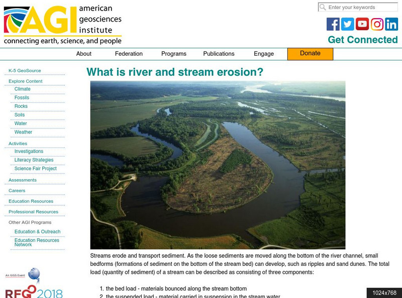
American Geosciences Institute: What Is River and Stream Erosion?
Learn about several different aspects of river and stream erosion.
CK-12 Foundation
Ck 12: Fourth Grade: Earth Science: Erosion and Deposition by Flowing Water
[Free Registration/Login may be required to access all resource tools.] Discusses how flowing water causes erosion; describes how runoff, streams, and rivers change Earth's surface; and identifies features caused by groundwater erosion.
Other
Virtual Courseware Project: Geology Labs on Line: Virtual River
Learn about river processes like discharge, flooding, flood frequency, erosion, and deposition in this interactive tutorial. Tutorial includes interactive exercises and assessments.
Ohio Valley Environmental Coalition
Ovec: Stream Formation and Erosion
A detailed description of stream formation and the erosion process that occurs.
ClassFlow
Class Flow: Rivers 2
[Free Registration/Login Required] In this lesson students evaluate the water cycle and how rivers erode, transport, and deposit materials to produce physical features. Many slides and aerial photos of flooding and riverbanks are...
Other
Siemens Science Day: Earth Science: Let's Get Carried Away!
This hands-on science activity allows students to use a stream table to learn about the processes of erosion and stream-bed formation. Students will understand the effect of water speed on erosion rate and stream formation.
Geographypods
Geographypods: Theme 2: Natural Environments
A rich collection of highly engaging learning modules on topics related to the natural environment. Covers four main areas - plate tectonics, forms and processes, weather and climate, and rainforest and desert. Within each of these,...
Wikimedia
Wikipedia: Stream
This article presents information on streams and various terminology associated with streams. In the article, the difference between intermittent and blue-line streams are discussed. Also, the difference between first-, second-, third-,...
Georgia Department of Education
Ga Virtual Learning: Geology: Glaciers
In this interactive tutorial, you will learn about glaciers - rivers of ice. Learn about the features caused by moving glaciers.
Curated OER
National Park Service: Varying Valleys
The NPS offers a good description of the three main types of valleys, lesson objectives, and modeling activities.
Ohio Department of Natural Resources
Ohio Stream Management Guide: Natural Stream Processes [Pdf]
Provides detailed and technical information and diagrams concerning stream formation, channel shapes, erosional process, and stream management.
Other
Alberta Riparian Habitat Management: Protecting Shorelines & Streambanks [Pdf]
Protecting Shorelines & Streambanks - Naturally explains the critical importance of healthy shorelines for preventing soil erosion and filtering out pollutants. It looks specifically at riparian areas, such as those in Alberta, which...
Other
Nasa: Iss Earth Kam
Students get a whole new perspective of the world through images obtained from the International Space Station. Students can even request images to be taken through ISS EarthKAM. Activities and educator guides are provided.
Curated OER
Etc: Maps Etc: Drainage on the Laurentian Plateau, 1911
A map from 1911 of a portion of the Laurentian Plateau region of North America showing the drainage and lake network west of Lake Nipigon. The map shows the division line for waters flowing to the Albany and the Winnipeg river systems,...
Other popular searches
- River Erosion and Deposition
- River Erosion Animation As
- Geography River Erosion
- River Erosion Lab Activity
- Earth Science River Erosion
- River Erosion Deposition
- Features of River Erosion
- River Erosion Labs
- River Erosion Animationas
- Solutions to River Erosion
- Water Erosion River
- River Erosion Solving


