Hi, what do you want to do?
Curated OER
University of Texas: Botswana: Map
A small map of Botswana that shows the Okavango River and delta as well as the salt pans. From the Perry-Castaneda Collection.
Mocomi & Anibrain Digital Technologies
Mocomi: Nile River Facts and History
Learn the history, location, and other interesting facts about the Nile River.
Andre Dollinger
Reshafim: The Nile
Along with a map of the Nile, read about settlements in the area and the importance of the Nile and its flooding to the ancient Egyptians. Follow hyperlinks to additional information.
Curated OER
Educational Technology Clearinghouse: Maps Etc: Egypt and the Nile Valley, 1920
A map of Egypt and the Nile Valley from the delta south to the confluence of the Sobat River and the Upper Nile. This map shows Egypt Proper, Nubia, Kordofan, Sudan, Eritrea, and portions of Abyssinia and British Somalia. The map also...
Curated OER
University of Texas: Relief Map of Vietnam
From the Perry-Castaneda Collection, a relief map of Vietnam, showing the highlands, river valleys, and the Mekong Delta. Click on the map to zoom in for a closer view.
Other
Virtual Online Steamboat Museum: Steamboat Museum
This resource was created to help save the Delta Queen, the magnificent steamboat that still makes her way up and down the rivers. There are hundreds of photos and stories, collections, and research links available to the steamboat...
PBS
Pbs: Journey to Planet Earth: Land of Plenty, Land of Want
Part of the PBS series "Journey to Planet Earth," this site explores the "fundamental problem facing today's farmer: how to feed the world's growing population without endangering our environment." Includes video and educational resources.
Curated OER
Etc: Maps Etc: Delta of the Ganges River, India, 1873
A map from 1873 of the Ganges River delta in what was at the time the Bengal province of British India. The map shows the main course of the Ganges River, the Hoogly and Hooringotta distributaries, and the Sunderbunds at the mouth of the...
Curated OER
Science Kids: Science Images: Ganges River Delta
This NASA satellite image shows the Ganges River Delta. The Ganges River flows through India and Bangladesh. For more information on rivers, check out the ten longest rivers in the world or our fun river facts for kids.
Curated OER
Educational Technology Clearinghouse: Maps Etc: Canton and Hong Kong, 1919
A map from 1919 of the Pearl River delta from Canton (Guangzhou) to Hong Kong and Macao on the China Sea. At this time, Hong Kong was a possession of Great Britain, and Macao was officially a Portuguese colony. This map shows the river...
Curated OER
Ganges River Delta.
A really cool site showing Satellite (Landsat 7) images of unique geographical and meteorological phenomena. Images show cloud formations to rainforest devastation.
Curated OER
Educational Technology Clearinghouse: Maps Etc: The Perdido River, 1790 1842
A map of the Perdido River area, including Mobile Bay, Pensacola, and the Mississippi Delta. The Perdido River was the disputed boundary of West Florida between the United States and Spain, resolved in 1819 when Spain ceded Florida under...
Curated OER
Unesco: Senegal: Saloum Delta
Fishing and shellfish gathering have sustained human life in the 5,000 km2 property, which is formed by the arms of three rivers. The site comprises brackish channels encompassing over 200 islands and islets, mangrove forest, an Atlantic...
Curated OER
Educational Technology Clearinghouse: Maps Etc: Egypt and Syria, 1912
A map of Egypt showing the major cities of the Nile Delta and the Nile River south to Assouan at the First Cataract in Upper Egypt.
Curated OER
Etc: Maps Etc: Political and Physical Africa, 1901
A map from 1901 of the political and physical features of Africa. The map uses color-contouring to show highlands above 2000 feet in buff tints, lowlands in greens, and the submerged part of the continental plateau in light blue. The map...
Library of Congress
Loc: Earth as Art: A Landsat Perspective
A really cool site showing Satellite (Landsat 7) images of unique geographical and meteorological phenomena. Images show cloud formations to rainforest devastation.
Curated OER
Okavango Delta Map
Experience the Okavango, a "river that never meets the sea." Learn about the animals there, how to make papyrus, and swampy deltas.
US Environmental Protection Agency
Epa: Exploring Estuaries
Find click-through tours of estuaries in New York and in Louisiana that provide sustained reading on the science of river deltas. Text is supported by illustrations and a glossary of special terms.
University of Manchester
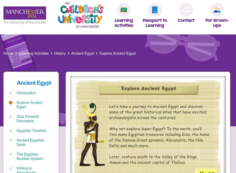
Children's University of Manchester: Explore Ancient Egypt
Explore and learn about places in Ancient Egypt on this interactive map. Next, try to place them to the correct locations on the map, and take a quiz on facts you read about them.
Other
Native American Indian Cultures
Extensive listing of the Native American Indian Cultures from Mexico and various parts of South America. Click on an Indian culture and obtain valuable information about each unique tribe.
Curated OER
Etc: Maps Etc: Physical and Political Map of Africa, 1879
Map of pre-colonial Africa, showing the predominately native countries and territories of the African continent in 1879. The counties include the Barbary States of Morocco, Algeria, Tunis, Tripoli and Fezzan, the Egyptian territories of...
Curated OER
Educational Technology Clearinghouse: Maps Etc: North America, 1899
A study map from 1899 using North America to illustrate various geographic terms commonly found on maps. The map shows examples of continent, river valley, peninsula, strait, bay, political boundary, lakes, island, ocean, cape, sound,...
Curated OER
Etc: Maps Etc: Population Density in Africa, 1916
A map showing the population density of Africa in 1916 showing density ranges from under 2 inhabitants to areas along the Nile River valley and delta of more than 512 inhabitants per square mile.
Curated OER
Educational Technology Clearinghouse: Maps Etc: New Orleans, 1919
A map from 1919 of the vicinity of New Orleans and the Mississippi Delta showing the State capital of Baton Rouge, neighboring towns, railroads, lakes, rivers, and coastal features of the region.


