Hi, what do you want to do?
Other
Pollution Probe: Mercury in the Environment [Pdf]
High levels of mercury exposure can cause birth defects, permanent brain or kidney damage, and/or death. This resource focuses on the impacts of mercury in the environment. Learn how mercury can reap havoc on lakes and other aquatic...
Other
The Weekly South Dakotan: South Dakota History for 4th Grade
From the very beginning and through the twentieth century, this comprehensive collection of lessons will enrich students studying the history in between and the effects on South Dakota.
Other
Wildlands League
Wildlands League is a registered charity in Ontario, and a chapter of the Canadian Parks and Wilderness Society (CPAWS). It aims to preserve wilderness areas and the biological diversity of lakes, forests, rivers, grasslands and...
US Geological Survey
U.s. Geological Survey
The U.S. Geological Survey reports on the latest news affecting the earth today, as well as providing a wealth of data, reports, and information.
Other
Alberta Riparian Habitat Management Society: What Is Riparian?
Learn what riparian areas are, why they are important for the health of standing and moving fresh water, how to assess their health, and how to take care of them.
US Environmental Protection Agency
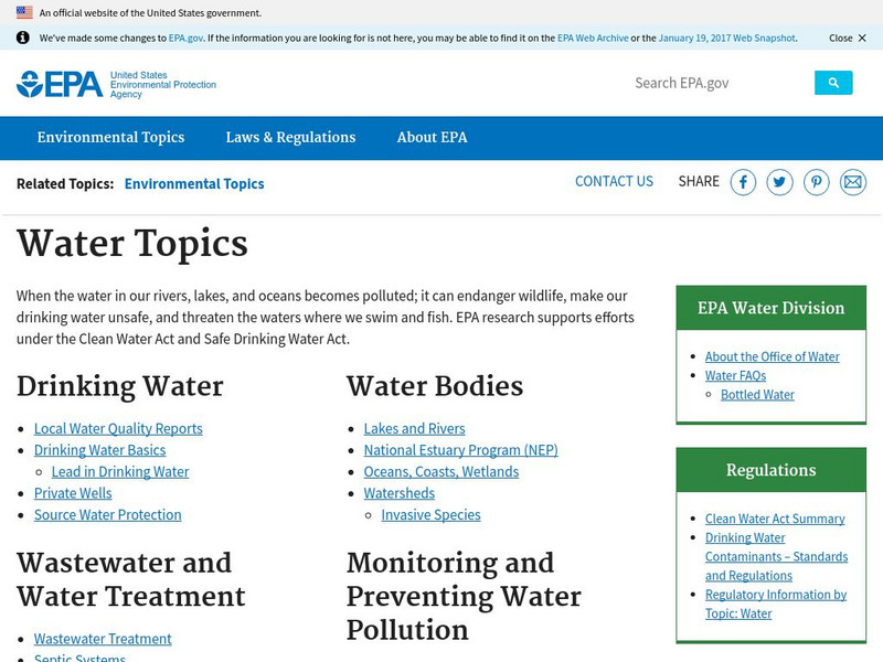
Epa: Water Resources: Water Bodies
Learn about EPA's work to protect and manage water resources and what you can do to help.
PBS
Pbs: American Experience: Panama Canal
Regarded as one of the seven wonders of the modern world, the Panama Canal opened for business on August 15, 1914. America's ingenuity and innovation had triumphed over insurmountable odds. PBS brings us this incredible story via online...
University of North Carolina
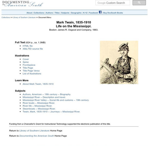
Mark Twain: Life on the Mississippi
Here, read Mark Twain's (1835-1910 CE) book, "Life on the Mississippi," which was originally published in 1883. Download two HTML versions of the text: one providing links to images in the original text and one with images included.
Curated OER
University of Texas: Democratic Republic of the Congo: Political Map
A political map the the Democratic Republic of the Congo that shows the province boundaries, major cities and highways, neighboring countries, and significant physical features. From the Perry Castaneda Collection.
PBS
Pbs Learning Media: Atchafalaya Bay Deltas
The Mississippi Delta is disappearing because of rising sea levels and the construction of levees, yet the deltas in the Atchafalaya Bay are growing. View this video from NASA showing images collected over 31 years showing the growth of...
Smithsonian Institution
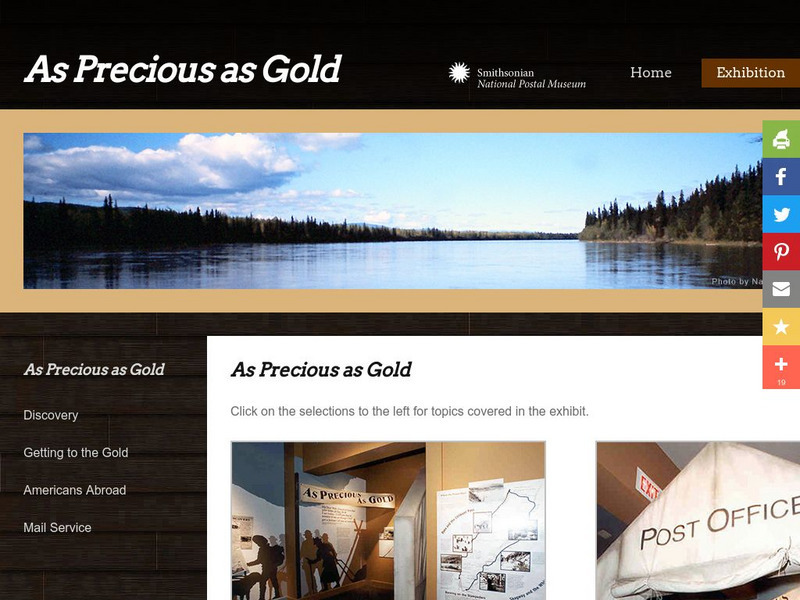
National Postal Museum: As Precious as Gold
"As Precious as Gold," is an online exhibit from the National Postal Museum which explores the rich history of the Alaskan/Klondike gold rushes. Find stories on extraordinary women, the trails, the Palm Sunday avalanche, the U.S. Postal...
Center for Innovation in Engineering and Science Education, Stevens Institute of Technology
Ciese Collaborative Projects: The Global Water Sampling Project
By testing your local water quality, you will be able to compare your results with students around the world. Register your class, and follow the project instructions. Additional teacher resources, references, and Ask-an-Expert sources...
BiologyWise
Biology Wise: Freshwater Biome Plants
Brief overview of types of freshwater biomes and the plants that live in them, as well as adaptations that plants have made in order to survive there.
US Geological Survey
Usgs: Water Science for Schools Water Science Storytime!
This U.S. Geological Survey website features a fictious town, Dryville, and uses it to illustrate every aspect of water management that you might encounter. Click Home to access the site in Spanish.
Biology Pages
Kimball's Biology Pages: Freshwater Ecosystems
A reference page describing freshwater ecosystems, lakes, ponds, and rivers.
Ducksters
Ducksters: Science for Kids: Freshwater Biome
Kids learn about the freshwater aquatic biome. Ecosystems such as rivers, streams, ponds, lakes, wetlands, swamps, and bogs.
Curated OER
Montreal and the Junction of the St. Lawrence and Ottawa Rivers, 1909
A map from 1909 of Montreal at the confluence of the Ottawa and St. Lawrence Rivers and vicinity, showing the city, railroads, the Island of Montreal, Isle of Jesus, Perrot Island, Riviere des Prairies, Lake St. Francis and Lake St....
Curated OER
Etc: Maps Etc: Buffalo, Rochester, and Albany, 1910
A series of maps from 1910 showing the overland waterways of New York, including the river route between Lake Erie and Lake Ontario near Buffalo and Niagara Falls, the route of the Erie Canal, the Hudson River between Troy and Albany,...
Curated OER
Etc: Maps Etc: Long Distance Routes Between St. Catharine and Quebec, 1902
A map from 1902 showing the principal commercial routes from Quebec to St. Catharine on the Niagara River showing all large business towns along the route with mileages between towns. The map also shows secondary, alternate, or...
PBS
Pbs Learning Media: How Innovation in Renewable Energy Protects the Environment: Lesson Plan
Picture your nearest river or lake. How do people use it? Are you happy with the way it is treated and its relationship to your community? In this PBS NewsHour lesson, students will explore inventions that harness the power of water to...
Pennsylvania State University
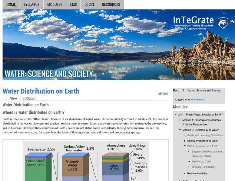
Earth 101: Distribution of Water on the Earth's Surface
The distribution of water on the Earth's surface is extremely uneven. Only 3% of water on the surface is fresh; the remaining 97% resides in the ocean. Of freshwater, 69% resides in glaciers, 30% underground, and less than 1% is located...
Curated OER
Etc: Maps Etc: Meanders in the Mississippi River, 1916
A map from 1916 of the vicinity of Vicksburg showing typical river meandering of the Mississippi River, including remnant river beds and oxbow lakes (Eagle Lake).
Curated OER
Educational Technology Clearinghouse: Maps Etc: Strathspey and Inverness, 1908
A detailed travel map of central Scotland from 1908, showing Nairn, Elgin, and portions of Banff and Inverness counties. The map shows first class and secondary roads, railways, cities, towns, ports, ferry routes, rivers, lakes, terrain...


![Pollution Probe: Mercury in the Environment [Pdf] Primary Pollution Probe: Mercury in the Environment [Pdf] Primary](https://static.lp.lexp.cloud/images/attachment_defaults/resource/large/FPO-knovation.png)


