Hi, what do you want to do?
Curated OER
Etc: French Explorations and Settlements, 1611 1764
A map of southern Canada, the Great Lakes region, and Mississippi River Valley to the Gulf of Mexico, showing the French explorations and settlements with dates given from between the establishment of Montreal by Champlain in 1611 to the...
Curated OER
Educational Technology Clearinghouse: Maps Etc: Peru and Bolivia, 1906
A map of Peru and Bolivia from 1906 showing the political boundaries at that time. The map shows the capital cities of Lima (Peru) and La Paz (Bolivia), major cities, towns, and ports, railroads, rivers, lakes, mountains and terrain, and...
Curated OER
Educational Technology Clearinghouse: Maps Etc: Orkney and Shetland, 1908
A detailed travel map of the Shetland Islands and Orkney Islands off the northern coast of Scotland from 1908, showing first class and secondary roads, cities, towns, ports, ferry and steamer routes, rivers, lakes, terrain and coastal...
Other
Ozark Mountains
Learn more about the lakes, rivers, caverns, and outdoor activities in the Ozark Mountains.
PBS
Pbs Learning Media: Quest: Water Pollution Investigation
Water pollution is the contamination of water resources by harmful wastes or toxins. This type of pollution can be dangerous to animals and plant populations in and around lakes, rivers, polluted groundwater areas or oceans, and can pose...
Globe Tracks
Travel for Kids: Peru
An excellent site containing exciting things to learn about Peru from a family tourism perspective. Explore things to do in Lima, the Andes, Lake Titicaca, the Amazon, and the North of Peru. Also, contains picks for children's books on...
Other
Montenegrin Association of America: Geography
A look at the geography of Montenegro from the Montenegrin Association of America. Includes a topographical map and pictures of the areas covered.
Polk Brothers Foundation Center for Urban Education at DePaul University
De Paul University: Center for Urban Education: My Father's Miracle [Pdf]
"My Father's Miracle" is a one page, fictional, reading passage about a child who learned that his father was one of the people responsible for reversing the direction of the Chicago River, making it flow to the Mississippi instead of...
Other
National Museum of Australia: Exploring the World at Port Macquarie
In this virtual museum exhibit, explore three different places in the town of Port Macquarie, Australia. Learn how the people investigated, recorded, and responded to the landscape there.
World Wildlife Fund for Nature
Wwf: Our Earth: Ecoregions: Habitats: Freshwater Wetlands
An introduction and overview of freshwater wetland habitats.
A-Z Animals
A Z Animals: Reference: Habitats: Freshwater
Learn about the plants, animals, and other characteristics of some freshwater ecosystems.
Andre Dollinger
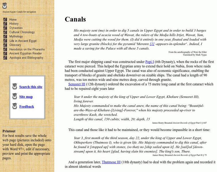
Reshafim.org: Canals
Presented textual evidence as resources on the functions of ancient Egyptian canals, this website offers a timeline of events and a map of the canals.
Math Science Nucleus
Math/science Nucleus: Observing Different Landforms
Lesson plan with subsequent pages to use with the lesson. Images with landform word match up and additional work on earth modeling.
Other
Alberta Riparian Habitat Management Society: Riparian Areas [Pdf]
The Alberta Riparian Habitat Management Society, also known as 'Cows and Fish', has produced this colourful pamphlet to teach about riparian areas, what they are, how they attract wildlife, their importance for fish, and how to assess...
Other
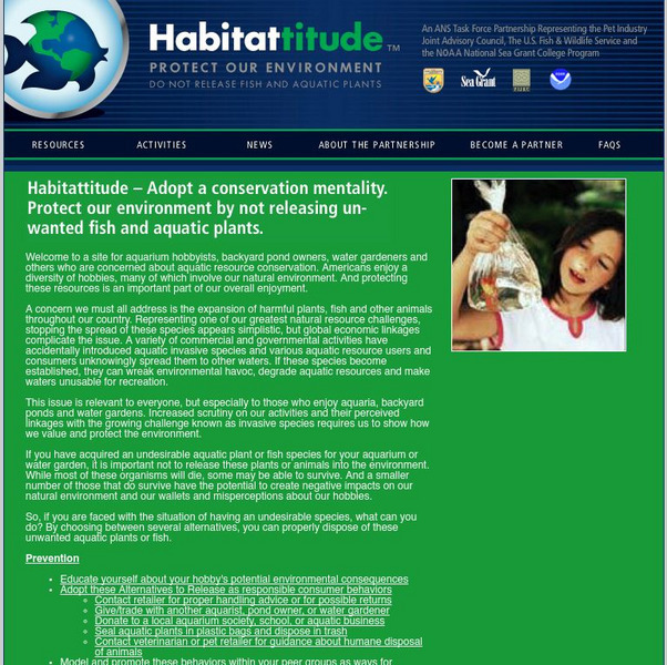
Aquatic Nuisance Species Task Force: Habitattitude
Dedicated to aquatic resource conservation, this task force addresses the expansion of harmful plants, fish, and other animals and invasive species
Able Media
Classics Tech Center: The Punic Wars
A simulation created by a social studies teacher illustrates the difficult decisions faced by both Hannibal and the Romans during and following the Second Punic War. Helps encourage critical thinking as well as retention of historical...
Then Again
Then Again: Web Chron: The Second Punic War
An extensive description from the North Park University of the Second Punic War. Read about Hannibal's strategy and use of war elephants, and his eventual defeat.
NSTATE
Netstate.com: The Geography of Arkansas
Quick facts about the geography of Arkansas including land area, highest and lowest points, elevations, lakes, rivers, regions, and climate.
PBS
Pbs Learning Media: Earth's Systems: The Water Planet
Observe different forms of water and how it covers about 75 percent of Earth's surface in this media gallery captured by NASA and the U.S. Geological Survey (USGS). Use the satellite and ground images in this resource to enhance student...
Curated OER
Educational Technology Clearinghouse: Maps Etc: Central Perthshire, 1908
A detailed travel map of Scotland from 1908, showing portions of counties Perth, Stirling, Clackmannan, Dumbarton, and Linlithgow. The map shows first class and secondary roads, railways, cities, towns, ports, canals, rivers, and terrain...
Curated OER
Educational Technology Clearinghouse: Maps Etc: Relief Map of Africa, 1890
A relief map from 1890 of Africa showing the major mountain, desert, river, and lake systems on the continent. "The whole continent is a moderately-elevated plateau surrounded of all sides by marginal mountains which either slope...
Curated OER
Educational Technology Clearinghouse: Maps Etc: Montreal, 1888
A map from 1888 of Montreal and vicinity showing the city, the Island of Montreal, St. Lawrence River, Isle of Jesus, Ottawa River, Riviere des Prairies, Sorel River, and Lake St. Louis, and the neighboring cities and towns of Longueil,...
Curated OER
Educational Technology Clearinghouse: Maps Etc: The Story of Africa, 1912
A stylized relief map of Africa, showing the Sahara, major rivers and lakes, mountains, "wild country," and other features. The Sahara is labeled as "The Great Desert that No Man Could Cross." with pyramids and temples drawn along the...
Curated OER
Educational Technology Clearinghouse: Maps Etc: Landforms of Australia, 1885
A color relief map of Australia showing the mountain and highland systems of Australia, including the Australian Alps, and the central lowlands. This map also shows the Murray River and other major rivers and lakes.


