Hi, what do you want to do?
Franco Cavazzi
Roman Empire Net: Pictorial Tour of Rome
This is a picture album of sites in Rome. Each site name listed links to a picture with a brief description.
Franco Cavazzi
Roman empire.net: Roman Empire Map
This site from Roman-Empire.net provides an interactive map of the Roman Empire. The expanse of the empire can be viewed by dates. The site can be searched by Provinces, Territories, Tribes, Towns, Cities, or Barbarian Incursions.
Franco Cavazzi
Roman empire.net: Roman Army Pictures
This site from Roman-Empire.net provides an illustration and brief description of the types of Roman soldiers, Roman forts, and siege engines.
Franco Cavazzi
The Roman Pantheon/ Roman Gods
A complete list of all the Roman Gods and Goddesses. The site contains the name of the God or Goddess, a picture, and the characteristics of the deity.
BBC
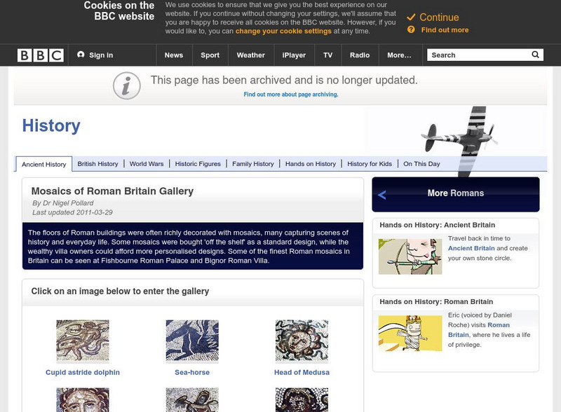
Bbc: History? A Collection of Roman Mosaics
A series of pictures of Roman mosaics taken from Roman ruins and sites in England. If you click on "Find Out More," you will get a print bibliography. Archived.
Franco Cavazzi
Roman empire.net: Roman Italy Map
This site from Roman-Empire.net is an interactive map of Roman Italy. Areas, Regions, Tribes, Towns, Cities, Rivers, Lakes, and Mountains can be searched for with pull-down menus.
Other
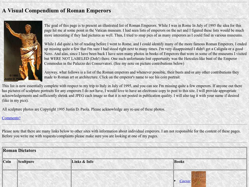
Roman Emperors: A Visual Compendium of Roman Emperors
Presents an illustrated list of Roman Emperors and their contributions to Roman Art. Shows sculptures and/or portraits from coins.
Other
Visulistan: Mapping the Empires of History #Infographic
This infographic maps the empires of history including the British Empire, the Mongol Empire, the Russian Empire, the Spanish Empire, the Umayyad Caliphate, the Portuguese Empire, the Achaemenid Empire (First Persian Empire), the Ottoman...
Curated OER
Educational Technology Clearinghouse: Clip Art Etc: Holy Roman Empire Poster
A poster of important images and facts about the Holy Roman Empire.
Curated OER
Science Kids: Science Images: Roman Empire Colosseum in Rome, Italy
The famous Colosseum in Rome, Italy was built over 2000 years ago. It was the largest amphitheatre built during the Roman Empire and could seat around 50000 people. It was home to many performance and gladiatorial contests and I now a...
Curated OER
Etc: Maps Etc: The Roman Empire Under Augustus, 27 Bc to Ad 14
A map of the extent of the Roman Empire under Augustus (63 BC to AD 14). The map is color-coded to show the territories, and uses Latin place names such as Mare Internum (Mediterranean Sea), Pontus Euxinus (Black Sea), and Danubius Fl....
Franco Cavazzi
The Roman Empire: Ancient Rome, Temple of Jupiter
This aerial map of Ancient Rome gives an overall picture of the city's buildings and structures. The Temple of Jupiter is colored red so the viewer can see where it is located in relation to other structures. But the map lacks labels and...
Friesian School
Fresian School: Animated History of Rome and Romania
This animated graphic, which is provided by the Fresian School, allows you to see how Rome grew and shrank between 300 BC and 1453 AD. The map changes in increments of about 50 years.
University of Michigan
University of Michigan: The Roman Site of Karanis, Egypt
This site from the University of Michigan deals with the excavations at Karanis, a city which was once under Rome's control.
Curated OER
Educational Technology Clearinghouse: Clip Art Etc: Roman Writing Materials
Writing materials from the Roman empire.
Tom Richey
Tom Richey: Power Point: The Five Good Emperors
Tom Richey uses humor in his slide presentation to informa and enlighten students on the history of Rome and the Five Good Emperors.
University of Oregon
Mapping History: European History
Interactive and animated maps and timelines of historical events and time periods in European history from Greek and Phoenician colonization up to the 20th century.
BBC
Bbc: History: Hadrian's Wall
A pictorial tour of Hadrian's Wall, this features a dozen pictures of the wall and the forts that were built into the wall. Click on "Find Out More," to get a print bibliography. Archived.
Curated OER
Etc: Maps Etc: England Under the Romans, 55 Bc to Ad 410
A map of England (Britannia) under the Roman Empire, from the time of the first invasion by Julius Caesar (55 BC) to the Roman withdrawal in AD 410. The Roman Period of control of Britannia is generally considered AD 43 to 410. On this...


