Hi, what do you want to do?
A&E Television
History.com: Before America Had Witch Trials, Europe Had Werewolf Trials
A few of the accused may have been actual pedophiles or serial killers, but many were beggars, hermits or recent emigres who were tortured into confessions. 200 years before the witch trials in Salem, Massachusetts, courts in Europe were...
The English Teacher
The English Teacher: Teaching the Scarlet Letter
This lesson plan-tutorial focuses on teaching vocabulary with literature through the book "The Scarlet Letter" by Nathaniel Hawthorne.
TES Global
Tes: Social and Historical Context: Witch Child
[Free Registration/Login Required] The article will provide schema for students who are reading Arthur Miller's play, The Crucible, or who are reading Celia Rees' Witch Child.
Civil War Home
Home of the American Civil War: Chancellorsville Campaign
A brief description of the Chancellorsville Campaign of April and May, 1863. From "Epic Battles of the Civil War" by Curtis M. Jingle, Michael R. Brasher, and Warren Von Worley.
University of Illinois
University of Illinois: Early Trade With China: Trading Strategies [Pdf]
Americans wanted to buy tea, silk, nankeen (a strong, coarse cloth used to make workclothes), and chinaware from China. To pay for these goods, it was necessary to find products that the Chinese would take in trade. Initially, Americans...
Success Link
Success Link: Witches' Brew: Mixing the 1950s and 1690s in a Crucible
Use this lesson plan as an introduction to a study of the play, The Crucible,to help students discover the link between the supposed topic of the play and the political situation in the United States when the play was written.
CommonLit
Common Lit: Text Sets: The American Colonies
Collection of 14 Grade-Leveled texts (4-11) on the topic "The American Colonies." What was life like for European settlers in the New World? How did American colonies function before the Revolutionary War? Explore life in the...
Curated OER
Bowditch House, North Street, Salem
Information about the work Nathaniel Bowditch did as a scientist, including his correction of 8,000 errors found in previously used navigational tables.
Curated OER
Nscc: Hawthorne in Salem
Contains a wealth of information about the writer pulled from a number of libraries around where he lived. Includes extensive biographical information as well as information about many of his works.
EL Education
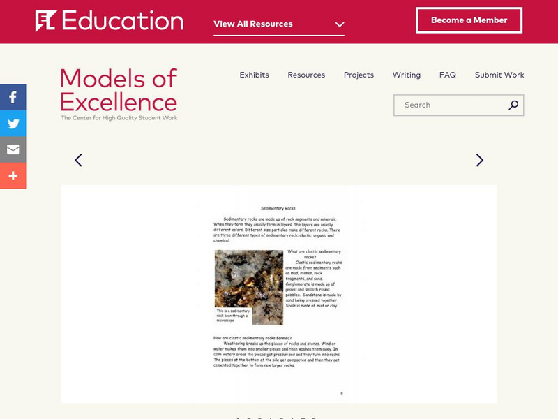
El Education: Geology for Kids
4th grade students from the Swift River Elementary School in New Salem, Massachusetts, created this field guide to local geology, featuring "Things to Know" and "Places to Visit", as part of a study of local geology and rocks and...
Shmoop University
Shmoop: The Crucible
Arthur Miller's play The Crucible is a re-enactment of the Salem Witch Trials. This fascinating site analyses the themes and characters in play.
Curated OER
Famous American Trials: Cotton Mather
This site from the University of Missouri-Kansas City provides information on the role of Cotton Mather in the Salem witchcraft trials. Discusses Mather's work "Memorable Providences," in which Mather discusses withcraft.
University of Pennsylvania
Univ. Of Penn: Hysteria and Ideology in "The Crucible"
This website, which is provided for by the University of Pennsylvania, reproduces an article by Richard Hayes from "Commonweal" in 1953. A good opportunity to see a review of "The Crucible" from the time the play originally appeared.
University of Groningen
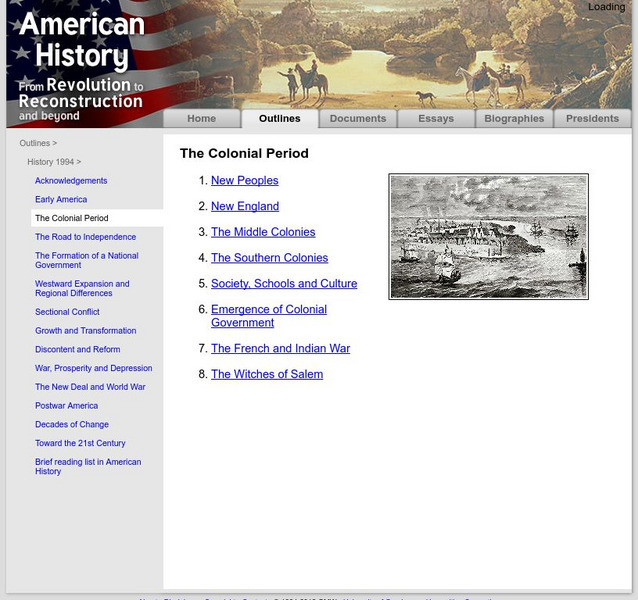
American History: Outlines: The Colonial Period
A brief discussion of the colonial period in the United States. Includes information on New England, the middle colonies, and the southern colonies. Also, find out about the early government, and the French and Indian War.
Shmoop University
Shmoop: The Scarlet Letter: In a Nutshell
This site analyses the novel in its historical context and provides a look into 17th century America.
Curated OER
Greek Revival House Profile
Salem, Massachusetts presents a line drawing of a Greek Revival house with labels detailing the unique features of this style. The text section expands on the information.
Curated OER
Educational Technology Clearinghouse: Maps Etc: Winthrop Map, 1633
A facsimile of a map by John Winthrop (1633) of the Boston area, including the Merrimac and Concord Rivers, Plum Island, and roads leading to Saugus, Salem, Winesemett, and Meadford. The map is oriented with north to the left.
Curated OER
Etc: New England Colonies, 1620 1638
A map of the New England colonies showing the early permanent Pilgrim settlements and their dates of establishment, including Plymouth (1620), Little Harbor, New Hampshire (1623), Pemaquid, Maine (1625), Salem, Massachusetts (1628),...
Curated OER
Etc: The Chief Settlements Made in New England, 1620 1675
A map of the New England region showing the chief early European settlements between 1620-1675. The map shows rivers, terrain and coastal features, the coastal settlements of Pemaquid, Saco, Dover, Portsmouth, Salem, Cambridge,...
Curated OER
Educational Technology Clearinghouse: Maps Etc: Boston and Vicinity, 1916
A map from 1916 of the vicinity of Boston, extending to Salem, Concord, Natick, Norwood, and Nantasket.
Curated OER
Educational Technology Clearinghouse: Maps Etc: Eastern Massachusetts, 1919
A road map of eastern coastal Massachusetts in the vicinity of Salem from the Official Automobile Blue Book (1919), keyed to show the best auto routes, other auto routes, unreported roads, railroads, and canals.
Curated OER
Educational Technology Clearinghouse: Maps Etc: Oregon, 1902
A map from 1902 of Oregon showing the capital of Salem, principal cities and towns, railroads, stage lines, mountains, rivers, and coastal features.
Curated OER
Educational Technology Clearinghouse: Maps Etc: Oregon, 1906
A map from 1906 of Oregon showing the capital of Salem, principal cities and towns, Indian reservations, railroads, mountain systems, lakes, rivers, and coastal features.
Other popular searches
- Salem Witch Trials
- Salem Witch Trials Cartoon
- Play Salem Witch Trials
- History Salem Witch Trials
- Salem Witchcraft
- The Salem Witch Trials
- Salem Witch Trials Skit
- Salem Witch Trails
- Salem Mass, Colonial Times
- Salem Which Trials
- Salem Witchcraft Trials
- Salem Village


