Curated OER
Educational Technology Clearinghouse: Maps Etc: Salem Business District, 1919
A road map detailing the business district of Salem, Massachusetts, from the Official Automobile Blue Book (1919), showing the streets, major landmarks, street car lines, and the suggested Blue Book route.
Curated OER
Wikipedia: Natl Historic Landmarks in Nc: Old Salem Historic District
An image of the Old Salem Historic District.
Curated OER
Wikipedia: National Historic Landmarks in North Carolina: Salem Tavern
An image of the Salem Tavern.
Curated OER
Eye Witness to History: The Salem Witch Trials, 1692
This EyeWitness to History site, which illuminates the past through personal narratives and other first-hand sources, details the Salem Witch Trials.
Curated OER
Eye Witness to History: The Salem Witch Trials, 1692
This EyeWitness to History site, which illuminates the past through personal narratives and other first-hand sources, details the Salem Witch Trials.
Curated OER
Wikipedia: National Historic Landmarks in Massachusetts: Peabody Museum of Salem
Now embedded within the Peabody Essex Museum, the East India Marine Hall was built in the 1820s. The museum traces its lineage to the 1799 East India Marine Society, claiming to be the nation's oldest continuously operating museum.
Other
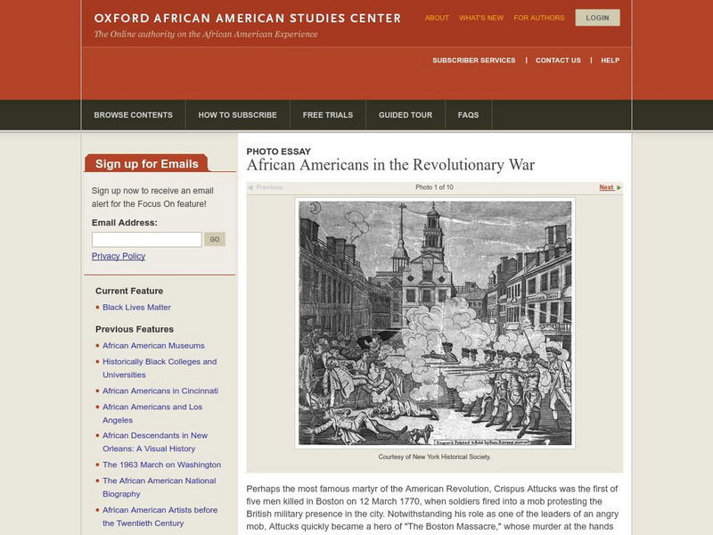
Oxford Aasc: African Americans in the Revoluionary War
A great display of paintings along with commentary about ten African Americans who were involved in the Revolutionary War era.
Curated OER
Bowditch House, North Street, Salem
Information about the work Nathaniel Bowditch did as a scientist, including his correction of 8,000 errors found in previously used navigational tables.
Curated OER
Nscc: Hawthorne in Salem
Contains a wealth of information about the writer pulled from a number of libraries around where he lived. Includes extensive biographical information as well as information about many of his works.
Curated OER
Famous American Trials: Cotton Mather
This site from the University of Missouri-Kansas City provides information on the role of Cotton Mather in the Salem witchcraft trials. Discusses Mather's work "Memorable Providences," in which Mather discusses withcraft.
Curated OER
Greek Revival House Profile
Salem, Massachusetts presents a line drawing of a Greek Revival house with labels detailing the unique features of this style. The text section expands on the information.
Curated OER
Educational Technology Clearinghouse: Maps Etc: Winthrop Map, 1633
A facsimile of a map by John Winthrop (1633) of the Boston area, including the Merrimac and Concord Rivers, Plum Island, and roads leading to Saugus, Salem, Winesemett, and Meadford. The map is oriented with north to the left.
Curated OER
Etc: New England Colonies, 1620 1638
A map of the New England colonies showing the early permanent Pilgrim settlements and their dates of establishment, including Plymouth (1620), Little Harbor, New Hampshire (1623), Pemaquid, Maine (1625), Salem, Massachusetts (1628),...
Curated OER
Etc: The Chief Settlements Made in New England, 1620 1675
A map of the New England region showing the chief early European settlements between 1620-1675. The map shows rivers, terrain and coastal features, the coastal settlements of Pemaquid, Saco, Dover, Portsmouth, Salem, Cambridge,...
Curated OER
Educational Technology Clearinghouse: Maps Etc: Boston and Vicinity, 1916
A map from 1916 of the vicinity of Boston, extending to Salem, Concord, Natick, Norwood, and Nantasket.
Curated OER
Educational Technology Clearinghouse: Maps Etc: Eastern Massachusetts, 1919
A road map of eastern coastal Massachusetts in the vicinity of Salem from the Official Automobile Blue Book (1919), keyed to show the best auto routes, other auto routes, unreported roads, railroads, and canals.
Curated OER
Educational Technology Clearinghouse: Maps Etc: Oregon, 1902
A map from 1902 of Oregon showing the capital of Salem, principal cities and towns, railroads, stage lines, mountains, rivers, and coastal features.
Curated OER
Educational Technology Clearinghouse: Maps Etc: Oregon, 1906
A map from 1906 of Oregon showing the capital of Salem, principal cities and towns, Indian reservations, railroads, mountain systems, lakes, rivers, and coastal features.
Curated OER
Educational Technology Clearinghouse: Maps Etc: Oregon, 1909
A map from 1909 of Oregon showing the capital of Salem, principal cities and towns, Indian reservations, railroads, mountain systems, lakes, rivers, and coastal features.
Curated OER
Educational Technology Clearinghouse: Maps Etc: Oregon, 1919
A map from 1919 of Oregon showing the capital of Salem, principal cities and towns, Indian reservations, railroads, mountain systems, lakes, rivers, and coastal features.
Curated OER
Educational Technology Clearinghouse: Maps Etc: Oregon, 1922
A map from 1922 of Oregon showing the capital of Salem, principal cities and towns, Indian reservations, railroads, mountain systems, lakes, rivers, and coastal features.
Curated OER
Educational Technology Clearinghouse: Maps Etc: Oregon, 1892
A map from 1892 of Oregon showing the capital of Salem, counties and county seats, principal cities and towns, railroads, mountain systems, lakes, rivers, and coastal features.
Other popular searches
- Salem Witch Trials
- Salem Witch Trials Cartoon
- Play Salem Witch Trials
- History Salem Witch Trials
- Salem Witchcraft
- The Salem Witch Trials
- Salem Witch Trials Skit
- Salem Witch Trails
- Salem Mass, Colonial Times
- Salem Which Trials
- Salem Witchcraft Trials
- Salem Village

