Hi, what do you want to do?
Curated OER
Earthquakes: Learn From the Past, Prepare for the Future
Students examine the destruction caused by earthquakes. In this community safety activity, students examine the risk involved in living in an earthquake zone and how to prepare for future earthquakes.
Curated OER
California Electricity Crisis
High schoolers study the causes of electricity shortage in California in 2000-2001. In this social studies instructional activity, students evaluate the effect of the deregulation process. They discuss the actions taken by the government...
Curated OER
Standard Deviation
Students find city temperatures and analyze their means to find the standard deviation. They calculate the standard deviation of monthly temperature means.
Curated OER
Narrative History - Hypertext Dialogues
Students create scripts about California settlers. The document reflects the settlers' fears, expectations, and realizations.
Curated OER
Habitat Hopscotch
Third graders explore animal characteristics by participating in a bat environment game. In this natural habitat instructional activity, 3rd graders identify the physical anatomy of a bat and discuss their eating and sleeping habits....
McGraw Hill
Using Pronouns Correctly
In this pronoun usage worksheet, learners correct sentences by eliminating the inappropriate use of the pronoun you. The students then correct the sentences by adding either a third-person pronoun or a suitable noun to replace the...
Curated OER
Is Social Media a Trustworthy News Outlet?
Examine the role of social media in social and political uprisings. Pupils listen to NPR audio clips about social media and the Arab Spring and read an article that proposes the idea that revolution will not happen through social media....
Curated OER
Geography of the United States
Students examine the population growth of the United States. In this Geography lesson, students construct a map of the fifty states. Students create a graph of the population of the USA.
Curated OER
America the Beautiful
Students analyze the physical geography of the United States and how we have adapted to or altered the land to create the country we know today. Students complete maps with physical features, states and cities of interest.
Curated OER
Use of Lasers
Pupils explore the use of lasers. In this "lasers" science and career education lesson, students search the Internet to find uses for lasers and make a list of companies that use or produce lasers. Pupils complete a lasers and making...
Curated OER
The Uluburun Late Bronze Age Shipwreck
Students use the Internet to research Minoan and Mycenaean trade. In groups, they develop a chart showing the goods that were exported and imported. Using primary source documents, they examine the materials found in the wreckage of the...
Curated OER
Aluminum Can Drive
Second graders complete a recycling project to clean-up their school. In this service project activity, 2nd graders assess their campus for litter, set up a recycling project, clean up their campus, and recycle the trash. Students also...
Curated OER
Building New Landforms
For this landform worksheet, students read 6 paragraphs about the process the Dutch used to build new landforms and threats they face today. After reading the background information, students complete 3 short answer questions regarding...
Other
San Francisco Bay Area Wetlands Restoration Program
Homepage for the massive wetlands restoration project in San Francisco Bay. History, objectives, and benefits of the project are described.
Exploratorium
Exploratorium: Loma Prieta, Bay Area, Earthquake 1989
This outstanding multimedia site documents the earthquake and related events that took place on October 17, 1989 in the San Francisco Bay Area.
Purdue University
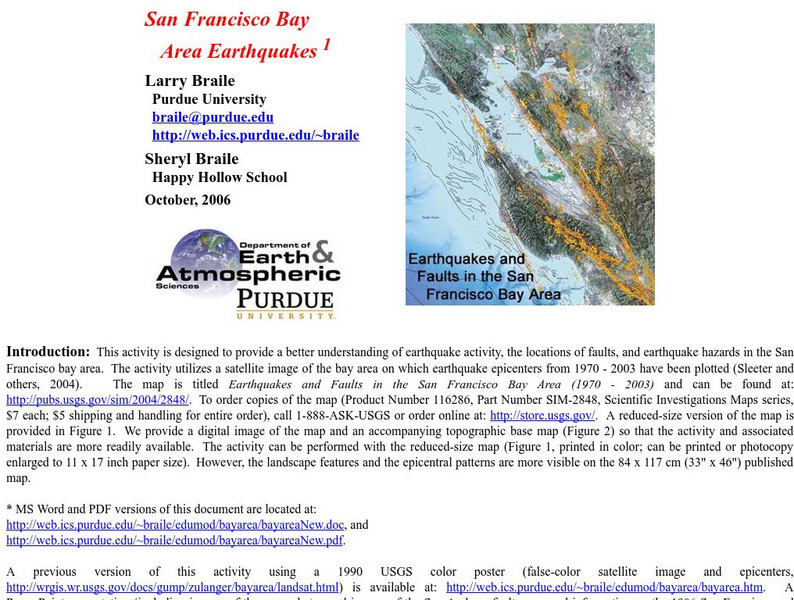
Purdue University: San Francisco Bay Area Earthquakes
Students use geologic fault maps of the San Francisco Bay Area to find relationships between tectonic plate fault lines and landscape features, topographic features, and epicenters of past earthquakes.
Oakland Museum of California
Guide to San Francisco Bay Area Creeks
This is a very useful site for finding information about San Francisco's rivers and streams, which gives some background information and a map.
US Geological Survey
U.s. Geological Survey: Landslide Danger in the San Francisco Bay Area
Download a movie about the 1982 landslides of the San Fransisco Bay Area. Shows many devastating stories, scientific discoveries, and the destruction the landslides caused. [58:27]
Google Cultural Institute
Google Cultural Institute: The Civil Rights Movement in the Bay Area
Photographs and news stories highlight the social change and protest that occurred during the Civil Rights movement in the San Francisco Bay area from 1960-1965.
Curated OER
Educational Technology Clearinghouse: Maps Etc: San Francisco Bay, 1911
A map from 1911 of the San Francisco Bay area showing the Golden Gate, San Francisco Bay, San Pablo Bay, Suisun Bay, the mouth of the Sacramento River, Alcatraz Island, Mount Diablo, the cities of San Francisco, Oakland, San Jose, and...
Curated OER
Educational Technology Clearinghouse: Maps Etc: San Francisco Bay, 1901
A map from 1901 of the San Francisco Bay area showing San Francisco and Oakland, roads, wharfs, shoreline features, islands, and the coastal ridges.
Curated OER
Educational Technology Clearinghouse: Maps Etc: San Francisco Bay, 1903
A map from 1903 of the San Francisco Bay area, showing roads, railroads, local jurisdictions, and physical features. The map pre-dates the bridge system of the bay, including the Golden Gate Bridge started in 1933.
Curated OER
Wikipedia: Natl Historic Landmarks in Ca: San Francisco Bay Discovery Site
On November 4, 1769 the expedition of Spanish explorer Gaspar de Portola reached the summit of the 1,200-foot (370 m) high Sweeney Ridge, where he sighted San Francisco Bay. It is now part of the Golden Gate National Recreation Area.
Curated OER
National Park Service: Alcatraz Island
Part of the Golden Gate National Recreational Area, Alcatraz Island is located in the San Francisco Bay. Originally a lighthouse and military fort, the island is best known for being a federal prison. The island is packed full of...


