Curated OER
Craters!
Eighth graders examine the formation of craters. In this craters lesson, 8th graders discover the various energies involved in the formation of a crater, where you can find a crater in the Solar System, and observations of craters on the...
Science Education Resource Center at Carleton College
Serc: Annotating Change in Satellite Images
This chapter walks you through a technique for documenting change detected in before-and-after sets of satellite images. The technique can be used for any set of images that show the same area at the same scale at different times.
Science Education Resource Center at Carleton College
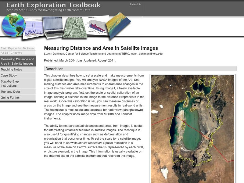
Serc: Measuring Distance and Area in Satellite Images
Young scholars will select from a series of Satellite images of the Aral Sea from 1973 through 2003 and will measure changes in the area of the lake and distance across the lake over time.
US Geological Survey
Usgs Earthshots: Satellite Images of Environmental Change
A remarkable website that provides satellite images of various places on earth from 1972 to present. The student can see and read about environmental changes to the earth's environment.
US Geological Survey
Usgs: Earth Now! Landsat Image Viewer
On this real-time site, the U.S. Geological Survey shares LANDSAT satellite images. The LANDSAT Program is managed by NASA and the U.S. Geological Survey.
Other
Zoom Earth: Aerial and Satellite Images
Type in the location you are searching for, and satellite imagery will produce an aerial map for you. Helps students better understand these concepts by providing a visual for them.
Other
Satellite Images Bridge Understanding Gap Between Climate Change and Individuals
This article discusses how Google Earth has brought the reality of climate change to the average person so that they can see it for themselves. The north and south poles are indicators of what is happening with climate change and an...
NASA
Nasa: Imagers: Echo Goes to Arizona!
NASA site follows Echo the Bat as he travels through Arizona using false-color satellite images.
Science Education Resource Center at Carleton College
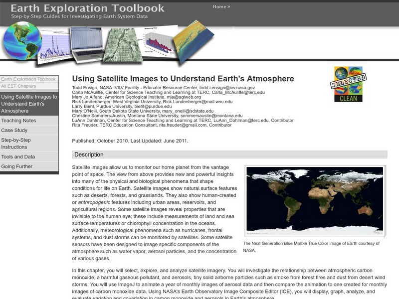
Serc: Using Satellite Images to Understand Earth's Atmosphere
This lesson helps students select, explore, and analyze satellite imagery. Students investigate the relationship between atmospheric carbon monoxide and aerosols. Incorporate ImageJ to animate a year of monthly images of aerosol data and...
NASA
Nasa: Aerial Photography: The Adventures of Amelia the Pigeon
An animated adventure story, developed by NASA, that helps children understand earth science concepts by using satellite photography and other types of aerial photographs to identify physical features on the surface of the earth. Teaches...
European Space Agency
European Space Agency: Esa Kids: Earth: Natural Disasters: Satellites Help Japan
A brief explanation of how satellite images are used to record and monitor the damage caused by a natural disaster, in this case the Japanese earthquake and tsunami of March 24, 2011.
Fourmilab Switzerland
John Walker: Satellite Image of Melbourne, Australia
A satellite image of Melbourne, Australia at night.
Seeker
Seeker: Week of 6 30 14: Us Air Is Getting Cleaner
Learn about the satellite images showing an improvement of the quality of air in the United States.
US Geological Survey
Usgs: Pocket Texas Geology
The interactive map from the USGS, along with the Texas Natural Resources Information System (TNRIS) and the Texas Bureau of Economic Geology, provides satellite images of Texas' rock units, members, faults, and map sheets. Explore Texas...
American Geosciences Institute
American Geosciences Institute: Earth Science Week: Engineer a Satellite
In this lesson, students will construct a scale model of a satellite by researching what scientific instrument to put on it and how to power it.
University Corporation for Atmospheric Research
Ucar: Satellite Storm Search
Young scholars investigate a physical model to explore how satellite data impacts weather monitoring and forecasting.
NASA
Nasa: Imagers: Teacher's Guide
NASA site provides a thematic unit on Remote Sensing targeted for students in grades 5-8. Within the unit, users will find lesson plans, reproducible worksheets, visuals, and links to useful resources.
NASA
The Adventures of Echo the Bat
Remote sensing, false-color satellite images, and the electromagnetic spectrum are all covered in this fun site about Echo the bat. These topics are addressed in both a story book and text book fashion and are supported by a full set of...
Science Education Resource Center at Carleton College
Serc: Exploring and Animating Goes Images
Students learn how to transform a series of GOES images into an animation, and how to create a storm track from that animation. By synthesizing information from the track and other sources, students determine storm speed and direction.
US Geological Survey
Us Geological Survey: Satellite Image Atlas of Glaciers of the World
This site provides information on glaciers from around the world. Its two-page fact sheet can be downloaded as a PDF file.
Gulf of Maine Research Institute
Gulf of Maine Aquarium: Comparing Oceans: Warm Up to the Gulf Stream
This site features some background information and a satellite image of the Gulf Stream that you can analyze using information also given at the site. There is a link to an activity about the formation of eddies along the Gulf Stream as...
US Geological Survey
U.s. Geological Survey: Land Use History and Changing Landscapes
This resource provides links that overview the history of land use in the United States. Numerous satellite images of different areas are provided.
US Geological Survey
U.s. Geological Survey: Desertification
Read about the destructive process of desertification and how this impacts human beings, how satellite images provide data to document what is happening, and some solutions that have been developed to combat the problem.
NASA
The Story of Echo the Bat
"Follow Echo the Bat through Arizona and learn about remote sensing and use false-color satellite images to help you find Echo."
Other popular searches
- Satellite Imagery
- Hurricane Satellite Images
- Infrared Satellite Imagery
- Image Satellite
- Aerial and Satellite Imagery
- Satellite Images of Erosion
- Science Satellite Imagery
- Satellite Imagery Weather Maps
- Octagonal Image Satellite


