Curated OER
Geology.com: Chile Map Chile Satellite Image
Check out this great satellite image of Chile from Google Earth. Scroll past the informative political map to see the image. There is more information about the country below the satellite map.
Curated OER
Geology.com: Argentina Map Argentina Satellite Image
Check out this great satellite image of Argentina from Google Earth. Scroll past the informative political map to see the image. There is more information about the country below the satellite map.
Curated OER
Geology.com: Ecuador Map Ecuador Satellite Image
Check out this great satellite image of Ecuador from Google Earth. Scroll past the informative political map to see the image. There is more information about the country below the satellite map.
Curated OER
Geology.com: Peru Map Peru Satellite Image
Check out this great satellite image of Peru from Google Earth. Scroll past the informative political map to see the image. There is more information about the country below the satellite map.
Curated OER
Geology.com: Burma Map: Burma Satellite Image
An easy to read political map of Burma. Be sure to scroll down to see a satellite image of Burma from Google Earth. You can also find some facts about Burma at the bottom of the page.
Center for Educational Technologies
Severe Weather: Hurricane Watch
Hurricanes are the most powerful of storms. Using satellite images, this site allows you to plot the path of a hurricane and predict when it will strike land.
Fourmilab Switzerland
John Walker: Earth and Moon Viewer and Solar System Explorer
This website provides numerous images of the Earth and moon, shown from various vantage points.
NASA
Nasa Earth Observatory: El Nino's Extended Family Introduction
This article discusses cycle of global weather patterns and its relation to El Nino. Learn how global weather patterns are being tracked by satellites and how scientists are predicting weather patterns up to a year in advance.
NOAA
Noaa: Life Saving Satellites [Pdf]
Discover how satellites that orbit the Earth can save lives. Then use images obtained by satellites to construct a three-dimensional paper model of the Earth.
PBS
Pbs News Hour Extra: Satellites Orbit the Sun to Better Predict Solar Storms
For the first time, NASA scientists have generated a full image of the sun, front and back, using twin orbiting satellites. The new view of Earth's star will allow for the study of solar weather events like coronal mass ejections that...
Smithsonian Institution
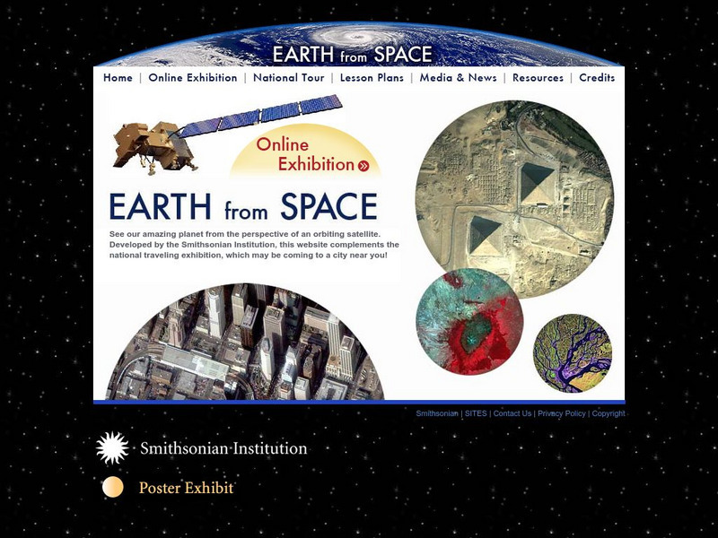
Smithsonian: Earth From Space
You may not have seen the monsoon rains in India or Mount Taranaki in New Zealand, but thanks to the Smithsonian's online exhibit, it's easy to observe the earths natural and man made features. Click on "Online Exhibition" to view and...
Science Education Resource Center at Carleton College
Serc: Investigating the Ocean Algal Blooms
This NOAA computer-based activity is designed to teach students in grades 9-12 how satellite imagery and remote sensing can be used to monitor harmful algal blooms (HABs). This lesson teaches students how to read and interpret satellite...
University of Guelph
Canada's Polar Environments
This site is a set of images along with volumes of information make this site a treasure trove. The site has satellite images.
PBS
Pbs Learning Media: Mount St. Helens: Before and After
This multimedia resource produced for Teachers' Domain chronicles the 1980 volcanic eruption of Mount St. Helens. Featured are still images of the devastation, video of the eruption plume, and before-and-after satellite images of the...
Nature Conservancy
The Nature Conservancy: Introduction to Sustainable Forestry
In this lesson, students interact with Google Earth to identify forests that have been logged selectively versus those that have not. They also learn how to distinguish the appearance of forestry methods in satellite images.
Smithsonian Institution
National Air and Space Museum: Exploring the Planets: Venus
Get the facts on Venus. Resource offers a variety of satellite images and facts about the structure and features of Venus.
Other
Weather Underground: The Authority in Expert Weather
Weather maps, forecasts, radar, NEXRAD, satellite images, and lifestyle weather reports for the United States and world. Includes Dr. Dewpoint and Weather 101 sections for educational use.
Planetary and Space Science Centre
Passc: Earth Impact Database
A comprehensive site which allows you to do research on any impact crater found on the Earth. You can sort them by name, size or age. The site also contains maps of the continents marked with the locations of each crater. Satellite...
PBS
Pbs Learning Media: Deforestation in Bolivia
This visualization adapted from NASA features two satellite images from 1984 and 2000 that show the dramatic deforestation of the Bolivian rainforest. Includes background reading material and discussion questions.
Curated OER
Kazakhstan Satellite Photo
Check out this great satellite image of Kazakhstan from Google Earth. Scroll past the informative political map to see the image. There is more information about the country below the satellite map.
Curated OER
Kyrgyzstan Satellite Photo
Check out this great satellite image of Kyrgyzstan from Google Earth. Scroll past the informative political map to see the image. There is more information about the country below the satellite map.
Curated OER
China Satellite Photo
Check out this great satellite image of China from Google Earth. Scroll past the informative political map to see the image. There is more information about the country below the satellite map.
Curated OER
Kuwait Satellite Photo
Check out this great satellite image of Kuwait from Google Earth. Scroll past the informative political map to see the image. There is more information about the country below the satellite map.
Curated OER
Albania Satellite Photo
Check out this great satellite image of Albania from Google Earth. Scroll past the informative political map to see the image. There is more information about the country below the satellite map.
Other popular searches
- Satellite Imagery
- Hurricane Satellite Images
- Infrared Satellite Imagery
- Image Satellite
- Aerial and Satellite Imagery
- Satellite Images of Erosion
- Science Satellite Imagery
- Satellite Imagery Weather Maps
- Octagonal Image Satellite


