NASA
Nasa: The Solar and Heliospheric Observatory (Soho)
NASA provides a detailed overview of the Solar and Heliospheric Observatory (SOHO), currently orbiting the sun and gathering information on the sun's structure, composition and dynamics. Site includes images, movies, data, solar lessons,...
NOAA
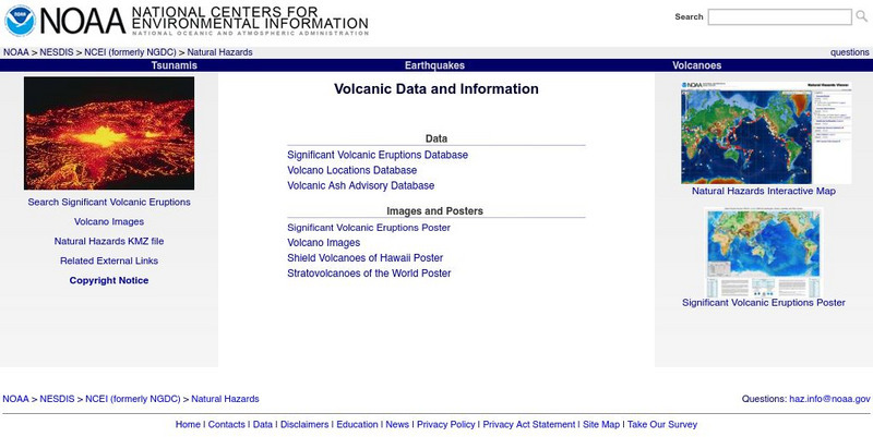
Noaa: Volcano Data at National Geophysical Data Center
National data bases provide information on significant volcanic eruptions, volcano location, volcano images, volcanic ash advisory, and satellite monitoring of volcanoes.
NASA
Nasa: Earth Observatory
The purpose of NASA's Earth Observatory is to provide new satellite imagery and scientific information about our home planet to the public. The focus is on Earth's climate and environmental change.
NASA
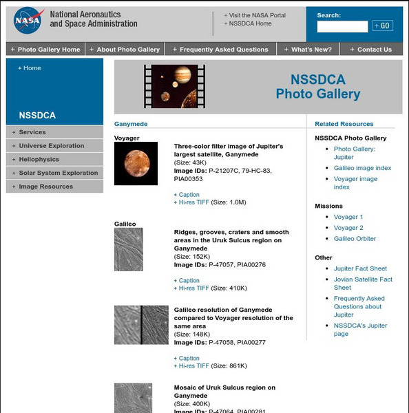
Nasa Space Science Data Archive: Photo Gallery: Ganymede
NASA offers acollection of the best images of Ganymede taken by Voyager and Galileo spacecraft. Includes links to all Voyager and Galileo images and information about the missions. Full captions for each image provides lots of...
NASA
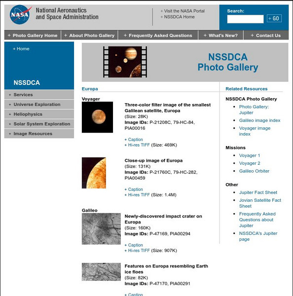
Nasa Space Science Data Archive: Photo Gallery: Europa
This NASA page is a collection of thumbnail images of Europa taken by the Voyager and Galileo missions. Thumbnails link to low and high resolution image files and complete caption files. Images are excellent examples of various surface...
NASA
Nasa Space Science Data Archive: Photo Gallery: Galileo
A well-indexed collection of NASA images taken by the Galileo spacecraft. Images include the spacecraft itself prior to launch and all of the solar system objects this incredible mission has visited.
Science Buddies
Science Buddies: Using the Soho to Determine the Rotation of the Sun
This project shows you how to use images from an orbiting observatory to measure how fast the Sun rotates.
NASA
The Solar Data Analysis Center (Sdac)
The Solar Data Analysis Center at NASA provides all the latest information learned about the sun. Content includes a look at information brought back by several satellites.
NASA
Nasa Jpl: Galileo Legacy Site
This site from NASA provides a detailed overview for the Galileo mission to Jupiter. Content ranges from the mission description to Jupiter images to educational resources.
Curated OER
Science Kids: Science Images: Hurricane Katrina
This photo shows a satellite image of the destructive Hurricane Katrina as it makes its way over both the ocean and the coast of the USA.
Curated OER
Science Kids: Science Images: Amazon River, South America
Spanning seven different countries in South America, the Amazon River is one of the longest rivers in the world. It reaches around 6400 kilometres (4000 miles) in length. This is a satellite image showing the mouths of the Amazon River...
Curated OER
Science Kids: Science Images: Ganges River Delta
This NASA satellite image shows the Ganges River Delta. The Ganges River flows through India and Bangladesh. For more information on rivers, check out the ten longest rivers in the world or our fun river facts for kids.
Curated OER
Science Kids: Science Images: Indian Ocean
This is a satellite image of the Indian Ocean, the third largest ocean in the world. For more information on the Indian Ocean and other oceans of the world, check out our fun ocean facts for kids.
Curated OER
Science Kids: Science Images: Indus River
This NASA satellite image shows the Indus River basin. The Indus River flows through China, India and Pakistan and is 3180 kilometres (1976 miles) in length. For more information on rivers, check out the ten longest rivers in the world...
Curated OER
Science Kids: Science Images: Nile River Delta
This is an amazing satellite image of the Nile River Delta as seen from orbit. Located in North East Africa, the Nile River is largely agreed to be the longest river in the world, reaching 6650 kilometres (4132 miles) in length. For more...
Curated OER
Science Kids: Science Images: Pacific Ocean
This is a satellite image of the Pacific Ocean, the largest ocean in the world. For more information on the Pacific Ocean and other oceans of the world, check out our fun ocean facts for kids.
Curated OER
Science Kids: Science Images: Great Barrier Reef
This beautiful satellite image shows the Great Barrier Reef in Australia. The Great Barrier Reef is the world's largest reef system and also the world's largest living structure. It is located off the coast of north-eastern Australia....
Other
University of Alabama: M31: The Andromeda Galaxy
View satellite photographs of the Andromeda Galaxy.
Curated OER
Science Kids: Science Images: Satellite Dish
A photo of two huge satellite dishes aimed into space that are used for research in the field of space and astronomy.
Library of Congress
Loc: America the Beautiful
A resource page of online map resources, lesson plans, students activities and the transcript of a live chat on the geography of the United States.
Other
University of Alabama: Alabama Maps
This page contains 3575 maps of Alabama. Includes historical and contemporary maps.
Other
Geology.com: United States of America
The following website includes a satellite image of the United States. It also includes a list of bordering countries, cities, locations, natural resources, natural hazards, and environmental issues.
Johns Hopkins University
Johns Hopkins University: Arizona State Maps
This site from the Johns Hopkins University Applied Physics Laboratory provides several maps of Arizona including a county map, shaded relief map, and a satellite image.
Johns Hopkins University
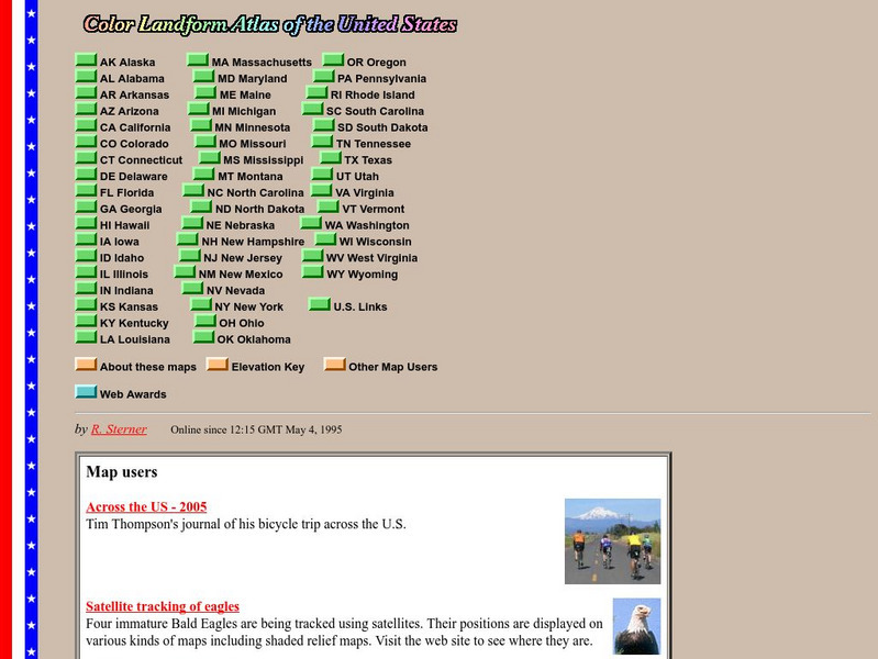
John Hopkins University: Color Landform Atlas of the u.s.
This site from John Hopkins University provides detailed maps of and physical information on each of the 50 states. Maps range from relief maps to satellite images, to historical maps.
Other popular searches
- Satellite Imagery
- Hurricane Satellite Images
- Infrared Satellite Imagery
- Image Satellite
- Aerial and Satellite Imagery
- Satellite Images of Erosion
- Science Satellite Imagery
- Satellite Imagery Weather Maps
- Octagonal Image Satellite


