Curated OER
Satellite Image of Flooding in New Orleans, August 2005
In-depth coverage of Hurricane Katrina from the BBC. Photographs, animated maps, video clips, and other resources can be found.
Other
Sea Launch
This corporation launches rockets for businesses interested in a cost effective, reliable solution for sending satellites into orbit. Information, images, and detailed specifications can all be found here.
Other
Yohkoh Public Outreach Project: Yohkoh Movie Theater
The Yohkoh Public Outreach Project provides images, movies, and tours depicting our nearest star, the Sun. Content includes a wealth of information, learning activities, and much more.
Space Telescope Science Institute
Hubble Site: Hubble Monitors Weather
This site is from Hubblesite which is provided by the National Aeronautics and Space Administration. "What's the weather for Mars and Venus? The Hubble telescope has given astronomers a peak." Site provides images, video as well as...
NASA
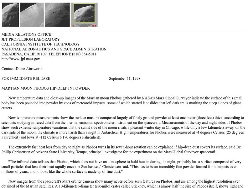
Nasa: Martian Moon Phobos Hip Deep in Powder
This press release from NASA, based on data from the Mars Global Survey/Mars Orbiter Camera describes Mars' moon Phobos. Included are small thumbanil images that link to more detailed GIF files.
NASA
Nasa Space Place: All About the Moon
Learn all about the moon, what makes it glow, and its phases. Includes some exciting images.
Other
Climate Change Institute: Climate Reanalyzer
Using interfaces for reanalysis and historical station data, the Climate Reanalyzer provides an intuitive platform for visualizing a variety of weather and climate data sets and models.
American Geosciences Institute
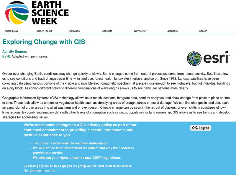
American Geosciences Institute: Earth Science Week: Exploring Change With Gis
Gives an overview of how Geographic Information Systems technology is used to monitor changes in conditions on the Earth. Provides a link to the website with lessons on using GIS. (Due to site changes, you may need to search for teachers...
Science Education Resource Center at Carleton College
Serc: Visualizing Carbon Pathways
This lesson plan introduces students to visualization capabilities available through NASA's Earth Observatory, global map collection, NASA NEO and ImageJ. Students build several animations of satellite data that illustrate carbon...
Johns Hopkins University
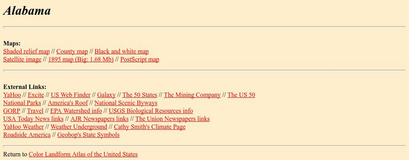
Johns Hopkins University: Alabama State Maps
Check out this site from the Johns Hopkins University Applied Physics Laboratory for several different types of maps for the state of Alabama. You can find everything from a county map to a shaded relief map. If you are looking for map...
University of Illinois
University of Illinois Urbana Champaign: Stages of a Hurricane
The 3 stages of a hurricane are described with drawings. There are links provided to more information about each particular stage.
Science Education Resource Center at Carleton College
Serc: How Does the Temperature of the Great Lakes Change Over Time?
This activity allows students to use water surface temperature, bathymetric data, and weather data to look at trends in the water temperature of the Great Lakes.
Social Studies for Kids
Social Studies for Kids: Latitude and Longitude
A collection of latitude and longitude mapping activities ranging from pin-pointing exact locations on the globe to researching the history behind this basic geography concept.
NASA
Nasa Space Science Data Archive: Photo Gallery: Jupiter
Images of Jupiter and its moons. Thumbnails lead to small JPEG graphic files. Some link to large, high-resolution TIFF files. Nearly all have a detailed caption file link.
Other
Discover and Learn: The Asteroid Belt
Read a very brief article on the asteroid belt. Includes an image of an asteroid, as well as a chart showing the asteroid belt's location in relation to Jupiter and Mars.
Curated OER
Satellite Image of Coastal Zone
This site details the marine ecosystems Belize has. Their is additional information on protected areas and endangered species.
Curated OER
Science Kids: Science Images: Global Vegetation
This picture helps show global vegetation levels. Looking at the image it is clear to see that some areas are rich in vegetation while others are not. Vegetation levels are vital for humans living around the world, satellites monitor the...
NASA
Nasa: Colorado River Delta
A satellite image from NASA of the Colorado River Delta, located in Northern Mexico. Follow the links for more detailed images.
Other
World Heritage Sites in Brazil
Brazil in photos, maps, satellite images and brief descriptions. Links to related sites.
Planetary and Space Science Centre
Earth Impact Database: Manicougan Crater
View satellite images of the Manicougan Crater along with data such as its age, diameter, and exact location. The site links with a comprehensive database that allows you to compare impact craters found around the world.
Planetary and Space Science Centre
Earth Impact Database: Popigai Impact Crater
View satellite images of the Popigai Crater along with data such as its age, diameter, and exact location. The site links with a comprehensive database that allows you to compare impact craters found around the world.
Planetary and Space Science Centre
Earth Impact Database: Morokweng Crater
View satellite images of the Morokweng Crater, along with data such as its age, diameter, and exact location.
Planetary and Space Science Centre
Earth Impact Database: Beaverhead Crater
View satellite images of the Beaverhead Crater along with data such as its age, diameter, and exact location. This site links to a world map which contains locations and data for other impact craters.
Planetary and Space Science Centre
Earth Impact Database: Charlevoix Crater
View satellite images of the Charlevoix Crater along with data such as its age, diameter, and exact location. The site links with a comprehensive database that allows you to compare impact craters found around the world.
Other popular searches
- Satellite Imagery
- Hurricane Satellite Images
- Infrared Satellite Imagery
- Image Satellite
- Aerial and Satellite Imagery
- Satellite Images of Erosion
- Science Satellite Imagery
- Satellite Imagery Weather Maps
- Octagonal Image Satellite


