Other
An Atlas of the Universe
What does the universe look like? This website offers visitors a collection of images that serve as an "atlas" of our universe. See multiple charts showing the Earth's distance from the Sun and other stars, find helpful terms in a...
University of Michigan
University of Michigan: Usa Weather
This site gives current weather information by state.
Science Education Resource Center at Carleton College
Serc: Exploring Monsoon Precipitation and Streamflow in a Semi Arid Watershed
Students use both My World GISTM and Google Earth maps to investigate streamflow and precipitation relationships in the vicinity of Tucson, AZ.
NASA
Nasa: Earth Science Games
Have fun while exploring earth science. NASA offers seven games online games: Droplet and the Water Cycle, What on Earth?, Word Puzzles, Drag 'n Drop Puzzles, Pangaea Map Game, Tectonics Quiz, and Color Me!
American Geosciences Institute
American Geosciences Institute: Earth Science Week: Space Archaeology
Want to be an archaeologist without leaving school? Use a computer to become a space archaeologist and identify burial sites on Earth.
Curated OER
Traditions of the Sun: Chaco Canyon National Historical Park
A virtual tour of the Chaco Cultural Historical National Park with satellite images, aerial photos of the ancient structures and accompanying text. A collaboration between NASA and the National Park Services.
Curated OER
Chaco Canyon
A virtual tour of the Chaco Cultural Historical National Park with satellite images, aerial photos of the ancient structures and accompanying text. A collaboration between NASA and the National Park Services.
Curated OER
"Best of Chaco Canyon" Slideshow
A virtual tour of the Chaco Cultural Historical National Park with satellite images, aerial photos of the ancient structures and accompanying text. A collaboration between NASA and the National Park Services.
Curated OER
"Best of the Yucatan" Slideshow
A virtual tour of the Chaco Cultural Historical National Park with satellite images, aerial photos of the ancient structures and accompanying text. A collaboration between NASA and the National Park Services.
Curated OER
Port City of Lake Charles, Louisiana
In this September, 2005, report, the Gulf Coast is hit by Hurricane Rita. Along with report, is a photographic slideshow, satellite images, and links to other articles.
Curated OER
Bbc News: Hurricane Rita Lashes Gulf Coast
In this September, 2005, report, the Gulf Coast is hit by Hurricane Rita. Along with report, is a photographic slideshow, satellite images, and links to other articles.
Curated OER
Bbc News: Hurricane Rita Lashes Gulf Coast
In this September, 2005, report, the Gulf Coast is hit by Hurricane Rita. Along with report, is a photographic slideshow, satellite images, and links to other articles.
Other
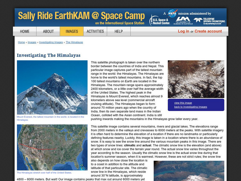
Nasa: Sally Ride Earth Kam: Investigating the Himalayas
Features satellite pictures of the Himalayas, home to the tallest mountains on Earth. Site also provides narrative on the snow line of the mountain range.
Exploratorium
Exploratorium: Third From the Sun
This site offers a short history of the evolution of the space program and man's quest for more revealing and detailed pictures of the earth.
University of Wisconsin
The Why Files: Spacy Mechanical Masterpiece
An interesting article describing repairs which were completed on the Hubble telescope in 1993 and 1997. Also contains links to pictures taken by the telescope.
Other
Simple Science: Snow and Ice Ii
The innovative resource compares snow and ice cover in the Northern Hemisphere over a period of 24 years. The images are obtained from satellite measurements of visible and microwave radiation. The activity has an interactive online...
Curated OER
Kazakhstan Political Map
Check out this great satellite image of Kazakhstan from Google Earth. Scroll past the informative political map to see the image. There is more information about the country below the satellite map.
Curated OER
Kyrgyzstan Political Map
Check out this great satellite image of Kyrgyzstan from Google Earth. Scroll past the informative political map to see the image. There is more information about the country below the satellite map.
Curated OER
China Political Map
Check out this great satellite image of China from Google Earth. Scroll past the informative political map to see the image. There is more information about the country below the satellite map.
Curated OER
Kuwait Political Map
Check out this great satellite image of Kuwait from Google Earth. Scroll past the informative political map to see the image. There is more information about the country below the satellite map.
Curated OER
Albania Political Map
Check out this great satellite image of Albania from Google Earth. Scroll past the informative political map to see the image. There is more information about the country below the satellite map.
Curated OER
Angola Political Map
Check out this great satellite image of Angola from Google Earth. Scroll past the informative political map to see the image. There is more information about the country below the satellite map.
Curated OER
Botswana Political Map
Check out this great satellite image of Botswana from Google Earth. Scroll past the informative political map to see the image. There is more information about the country below the satellite map.
Curated OER
Lesotho Political Map
Check out this great satellite image of Lesotho from Google Earth. Scroll past the informative political map to see the image. There is more information about the country below the satellite map.
Other popular searches
- Satellite Imagery
- Hurricane Satellite Images
- Infrared Satellite Imagery
- Image Satellite
- Aerial and Satellite Imagery
- Satellite Images of Erosion
- Science Satellite Imagery
- Satellite Imagery Weather Maps
- Octagonal Image Satellite


