Wikimedia
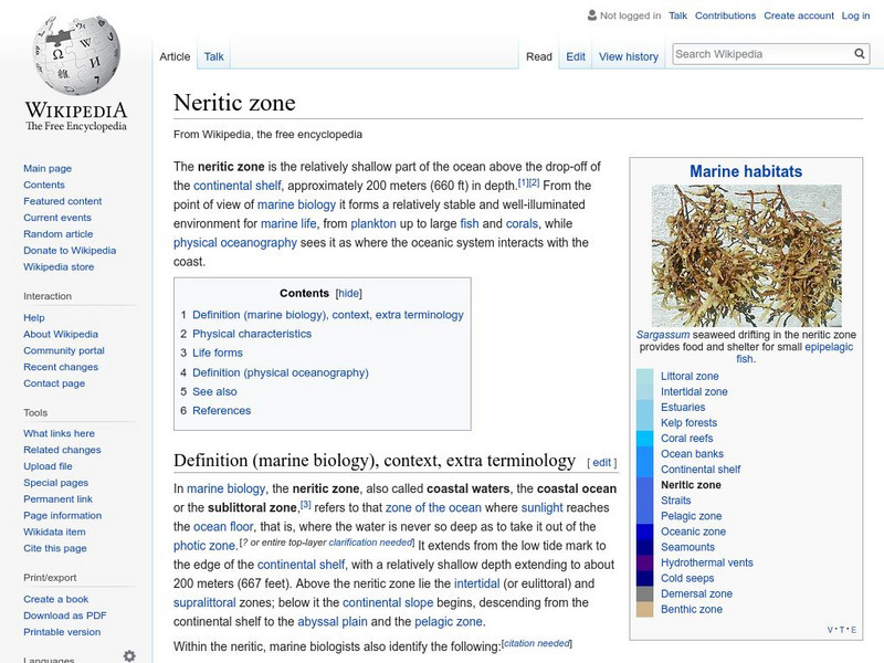
Wikipedia: Neritic Zone
Learn about the neritic zone, also called the sublittoral zone or sea floor.
Scholastic
Scholastic: Study Jams! Science: The Ocean Floor
A slideshow and a short multiple-choice quiz on the topic of the ocean floor.
American Museum of Natural History
American Museum of Natural History: O Logy: Journey to Deep Sea Vents
Take a submersible down to the seafloor. As you descend, passing through the ocean's sunlight, twilight, and midnight zones, you can observe how temperature, pressure, and light levels change. When your submersible reaches the seafloor,...
TeachEngineering
Teach Engineering: Map That Habitat
Historically, sea floor mapping occurred with a more simple data collection method: soundings. Soundings are taken by dropping a weight with a pre-measured rope off the side of the boat and noting the measurement on the rope when the...
Other
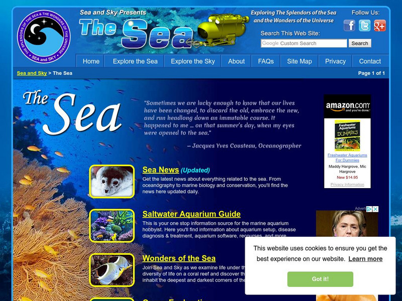
Sea Sky: Explore the Sea
Climb aboard this submarine and explore the sea. This site has pictures and information about the oceans, coral reefs, as well as famous explorers of the deep. You can also play interactive games.
US Navy
Office of Naval Reasearch: Ocean Floor
A comprehensive site that provides information on the characteristics of the ocean floor, continental margin and rise, deep ocean basin, and the mid-ocean ridge. A quick quiz follows at the end of this site.
NOAA
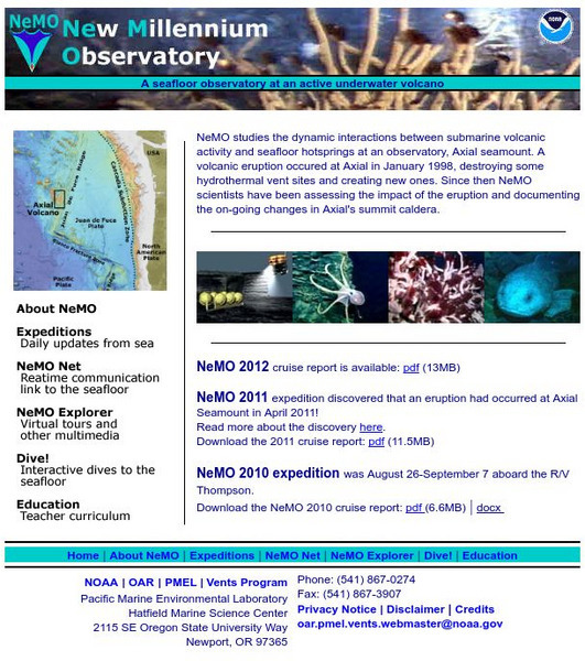
Noaa: New Millennium Observatory (Ne Mo)
NeMO is a seafloor observatory at an active underwater volcano! NeMO "background" is a great place to begin your scientific journey under the sea. Site includes virtual tours, daily updates from the sea, teacher resources and more.
Woods Hole Oceanographic Institution
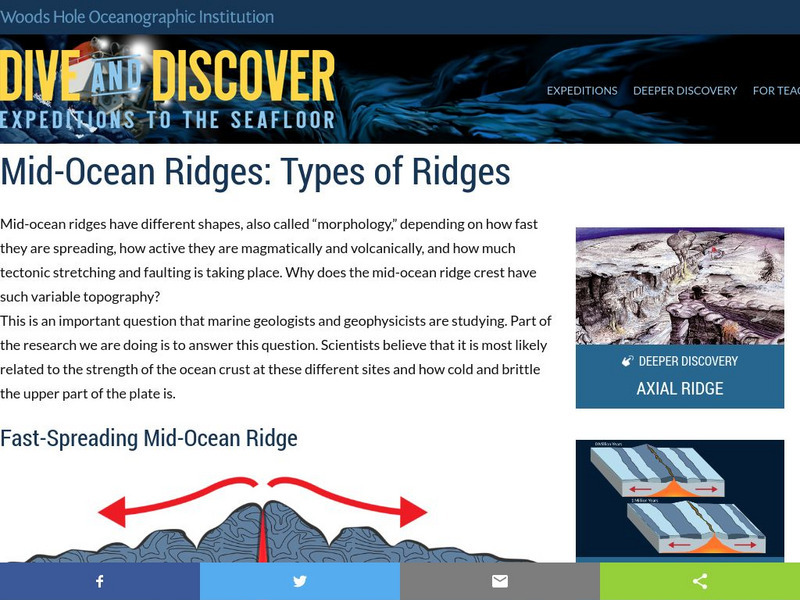
Woods Hole Oceanographic Institute: Mid Ocean Ridges: Types of Ridges
A detailed, interactive look at the mid-oceanic ridge. Learn more about slow and fast spreading ridges and how the polarity of the ocean floor helps determine the speed of spreading.
Society for Science and the Public
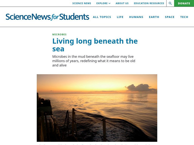
Science News for Students: Beneath the Sea
What does it mean to be alive? Scientists are now revisiting this question as they discover previously unknown microorganisms at the bottom of the ocean.
Other
University of California: Ocean Drilling Program
Scientists probe the ocean floor off Costa Rica and find evidence that may tell us more about what goes on in ocean trenches.
University of California
Ucmp: Plate Tectonics: The Mechanism
A basic description of the driving force behind plate movement. Describes major features of the ocean floor including mid-oceanic ridges.
NASA
Nasa: Magnetic Reversals and Moving Continents
This site gives a good overview of magnetic reversals. Discusses continental drift, ocean floor magnetism, and sea-floor spreading.
NOAA
Noaa: Ne Mo: Hydrothermal Vents
Clearly describes hot springs on the ocean floor called hydrothermal vents. Details characteristics of the vents and how they work.
American Geosciences Institute
American Geosciences Institute: Earth Science Week: Deep Sea Drilling
In this activity, students learn about the JOIDES Resolution, an ocean-drilling vessel. They then use string to estimate the length of the ship and compare their estimates to the real length. They look at how deep the ocean water under...
TeachEngineering
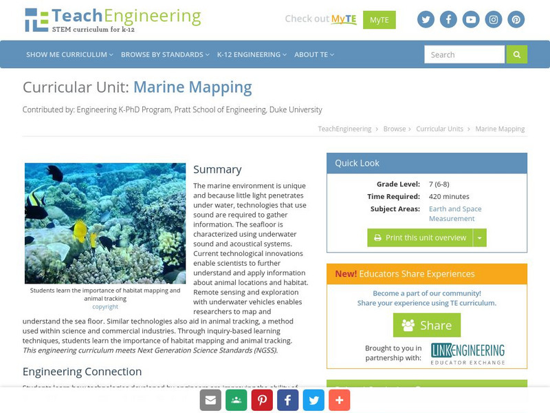
Teach Engineering: Marine Mapping
The marine environment is unique and requires technologies that can use sound to gather information since there is little light underwater. The seafloor is characterized using underwater sound and acoustical systems. Current...
US Geological Survey
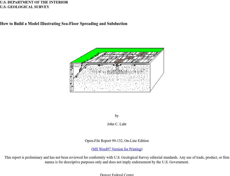
Usgs: How to Build a Model Illustrating Sea Floor Spreading
This is a comprehensive website featuring how to build a model that illustrates sea-floor spreading and subduction. It has diagrams and pictures reviewing major geological concepts.
Smithsonian Institution
National Museum of Natural History: Ocean Planet
Detailed website that was a companion to a 1995 traveling exhibit of the Smithsonian. Links to lesson plans and other educational materials are at the bottom of the page. Enter the exhibition to explore the world of the ocean.
University of California
Mid Ocean Ridge
An article from Scientific American details some recent discoveries about the ridge systems. "New maps reveal striking details of how segments of the Ridge form and evolve."
US Geological Survey
Usgs: u.s. Atlantic Continental Margin Gloria Mapping Program
This site from the U.S. Geological Survey allows you to access detailed images of the continental margin around the United States. There is additional information about the sonar methods used, and a wealth of additional sources listed.
US Geological Survey
Usgs: Plate Tectonics and Mid Oceanic Ridges
Excellent graphics and understandable text about all aspects of plate tectonics including mid-ocean ridges.
University of California
University of California, Santa Barbara/abyssal Hills
This article, published in Nature magazine, gives a detailed account of the abyssal plain feature called abyssal hills.
US Geological Survey
Usgs: Monterey Submarine Canyon, California Moored Array Data Report [Pdf]
This advanced site discusses some of the research done and research techniques used in studies of the Monterey Canyon. Great graphics showing the position of the canyon relative to other features of the continental margin. Also...
Institute of Marine Science
Forsea: If I Can't See It, How Do I Know It's There?
A diagram showing features of the seafloor and a laboratory experiment involving a model of the seafloor highlight this site. This is a good resource for teachers as well.
Encyclopedia of Earth
Encyclopedia of Earth: Arctic Ocean
Lengthy illustrated article about the Arctic Ocean discusses all the many features and characteristics of this vast northern ocean--sea ice, icebergs, ice shelves, ice islands, the Arctic Ocean floor, continental shelf--as well as the...
Other popular searches
- Sea Floor Topography
- Sea Floor Diagram
- Sea Floor Mapping
- Sea Floor Sediment
- Sea Floor Features
- Sea Floor Bathymetry
- Sea Floor Drilling
- Sea Floor Bathmat
- Sea Floor Spread
- Convection Current Sea Floor
- Mapping the Sea Floor
- Sea Floor Mappng
