Curated OER
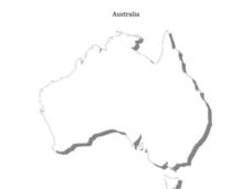
Australia Map Skills
For this Australia map worksheet, students research, find and label the following cities: Canberra, Sydney, Darwin, Brisbane, Adelaide, Hobart, Melbourne and Path.
Curated OER
Australia
In this map of Australia worksheet, students research and study a map of Australia. Students label Australia's regions, major states and important landmarks.
Curated OER
Australia
In this Australia map, students research and locate the main regions, states and important landmarks found on the map and discuss them with their classmates.
Curated OER
Australian Map (Regions)
In this Australian map worksheet, students research and label the regions of Australia on an Australian map. Students check their labeled regions when completed.
US Apple Association
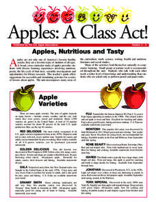
Apples: A Class Act! (Grades 4–6)
Middle schoolers have a bushel of fun as they engage in activities and research core facts about apples. Packed with suggestions for in-class activities and out-of-class research, the colorful 6-page packet is sure to satisfy hungry...
Curated OER
Lesson Plan on Australian Aborigines
Fourth graders investigate the nomadic lifestyle of the Aborigines both before and after the arrival fo the Europeans. They identify the roles of men and women, languages and number of tribes. They act out skits based on the lesson plan.
Curated OER
Views of the American West: True or False?
High schoolers explain that a landscape painting may or may not accurately represent a specific place. They identify techniques that create the illusion of three-dimensional space on a flat surface.
Curated OER
Warlugulong
Students explore and appreciate variety of ways in which environment can be depicted for range of purposes. They compare different representations of place and environment, and analyze ways information is being communicated.
Curated OER
The Rocky Shore
Students compare a realistic landscape painting with a photograph of the same place.
Other
National Museum of Australia: Voyaging With a Needle: Embroidered Maps
Hand-embroidered map samplers, the work of women needle workers from the eighteenth and nineteenth centuries, convey what was known of the world at the time and traces the routes of explorers, such as James Cook, who were then active....


