Curated OER
Worksheet #27 Questions - Middle Colonies
In this middle colonies instructional activity, students examine their knowledge through ten fill in the blank questions that relate to the aforementioned topic.
Curated OER
Rich and Poor Dictation
In this rich and poor dictation worksheet, students listen to a text about terminology used to describle rich and poor in our world today.
Flow of History
Flow of History: Colonial and Post Colonial South Africa
The political history of South Africa is profiled - from early times through the caste system to slavery and then apartheid, and finally democracy. Text plus a graphic chronological flow chart make the topic visually appealing and of...
Annenberg Foundation
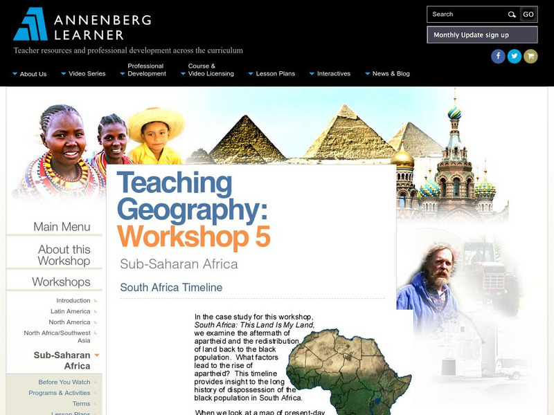
Annenberg Learner: South Africa Timeline
This timeline provides insight into the long history of struggle of the black population of South Africa. Follow the centuries of European wars and colonial rule and the policies that led to apartheid.
Other
Geoverse: Africa: South of the Sahara
A geography unit outline on the Sub-Sahara. It looks at the geography, South Africa's history, climate, population, ethnic unrest, early and colonial history, culture, economies, international aid, and environmental issues. Includes...
Countries and Their Cultures
Countries and Their Cultures: Asians of Africa
The Asian population of Africa is a small but significant minority. Whereas there have been Asians, primarily merchants, who lived on the east coast of Africa for hundreds, if not thousands, of years, a great influx of Asians came to...
Countries and Their Cultures
Countries and Their Cultures: Xhosa
"Xhosa" is the generic name used for a number of related cultural groups in South Africa. Xhosa groups include the Mpondo, Bomvana, Bhaca, Thembu, Mpondomise, Xesibe, Mfengu, Hlubi, and the Xhosa proper. These Southern Nguni peoples, as...
University of California
The History Project: South African Diamond Mines, 1870s
The Dutch East India Company established a colony at the Cape of Good Hope in 1652 and administered it until 1795 when it fell into British hands. The British returned Cape Colony to the Company for a three-year period before finally...
Other
World Socialist Web Site: A Journey Through Africa's Civilizations
From the World Socialist Web Site, this is a review of Harvard professor Henry Gates' book, "Wonders of the African World." It includes interesting details of Gates' attempts to piece together a view of precolonial African history. (4...
Curated OER
Educational Technology Clearinghouse: Maps Etc: Pre Colonial Africa, 1872
A map of Africa showing the continent prior to the Berlin Conference of 1885, when the most powerful countries in Europe at the time convened to make their territorial claims on Africa and establish their colonial borders at the start of...
Curated OER
Educational Technology Clearinghouse: Maps Etc: Colonial Africa, 1902
A map of Africa in 1902 showing the European colonial possessions established at the Berlin Conference in 1885, and the Turkish or Ottoman possession of Tripoli. This map shows major cities, rivers, and mountain systems, canals and head...
Curated OER
Educational Technology Clearinghouse: Maps Etc: Colonial Africa, 1903
A political map of Africa, as it was in 1903, showing European land claims after the Berlin Conference in 1885. The lack of natural boundaries, that is, boundaries along rivers, mountains, or native lands, shows the European system of...
Curated OER
Educational Technology Clearinghouse: Maps Etc: Pre Colonial Africa, 1885
A map of the African continent prior to the Berlin Conference of 1885, when the most powerful countries in Europe at the time convened to make their territorial claims on Africa and establish their colonial borders at the start of the...
Curated OER
Etc: Maps Etc: Africa Before the Berlin Conference, 1884
This is an interesting map of Africa showing the continent before the Berlin Conference of 1885, when the most powerful countries in Europe at the time convened to make their territorial claims on Africa and establish their colonial...
Curated OER
Etc: Maps Etc: Colonial Southern Africa and Madagascar , 1906
Map of Southern Africa and Madagascar in 1906 showing the European land claims established at the Berlin Conference of 1885 from approximately the Equator south to the Cape of Good Hope.
Curated OER
Etc: Maps Etc: Africa Before the Berlin Conference, 1882
A map of Africa as it was known in 1882 before the Berlin Conference of 1885, when the most powerful countries in Europe at the time convened to make their territorial claims on Africa and establish their colonial borders at the start of...
Curated OER
Educational Technology Clearinghouse: Maps Etc: Africa, 1897
Map of Africa in 1897 showing European colonial possessions and spheres of influence, and the independent territories at the time. The map is color-coded to show the areas controlled by the British, French, German, Turkish, Italian,...
Curated OER
Etc: Maps Etc: Physical and Political Map of Africa, 1879
Map of pre-colonial Africa, showing the predominately native countries and territories of the African continent in 1879. The counties include the Barbary States of Morocco, Algeria, Tunis, Tripoli and Fezzan, the Egyptian territories of...
British Library
British Library: Discovering Literature: Oroonoko: Historical and Political Contexts
As a young woman, Aphra Behn was a spy for Charles II's government in Antwerp and probably in South America. Two decades later, she used these experiences to write Oroonoko, the story of a prince kidnapped from West Africa, enslaved, and...
University of Groningen
American History: Outlines: New Peoples
Most settlers who came to America in the 17th century were English, but there were also Dutch, Swedes and Germans in the middle region, a few French Huguenots in South Carolina and elsewhere, slaves from Africa, primarily in the South,...


