Country Studies US
Country Studies: Ecuador
A detailed study of the history, sociology, economics, and politics of Ecuador from the Library of Congress.
Library of Congress
Loc: Country Study: Ecuador
A report on Ecuador from the Library of Congress "describing and analyzing its political, economic, social, and national security systems and institutions, and examining the interrelationships of those systems and the ways they are...
Library of Congress
Loc: Country Study: Peru
A detailed study of the history, sociology, economics, and politics of Peru from the Library of Congress.
Other
Languages in South America
Concise chart representing the Langages in South American. Learn about the languages for each country and the approximate number of speakers.
University of Texas at Austin
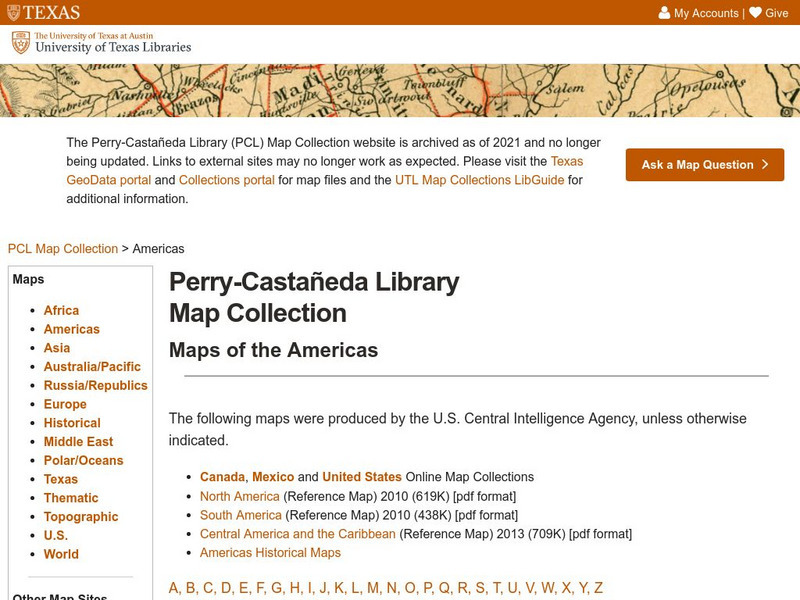
Univerisity of Texas: Maps of the Americas
A large collection of maps of all countries in the Americas including relief maps, political maps, and reference maps.
Countries and Their Cultures
Countries and Their Cultures: Arabs
The Arab world is usually considered to be comprised of the following nineteen countries: Mauritania, Morocco, Algeria, Tunisia, Libya, Chad, Lebanon, Egypt, Sudan, Jordan, Syria, Iraq, Kuwait, Bahrain, Qatar, United Arab Emirates, Saudi...
Other
Ifip: Information and Communications Technologies in Latin America [Pdf]
The content of a slideshow presentation on the state of computer technology integration in Latin American countries in the public and private sectors. Charts display data relating income levels with computer ownership, mobile phone use,...
Other
Macrohistory and World Timeline: Rebellion Against Spain in Latin America
Read about the history of rebellions against Spanish rule and the leaders that led the independence movements in Mexico, Peru, Chile, and other Latin American countries.
Adventure Learning Foundation
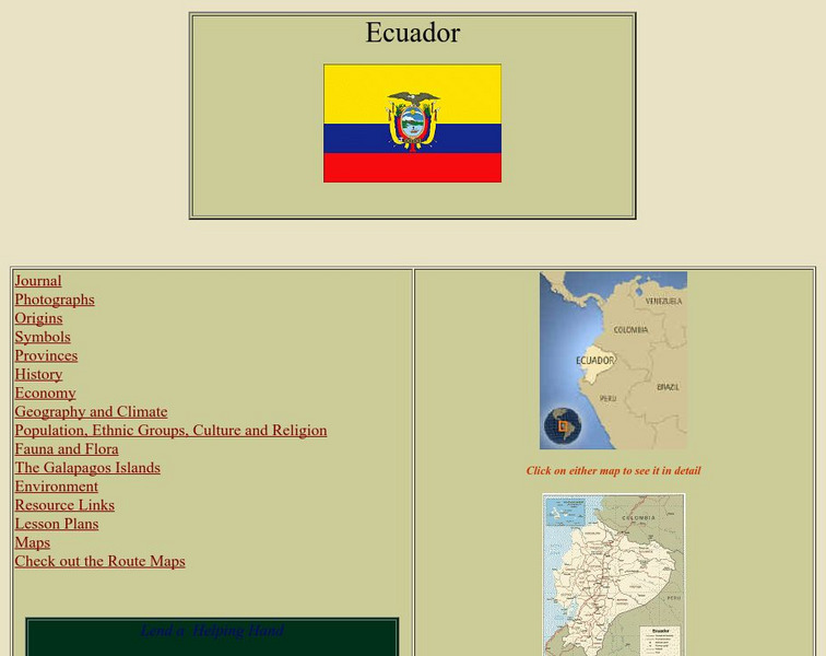
Adventure Learning Foundation: Ecuador
Comprehensive reference tool with an abundance of country specific information about the South American country of Ecuador. Content covered includes photos, symbols, provinces, history, economy, geography, climate, population, culture,...
Adventure Learning Foundation
Adventure Learning Foundation: Venezuela
Comprehensive reference tool with an abundance of country specific information about the South American country of Venezuela. Content covered includes photos, symbols, history, economy, geography, climate, population, culture, maps, and...
Geographyiq
Geography Iq: Uruguay
Read about Uruguay's economy, government, history, or people either as a quick fact or more expanded version at this very comprehensive site.
US Department of State
U.s. Dept. Of State: u.s. Relations With Guyana
Provides information about the relationship between the United States and the South American country of Guyana. Additional information about the country is available through the links at the bottom of the page.
eTravel Photos
Travel Photos From Paraguay, South America
A beautiful photo journal from Paraguay taken by Tony Costa in 2003.
BBC
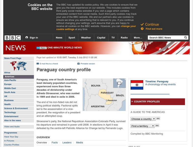
Bbc: News: Country Profile: Paraguay
The BBC provides some quick facts and general information about Paraguay's history, leaders, and media. Links to national anthem and timeline of key events.
BBC
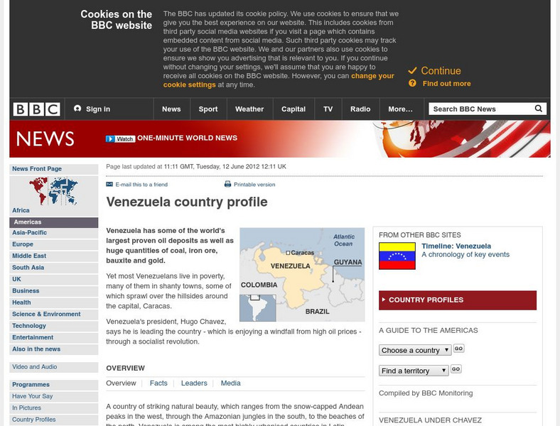
Bbc: News: Country Profile: Venezuela
The BBC profiles Venezuela, its controversial leader Hugo Chavez, its oil industry, people, economy, media, and so on. Listen to the Venezuelan national anthem.
BBC
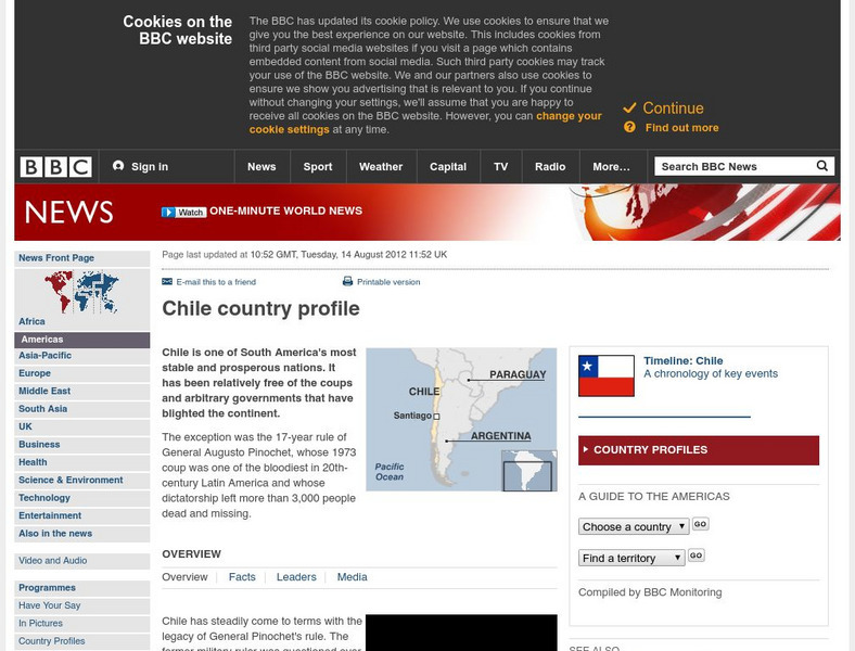
Bbc: News: Country Profile: Chile
Discover details about the history, economy, government, and news media of Chile from the BBC. Links to an audio of the national anthem and a timeline of events.
BBC
Bbc: News: Country Profile: Colombia
A profile providing an overview of cultural, political, and economic conditions in Colombia. Also provides links to related subjects.
AllRefer
All Refer Reference: French Guiana: Introduction & Country Profile
Presented is a guide to extensive information about the economy, geography, people, government, and military of French Guiana.
AllRefer
All Refer: Reference: Chile: Introduction & Country Profile
Brief overview and basic facts about the geography, economy, history, government, and people of Chile. A map is also featured.
Other
Country Reports: Colombia
This useful guide provides general country information about Colombia including topics such as culture, history, geography, economy, population, government, symbols, and a map. Some pages are only available to subscribers.
Biblioteca Virtual Miguel de Cervantes
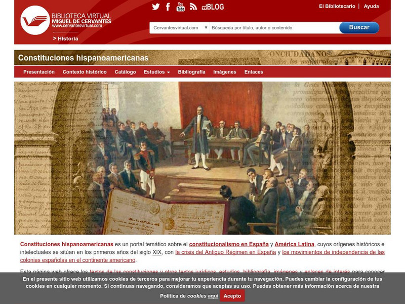
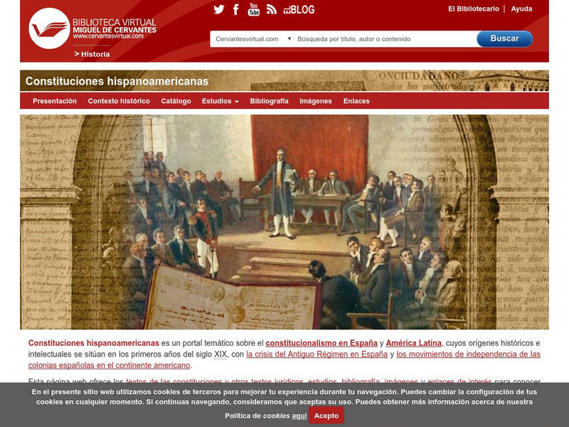
Constituciones Hispanoamericanas
Fascinating comparison of Spanish-speaking countries. Includes the flag and a general map of each country. Statistical data is provided for each country. Constitutional and government information is available for each country.
University of Texas at Austin
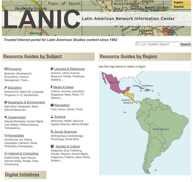
Lanic: Latin American Network Information Center
Vast network of information from and about Latin America is provided. Major topic headings include countries, economy, education, government, humanities, science, social sciences, society and culture, recreation, media and communication,...
Biblioteca Virtual Miguel de Cervantes
Datos Estadisticos De Hispanoamerica
This resource has a comparison of statistical data on all Spanish-speaking countries. Countries are compared and ranked according to land mass, population, population density, annual population growth, life expectancy, infant mortality...
Other
Merco Press: Uruguay
MercoPress is an "Independent news agency" concentrating on Mercosur (Common Market of the South) countries and includes in its area of influence the South Atlantic and insular territories. The particular site focuses on Uruguay, but...


