PBS
Amazon: South America
Map of South America in which students can use the interactive site to explore political, physical, climate and populaton features.
Other
Worldpress.org: Map of South America
This interactive map lets you click on the name of a country in South America to get a more detailed view and facts about its geography, economy, media, and demographics.
Houghton Mifflin Harcourt
Holt, Rinehart and Winston: World Atlas: South America
Features a map of all the countries in South America. Click on the name of a country to get a more detailed map and information on that country.
That Quiz
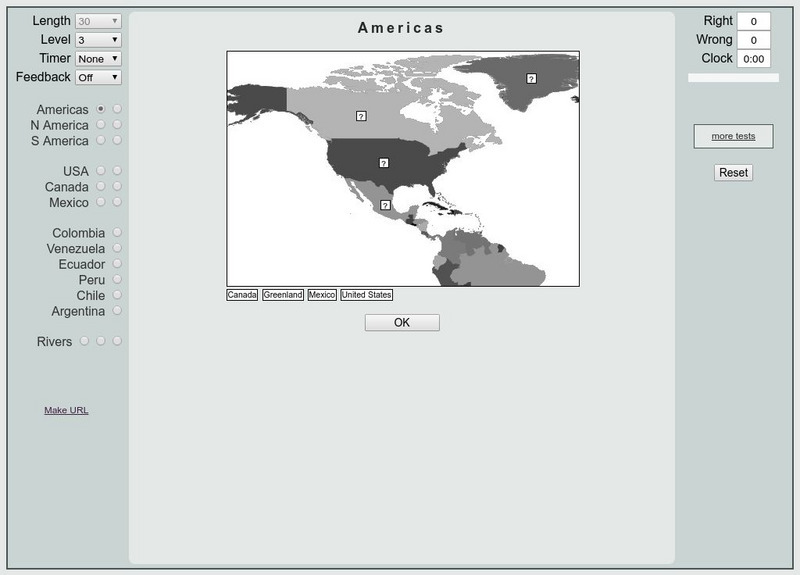
That Quiz: Practice Test: Americas
This resource provides a practice test which allows users to test their geographical knowledge of the Americas.
Lonely Planet
Lonely Planet: Map of Argentina
A basic color map of Argentina is offered at this site, with major cities identified.
University of California
Earthguide: Maps: Shaded Relief: South America [Pdf]
View a digital image of a colored shaded relief map of South America.
Lizard Point Quizzes
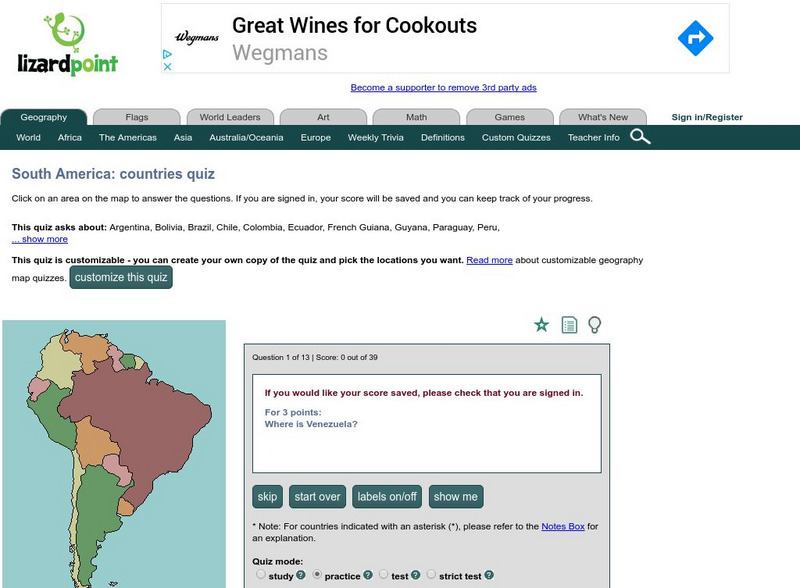
Lizard Point: South America: Countries Quiz
Try this interactive geography quiz which tests your knowledge about the countries of South America.
Other
Colombia, South America
A vast array of information about the South American country of Colombia. Features facts about its flag, coat of arms, the capital city of Bogota, music, Colombian currency, a map, and a list of facts. Click on the link to listen to the...
University of Texas at Austin
Perry Castaneda Library Map Collection: Venezuela Maps
This site provides several country and city maps as they relate to Venezuela.
University of Oregon
Mapping History: Latin American History
Interactive and animated maps and timelines of historical events and time periods in Latin American history from 1898 to 2000.
NOAA
Noaa: Cpc: Regional Climate Maps
Provides large colorful maps of climate data about each continent for the current week, month, or previous quarter.
Lizard Point Quizzes
Lizard Point: The South America Quiz
Take this interactive map quiz from Lizard Point to practice and test your knowledge of South American geography.
Other
Geography Quiz: Northern South American Cities
Have fun trying to locate famous cities in northern South America on a map. Do you know where Paramaribo is? See how much you know!
Other
Geography Quiz: Southern South American Cities
Have fun trying to locate famous cities in southern South America on a map. Do you know where Asuncion is? See how much you know!
University of Texas at Austin
Univerisity of Texas: Maps of the Americas
A large collection of maps of all countries in the Americas including relief maps, political maps, and reference maps.
University of Texas at Austin
Ut Library Online: Historical Map Collection
This extensive collection from the University of Texas Library Online of detailed maps of many regions of the Earth.
University of Texas at Austin
University of Texas: Perry Castaneda Library: Brazil Maps
Presents a great collection of maps all having to do with Brazil. There are country maps, city maps, and thematic maps that cover topics such as politics, geography, economy, land use, population, climate, and more.
Central Intelligence Agency
Cia: World Factbook: Regional and World Maps
Maps of major areas of the world can be downloaded here. The maps have excellent detail and are in color.
Curated OER
Etc: Maps Etc: Vegetation Distribution of South America, 1911
A map from 1911 of South America showing the distribution of vegetation types. The map is color-coded to show regions of forests, regions of woodlands, grass, and cultivation, regions of steppes and prairies, desert regions, and regions...
Curated OER
Etc: Maps Etc: Railways and Economic Regions of South America, 1911
A map from 1911 of South America showing the primary railways, navigable rivers, and local economic resources. The map is keyed to show regions of coffee, cocoa, rubber, wool and mutton production, cattle breeding, and silver mining,...
Curated OER
Etc: Maps Etc: Production of Petroleum in South America, 1913
"Production of Petroleum in South America in 1913.
Curated OER
Educational Technology Clearinghouse: Maps Etc: South America, 1898
A map of South America in 1898. The map shows capitals and major cities, railroads, terrain, rivers, and coastal features, and includes an insert map of the Isthmus of Panama. "The chief industries in South America are herding,...
Curated OER
Educational Technology Clearinghouse: Maps Etc: Southern South America, 1920
A map from 1920 showing the southern part of South America, including the national, state, and territory borders at the time for Argentina, Paraguay, Uruguay, southern Chile, and southern Brazil. The map shows capitals and other major...
Other popular searches
- Map of South America
- Reading Maps South America
- South America Map 1500
- South America Map `500
- South America Map Worksheet
- Physical Map of South America
- South America Map 500
- South America Map Skills
- Maps South America
- South America Map \`500
- Choropleth Map South America
- Blank Map South America


